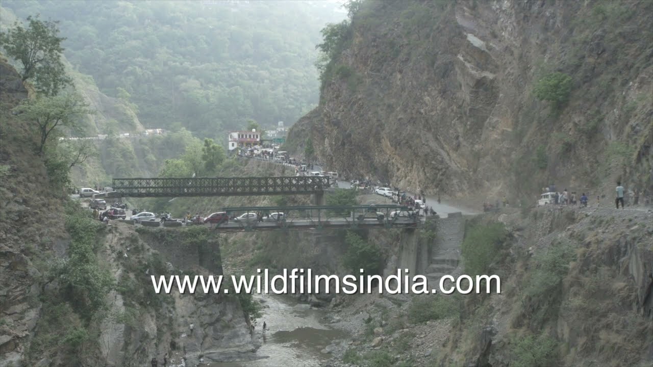
Maun Mela fishing festival and traffic near twin bridges in Uttarakhand
festival · hills
Maun Mela, a traditional community fishing festival held along the Aglar River in the Tehri Garhwal region of Uttarakhand, India.
Your archive
From the archive record
Rainy, misty and windy Mahabaleshwar. Rainy, misty and wind swept Mahabaleshwar in the monsoon months of August and September 2012! Mahabaleshwar is located at 17.92°N 73.67°E. It has an average elevation of 1,353 metres (4,439 ft). Located about 120 km (75 mi) southwest of Pune and 285 km (177 mi) from Mumbai, Mahabaleshwar is a vast plateau measuring 150 km2 (58 sq mi), bound by valleys on all sides. It reaches a height of 1,438 m (4,718 ft) at its highest peak above sea level, known as Wilson/Sunrise Point. Mahabaleshwar comprises three villages: Malcolm Peth, Old "Kshetra" Mahabaleshwar and part of the Shindola village. Mahabaleshwar is the source of the Krishna River that flows across Maharashtra, Karnataka and Andhra Pradesh. The legendary source of the river is a spout from the mout
License this footage
Broadcast-quality masters are available from Wilderness Films India.
Keep exploring
festival · hills
Maun Mela, a traditional community fishing festival held along the Aglar River in the Tehri Garhwal region of Uttarakhand, India.

hills · desert
Nubra Valley in Ladakh, India. The expansive valley floor is covered with sand, gravel, and alluvial deposits, while a narrow braided river channel winds through the cold desert terrain.

Tehri, Uttarakhand·hills · festival
Maun Mela in Tehri Garhwal and nearby regions like Jaunsar and Rawai, villagers gather in flowing rivers for a unique traditional fishing practice.
Pithoragarh, Uttarakhand·hills · river
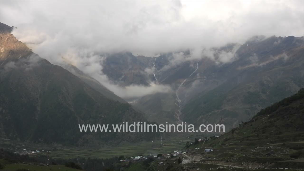
The high-altitude landscape of Darma Valley in the Pithoragarh district of Uttarakhand, India. Steep, rugged Himalayan ridges descend into a broad valley where a small cluster of mountain houses is nestled on the valley floor.

hills · aerial
Nubra Valley in Ladakh, India, where a vast braided riverbed winds through one of the highest inhabited mountain regions in the world.
hills · river
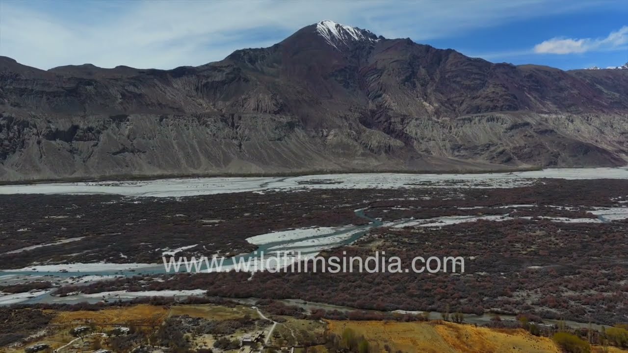
A sweeping panoramic view showcases the breathtaking landscape of Nubra Valley in the Leh district of Ladakh, India.
livestock · hills
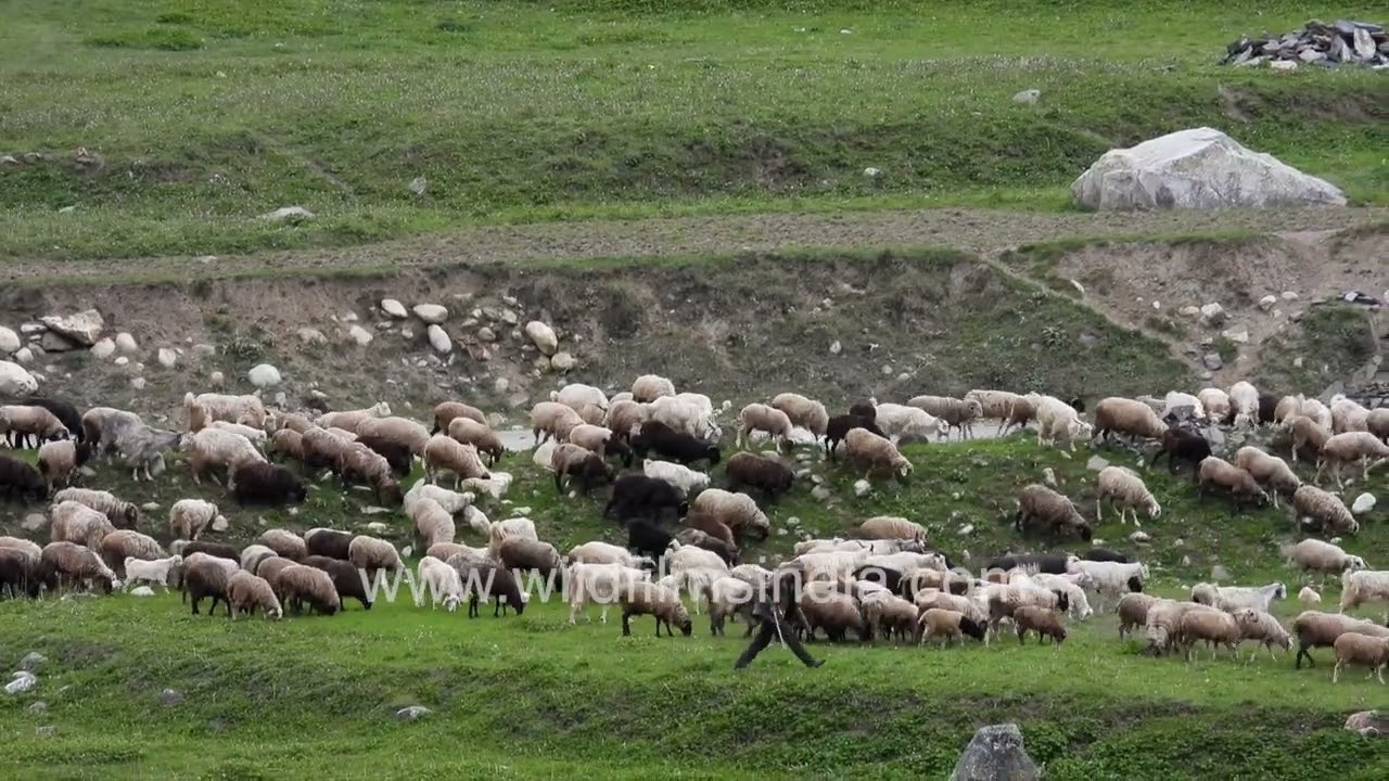
A large flock of Himalayan sheep and goats grazing across the high-altitude Bugyals (alpine meadows) of Pithoragarh district, Uttarakhand, India. Local shepherds accompany the herd as the animals feed on the lush mountain grasslands.
Ladakh·hills · river
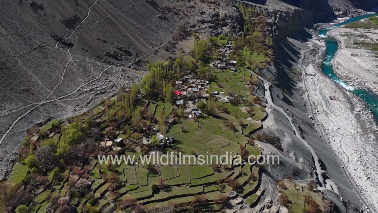
An aerial journey over Nubra Valley in Ladakh, capturing the striking beauty of the Shyok River as it winds through one of the most dramatic landscapes of the Himalaya.