
Aerial footage of Pattaya beaches in Thailand
coastline · aerial
Aerial footage of Pattaya beaches in Thailand. Pattaya is a city in Thailand, a beach resort popular with tourists and expatriates.
Your archive
14,036 clips · page 595 of 611
coastline · aerial
Aerial footage of Pattaya beaches in Thailand. Pattaya is a city in Thailand, a beach resort popular with tourists and expatriates.

coastline · aerial
Aerial view of Pattaya beaches and high rise buildings of Pattaya city in Thailand. Pattaya is a city in Thailand, a beach resort popular with tourists and expatriates.

coastline · hills
Aerial view of Pattaya beaches and high rise buildings of Pattaya city in Thailand. Pattaya is a city in Thailand, a beach resort popular with tourists and expatriates.

coastline · aerial
Aerial view of Pattaya beaches in Thailand. Pattaya is a city in Thailand, a beach resort popular with tourists and expatriates.

coastline · aerial
Aerial view of Pattaya beaches as seen from a helicopter in Thailand. Pattaya is a city in Thailand, a beach resort popular with tourists and expatriates.

birds · hills
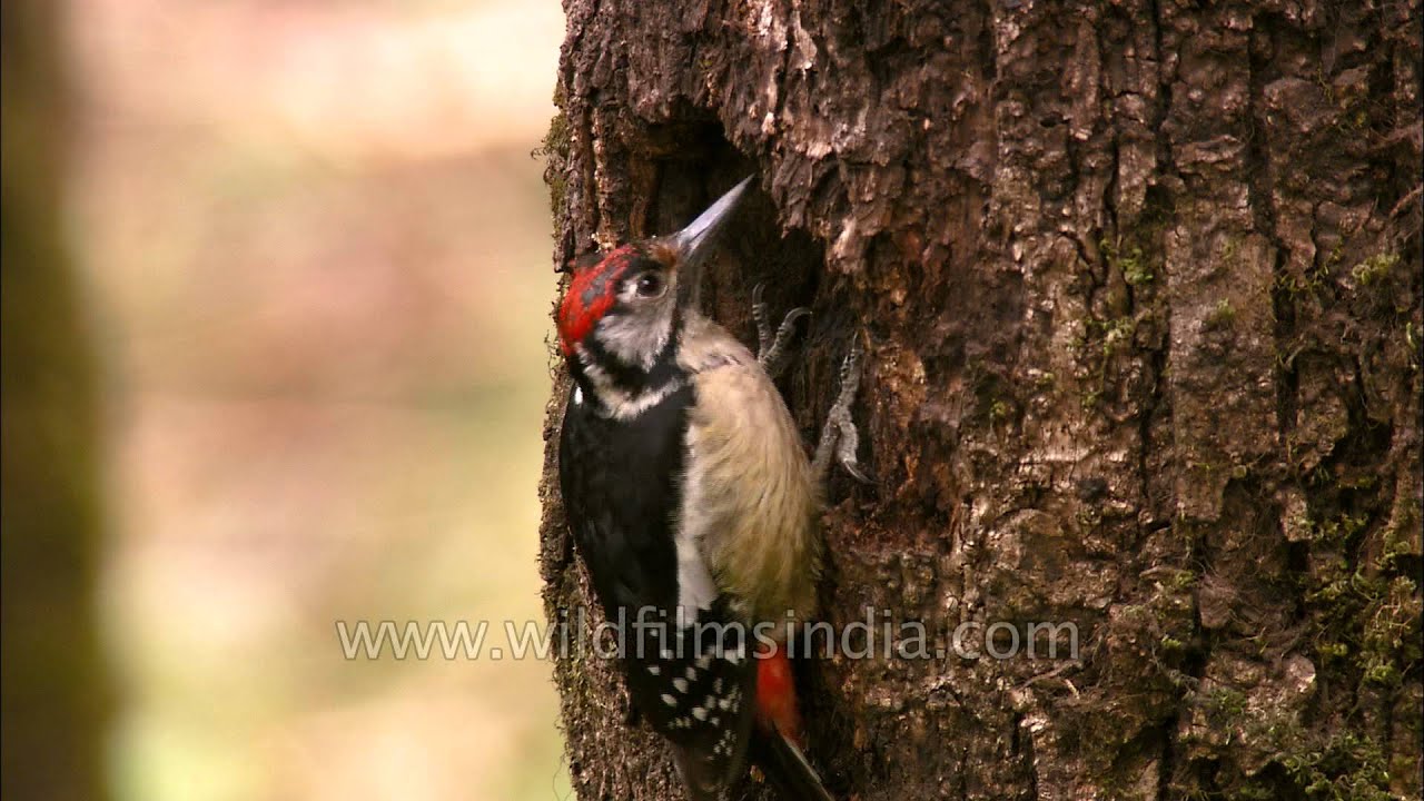
The Himalayan Woodpecker (Dendrocopos himalayensis) or Himalayan Pied Woodpecker is a species of bird in the Picidae family.
birds · hills
The Himalayan Woodpecker (Dendrocopos himalayensis) or Himalayan Pied Woodpecker is a species of bird in the Picidae family.

birds · hills
The Himalayan Woodpecker (Dendrocopos himalayensis) or Himalayan Pied Woodpecker is a species of bird in the Picidae family.
wildlife · birds
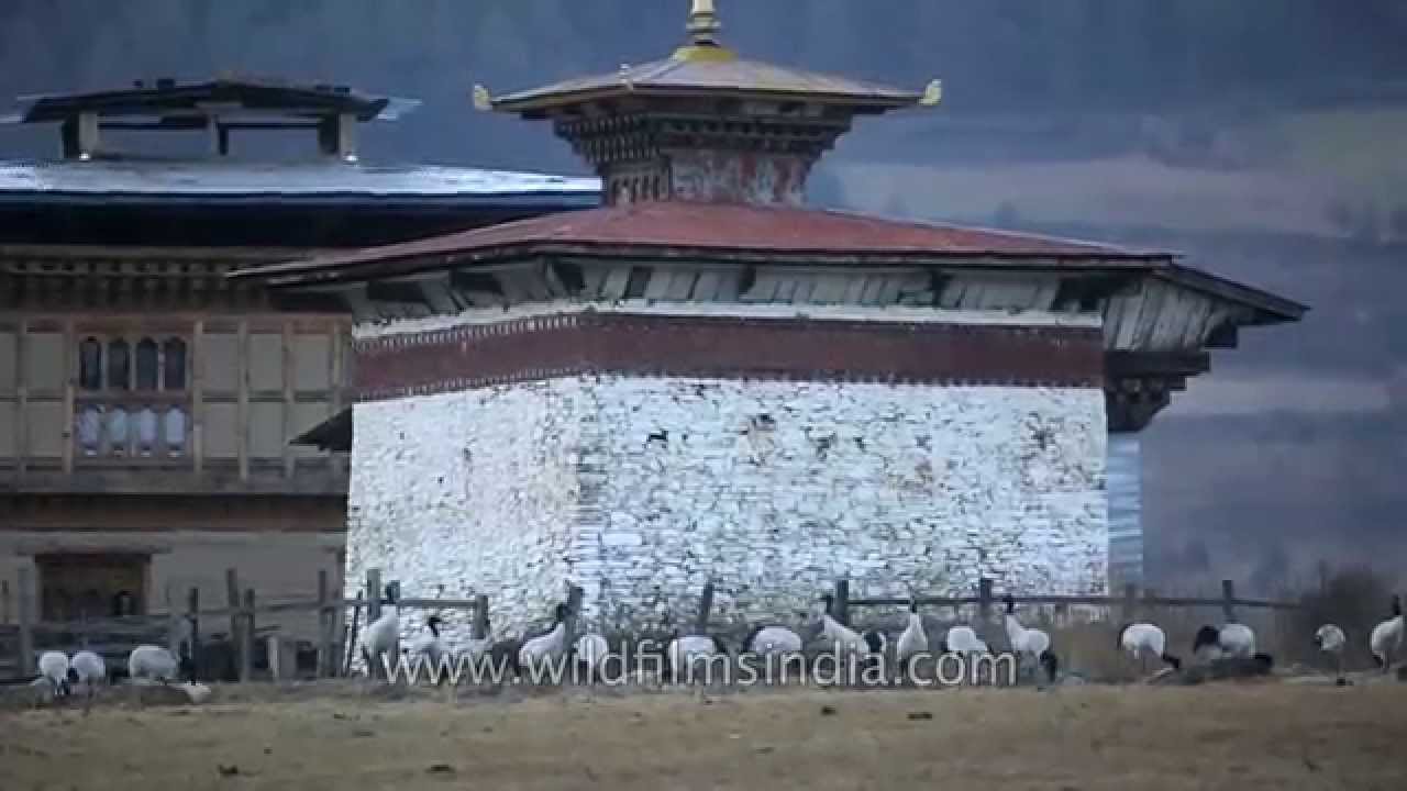
Flock of Black-necked Cranes in Phobjikha Valley, Bhutan. The Black-necked Crane (Grus nigricollis) is a medium-sized crane in Asia that breeds on the Tibetan Plateau and winters mainly in remote parts of India and Bhutan.

hills · temple
Drive with us on this virtual road trip to Dochula Pass in Bhutan. As one gets closer to the top of Dochula pass, the north face sides of the road show patches of snow.

hills
High peaks of the Nepal Himalaya, as seen from west of the Arun Valley that lies south of Makalu. Everest lies to the east of this shot.

Bhutan·highway · hills
Driving through Paro, turning up to Nak-Sel from main Paro road through village. Naksel, a community-based project that is eco friendly and Energy Saver efficient, blends the heritage of traditional Bhutanese architecture and the comfort of…
hills · wildlife
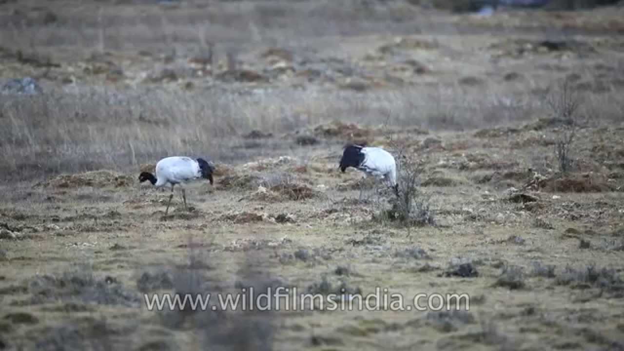
A number of black necked cranes pecking at the ground to pick up grain and dig deeper for tubers, in the marshes of agricultural fields around Phobijha valley. In the backdrop, one can see the AmanResorts' Gangtey hotel.

wildlife · birds
A number of Black necked Cranes or Grus nigricollis (also known by some ornithologists as Tibetan Cranes) peck at tubers in a field around a house in Gangtey, Phobjikha valley. One can see the Aman Resort property in the backdrop.
Bhutan·hills
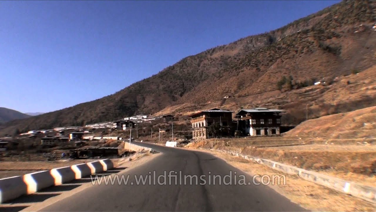
Thimphu, also in the past spelled as Thimpu, is the capital and largest city of Bhutan. It is situated in the western central part of Bhutan and the surrounding valley is one of Bhutan's dzongkhags, the Thimphu District.
hills · forest
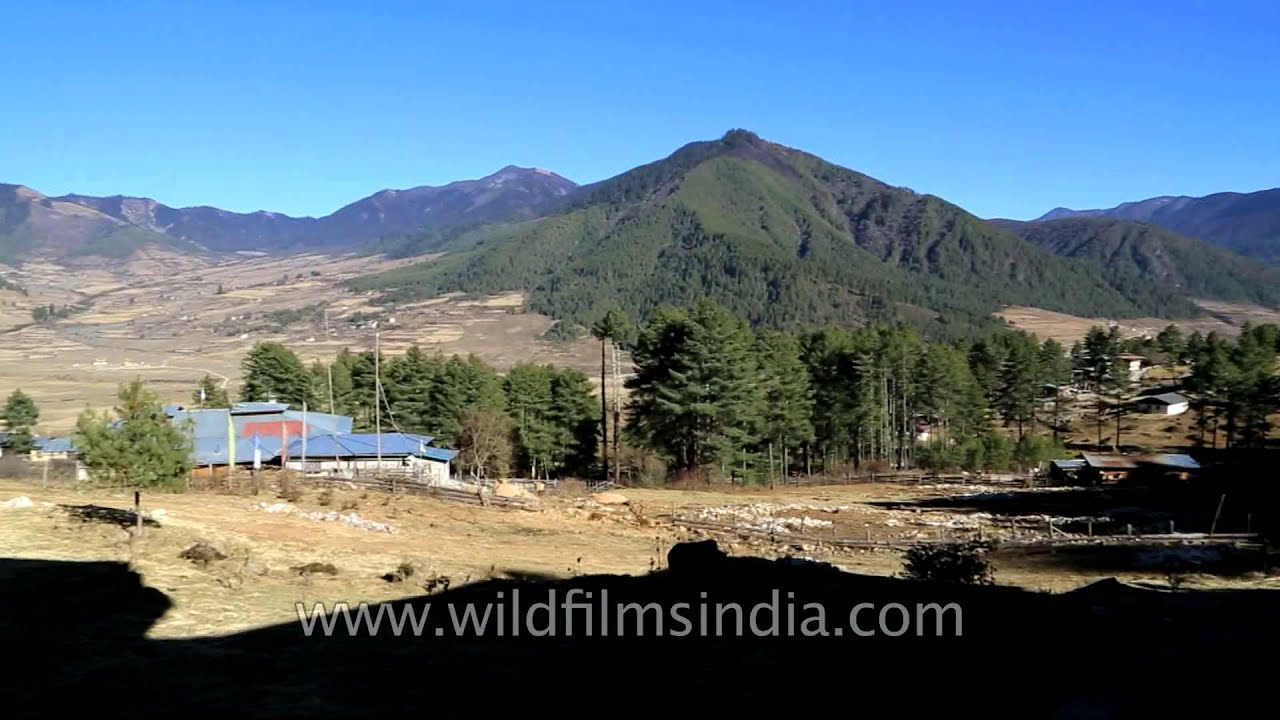
Encircled by pine forests in the hidden valley of Phobjikha -- Gantey Gompa, home to the very rare Black Necked cranes, the Dewachen Hotel features sixteen double rooms, modern bathroom fittings, heavenly bedding comforts, and a restaurant…
Bhutan·hills
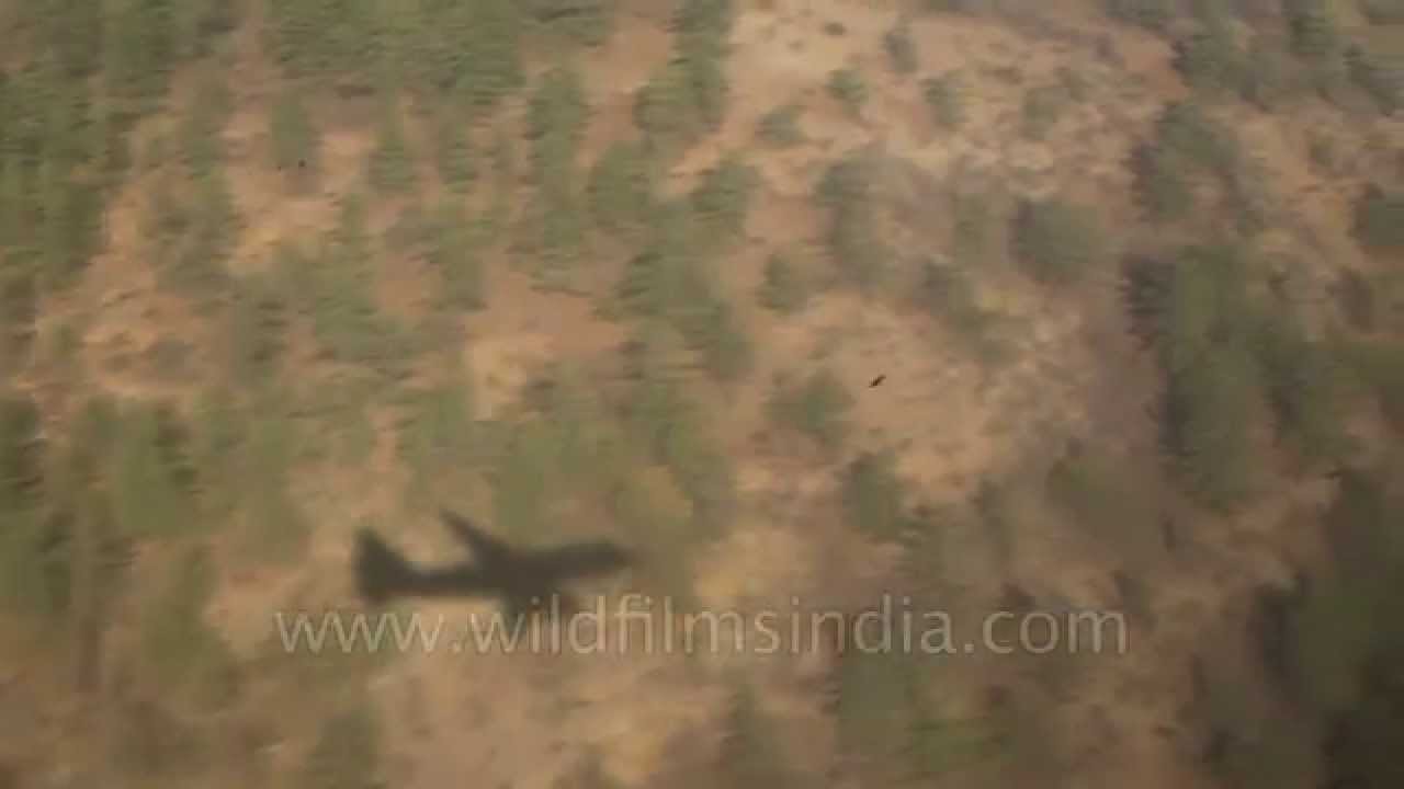
Druk Air aeroplane trails its shadow on the conifer trees on the north valley face of Paro valley, prior to landing at Paro airport - said to be one of the most dangerous landings at any airport in the world.
river · hills
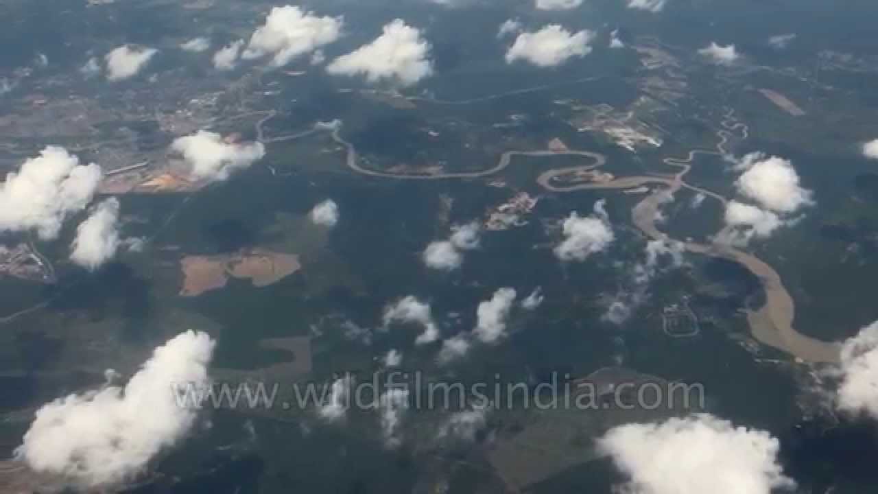
A river meanders its way to the delta of the Irrawady river in Myanmar. Irrawaddy River, Burmese Ayeyarwady , principal river of Myanmar (formerly Burma), running through the centre of the country.

river · hills
Mt. Kanchenjunga and Pandim aerial view. Elevation: 28,169 feet (8,586 meters) Prominence: 12,867 feet (3,922 meters) Location: Border of Nepal and India, south Asia First Ascent: George Band and Joe Brown (UK), May 25, 1955 The name Kangch…

river · hills
India's highest peak lies along the border with Nepal. Mt. Kanchenjunga and Pandim aerial view.

hills
You can see the shadow of an airplane as it gets closer to the ground, before landing at the airport in Paro, Bhutan.
Bhutan·hills
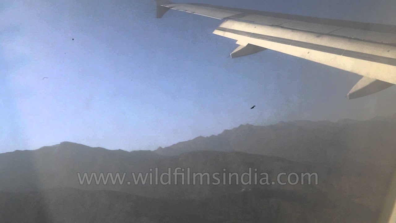
As one starts making the steep descent to Paro airport in Bhutan, one can still see the distant peak of Kanchejunga in Sikkim, India, across a range of ridges.

river · temple
Aerial view of the peaks to the north of Bhutan. Primarily see the sacred mountain of Jomolhari in Bhutan.
Related subjects