
Aerial view of Regru village beyond Abbott Mount, Almora, in Uttarakhand
hills · monsoon
Abbott Mount is an old British times hill station in Kumaon, close to Champawat, Devidhura and in the general Almora district.
Your archive
13,608 clips · page 198 of 592
hills · monsoon
Abbott Mount is an old British times hill station in Kumaon, close to Champawat, Devidhura and in the general Almora district.
hills · highway
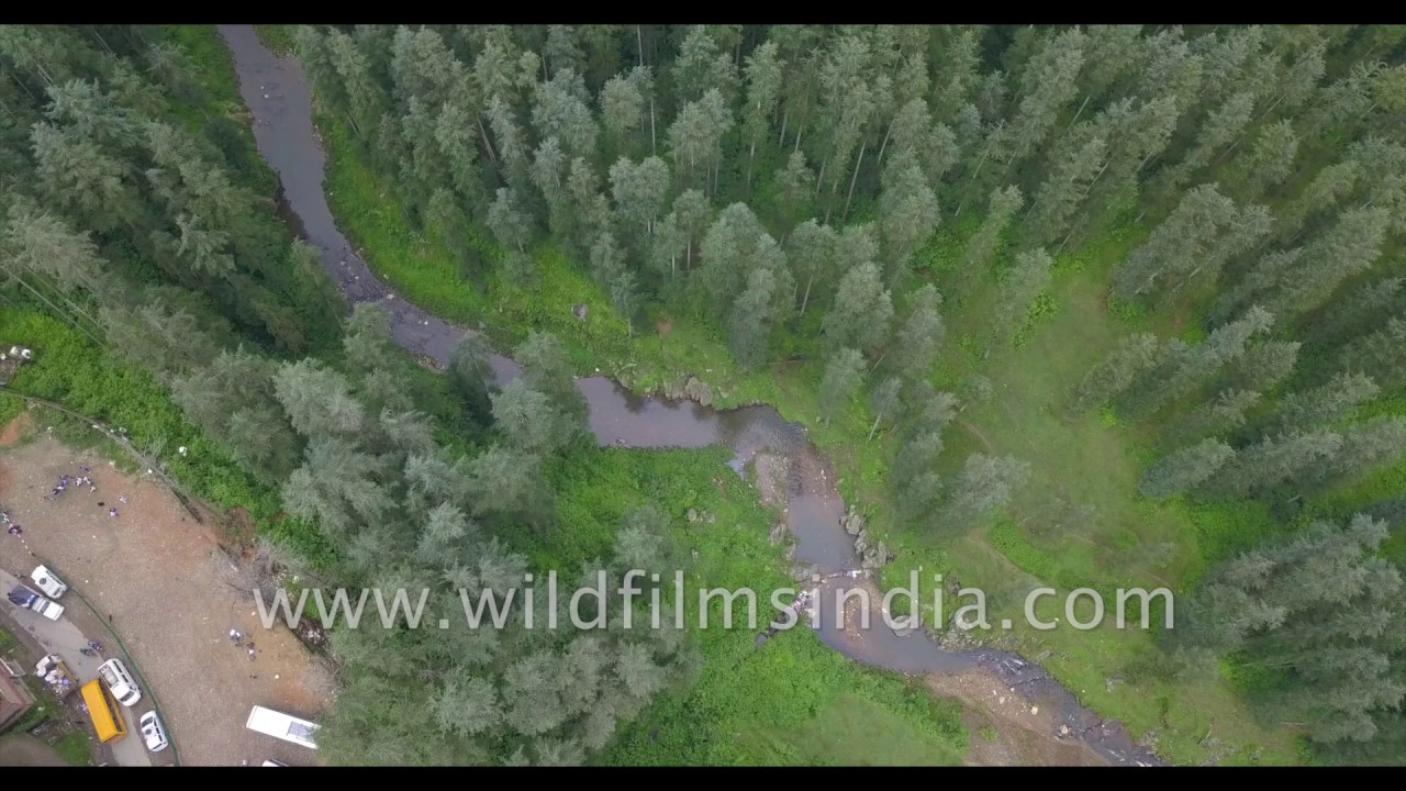
See a lovely stream meander along a busy road that is experiencing a traffic jam with two yellow school buses waiting to cross a series of taxis and local cars and jeep-taxis.

river · hills
A feast for the eyes with stunning blue waters of Umngot River, Dawki in Jaintia Hills, Meghalaya. What a fabulous fishing scene on the Umngot river in Meghalaya, north-east India.

aerial · hills
Also known as Gentse Gaden Rabgyel Lling monastery, Bomdila monastery was built in 1965 by the twelfth incarnation of the TsonaGontse Rinpoche.

Maharashtra·aerial · hills
Badlapur in Thane, Maharastra looks exquisite from the sky. The city nestled in the Matheran Range in the Western Ghats. The concrete landscape of the city is surrounded by green hills.

Arunachal Pradesh·highway · river
Ascending to Se La to get to Tawang, and also beyond Tawang, to get to Bum La, one encounters multiple hair-pin loopy ascents.

hills · aerial
An aerial view of the stunning sights of meadows and hillocks of Kyatanamakki hill Station in Karnataka's Chikmagalur coffee country.
hills · aerial
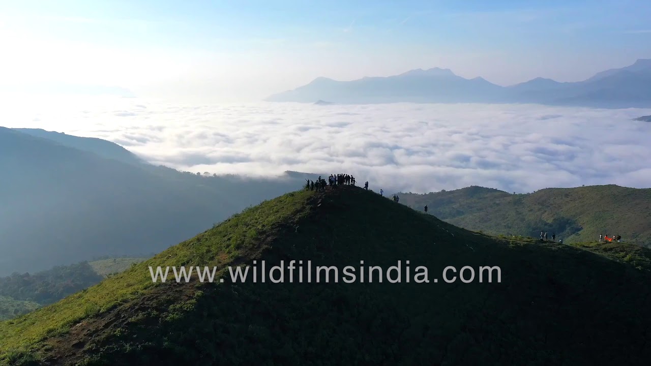
The picturesque Kyatanamakki Hill station just before sunset as seen in aerials. A popular destination for trekkers, offroading, we visit these hillocks in aerials.

aerial · hills
An aerial view of the stunning sights of meadows and hillocks of Kyatanamakki hill Station in Karnataka's Chikmagalur.

hills · aerial
An aerial tour of Kundadri Hills in Karnataka surrounded by dense forest of the Western Ghats and mist covering the forest as seen from the sky.
Himachal Pradesh·snow · village
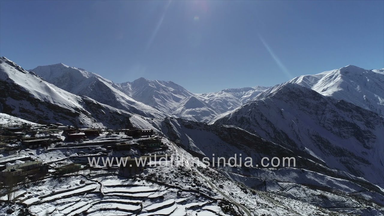
Aerial views of a snow-covered Nako Village in the Spiti Valley of Himachal Pradesh in winter. At an altitude of 11,893 feet or 3,625 meters above sea level, this village lies near the Indo-China border in Kinnaur district.
Leh, Ladakh·aerial · hills
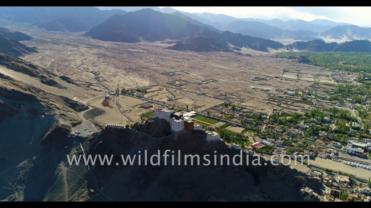
Ladakh aerial journey across the fantastic landscape in north Indian trans-Himalayan mountains.

forest · hills
This breathtaking aerial footage captures the untouched beauty of the Kharsali forest near Rohru in Himachal Pradesh.
Uttarakhand·hills · highway
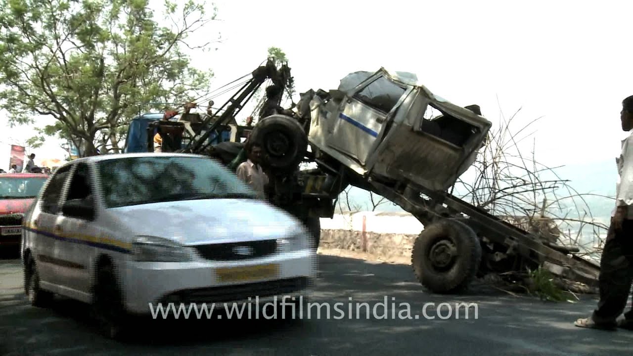
A car accident on the way to Mussoorie... After the jeep had driven off the cliff-face road en route Mussoorie, spectators gaze down the khudside at the jeep that is about to be lifted up by a crane.

Jammu and Kashmir·highway · hills
Truck accident on the Zoji La pass of Indian National Highway 1 between Srinagar and Leh. It lies in the western section of the Himalayan mountain ranges.
highway · snow
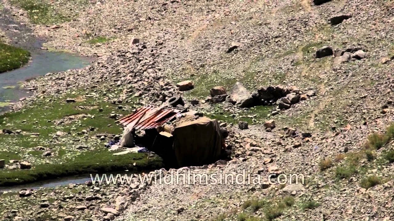
Truck accident in Drass. Narrow roads leads to accidents en route to Ladakh. The narrow road is on the western section of the Himalayas mountain range and is part of the 275-mile long route from Srinagar to Leh.

Jammu and Kashmir·hills · village
Dras is a village in the Kargil District of Jammu and Kashmir, India on National Highway 1D (India) NH 1D. It is often called 'The Gateway to Ladakh'.

Jammu and Kashmir·hills
Apple cultivation in Kashmir, India. Eighty per cent of the apples supplied to the rest of the country, along with Bangladesh and Nepal come from right from Kashmir and Srinagar.

Jammu and Kashmir·river · lake
Srinagar is the summer capital of the Indian administered state of Jammu and Kashmir. It is situated in the Kashmir Valley and lies on the banks of the Jhelum River, a tributary of the Indus.

Jammu and Kashmir·hills · snow
Sonamarg or Sonmarg, located at a hefty altitude of 2,740 m above sea level, literally means 'Meadow of Gold'. The picturesque natural beauty of the region brought this name to Sonamarg.

Jammu and Kashmir·railway · highway
The distance between Banihal to Ramban in the Indian state of Jammu and Kashmir is 39 Kms approximately via National Highway 1A. It takes around one hour twelve minutes to reach Ramban from Banihal.

hills · bazaar
Stock footage of driving through bylanes of Leh bazaar in the Ladakh city of Jammu and Kashmir, India.

Ladakh·hills
Shanti Stupa is situated at a height of 4267 meters overlooking the Leh city, it gives a panoramic view of surrounding snow capped mountains .
Related subjects