
Chao Phraya River, Thailand: Aerial view
aerial · river
View Chao Pharaya River as seen aerially in Thailand. The Chao Phraya is a major river in Thailand, with its low alluvial plain forming the centre of the country.
Your archive
2,307 clips · page 97 of 101
aerial · river
View Chao Pharaya River as seen aerially in Thailand. The Chao Phraya is a major river in Thailand, with its low alluvial plain forming the centre of the country.

aerial · coastline
Aerial footage of the Singapore Strait, as seen from the southern-most part of the Malacca Strait which is known as the Singapore Strait.

aerial
Flying over the Singapore Strait that divides Singapore island and Indonesia, one passes over the golf course of the Laguna National Golf and Country Club and the Tanah Merah Country Club.
United Kingdom·aerial
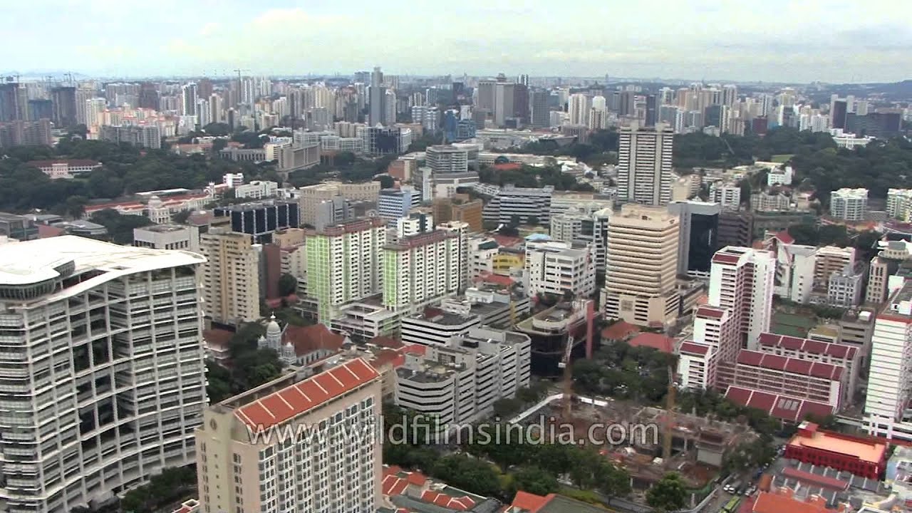
Aerial outdoor daytime footage of Singapore and London cities.

aerial

aerial
Aerial footage of the Republic of Singapore. Taken above Bugis village, looking across to the harbour and the city skyline. Bugis mall / plaza sits just below the aerials with the MRT station nearby. DHL tethered balloon with helium.

aerial


aerial · architecture
Aerial footage of the Republic of Singapore. Taken above Bugis village, looking across to the harbour and the city skyline. Bugis mall / plaza sits just below the aerials with the MRT station nearby. DHL tethered balloon with helium.

aerial
A Jet Airways plane from India landing at Singapore's Changi International Airport, on a cloudy rainy day. Aerial views of the sea and the island, as well as the airport and runway can be seen.

aerial · forest
Aerial view of Singapore, with Indonesian islands and Malaysian mainland forests and coastline en route. Ships and large boats and trawlers in the harbour at the edge of Singapore.

hills · aerial
Aerial view of Everest and Tibetan Plateau. Mount Everest, also known in Nepal as Sagarmāthā and in Tibet as Chomolungma, is the Earth's highest mountain. It is located in the Mahalangur section of the Himalayas.

aerial
Aerial view of Malaysia showing agricultural fields among the tropical rain forest, a mid-sized town with a focus on industrial activity, and a reasonably well-developed network of rural roads, in Malaysia, outside Kuala Lumpur city, en rou…

Nepal·hills · aerial
Flying over the high peaks of Nepal. Air transport is all important to Nepal (since it is a landlocked country) and has been largely developed since 1953, first by the Indian Air Lines, and subsequently in 1959 by the Royal Nepal Airlines C…

Nepal·hills · snow
Plane taking off from Tribhuvan airport, Nepal, and heading towards Paro in Bhutan! The green valley around Kathmandu can be seen beyond the perimeter fencing of the Tribhuvan International airport.

hills · aerial
A beautiful aerial view of the snowy Himalayan peaks of Bhutan. The mountains of Bhutan are some of the most prominent natural geographic features of the kingdom located on the southern end of the Eastern Himalaya, Bhutan has one of the mos…

politics · snow
See some fabulous and rare aerials views of the Siachen Glacier, a major bone of contention between India and Pakistan. See India's artillery fire power deployed at Siachen for the first time, perhaps.
Bhutan·aerial · hills
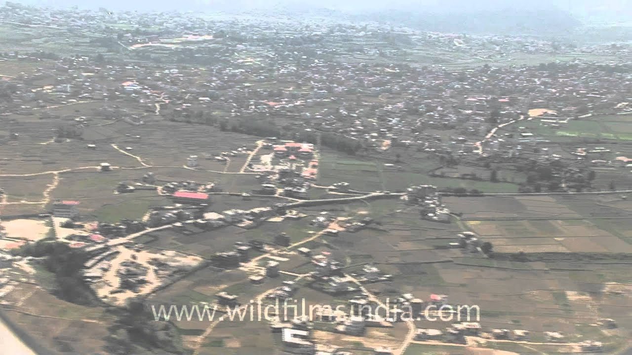
The Bhutanese countyside as seen from the air, prior to landing at Paro airport. There is a steep descent into the Paro valley, as the mountains on all sides are steep, so the plane needs to make a sudden descent into the deep valley.
hills · aerial
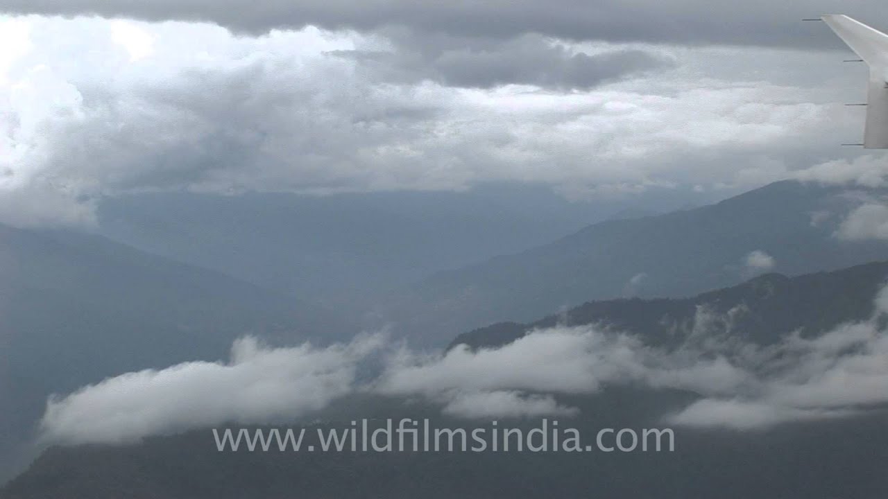
Aerial view of hills, Bhutan, prior to landing at Paro airport, and on the way from Kathmandu in Nepal. The valley quickly gives way to sparsely-wooded hill slopes.

Nepal·hills · snow
Thick cloud cover before landing at Kathmandu's Tribhuvan International airport, Nepal... Fabulous aerial views of the Himalaya, from 35, 000 feet above mean sea level! This clip also affords a superb view of Mt.

Nepal·hills · aerial
Fabulous aerial shots of Mount Makalu and Mount Everest. Mt. Lhotse flanking Mt. Everest to the right, 8,516m high as seen from the South, and Mt. Nuptse flanking Mt. Everest to the right, standing tall at 7,861m high.

coastline · aerial
A helicopter ride from the Cannes-Mandelieu Airport in France, heading to Nice airport. A view of the runway before the chopper gains elevation.
aerial
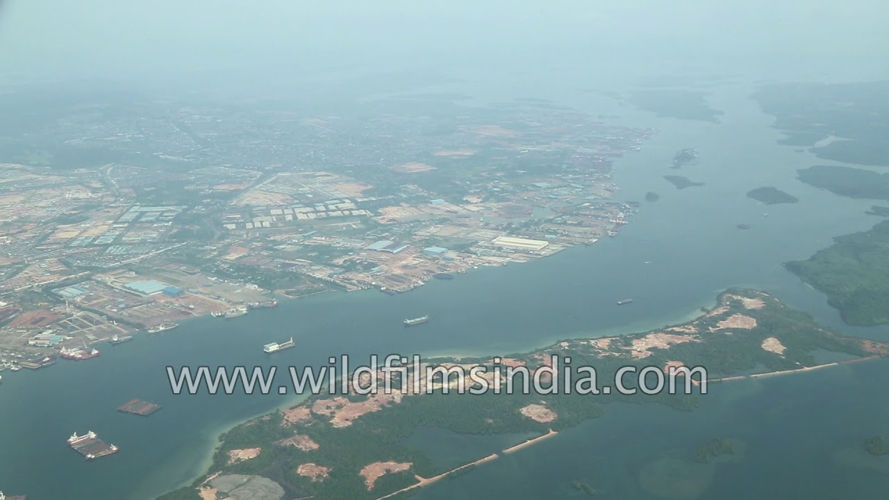
The Republic of Singapore as seen aerially from the flag carrier Singapore Airline. Singapore, an island city-state off southern Malaysia, is a global financial centre with a tropical climate and multicultural population.
Related subjects