
Tea leaf harvesters with traditional bamboo hats and baskets - Assam
river · monsoon
Woman wearing traditional conical hats with baskets on their back pluck tea leaves in a lush tea garden in Assam.
Your archive
Search results
Search results
634 clips in river · page 23 of 27
river · monsoon
Woman wearing traditional conical hats with baskets on their back pluck tea leaves in a lush tea garden in Assam.

Panna, Madhya Pradesh·forest · river
Panna, a district lying on the north-east region in the state of Madhya Pradesh, sits on active diamond mines and is surrounded by rolling meadows with evergreen trees, colourful rocks, hills and breathtaking waterfalls.

lake · river
The Sambhar Salt Lake, India's largest inland salt lake, sits 96 km south west of the city of Jaipur (Northwest India) and 64 km north east of Ajmer along National Highway 8 in Rajasthan.

river · industry
Sand mining and river bed stone collection are both illegal in India. They deprive the river of its natural course of flow, and create pockets and gaps that then harbour monsoon flood waters and then lead to irregularities in its flow.

Uttar Pradesh·river · aerial
An aerial of Varanasi city can be seen along the Ganga river. The city of Varanasi, or Banaras, is situated along the banks of the river Ganga, in Uttar Pradesh, as a result of which, it is under the permanent threat of flooding.
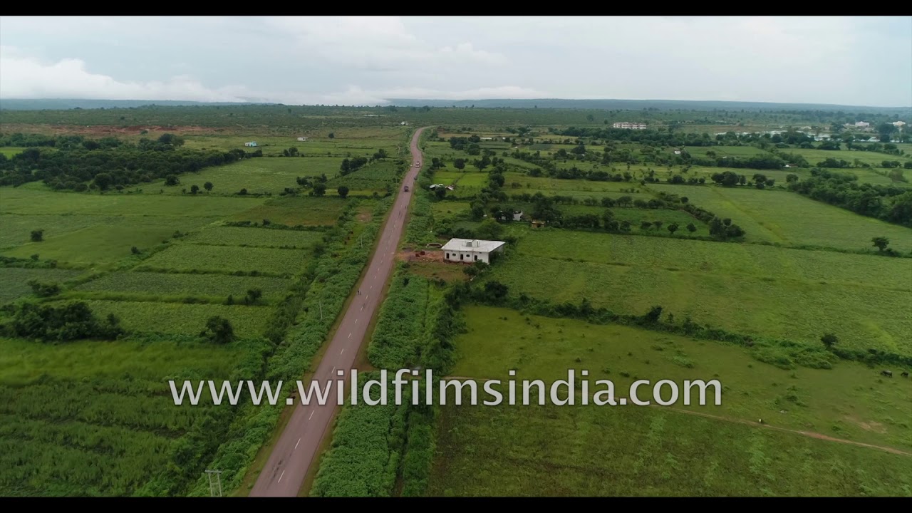
Madhya Pradesh·forest · wildlife
Panna, a district lying on the north-east region in the state of Madhya Pradesh, sits on active diamond mines and is surrounded by rolling meadows with evergreen trees, colourful rocks, hills and breathtaking waterfalls.

Madhya Pradesh·forest · wildlife
Panna, a district lying on the north-east region in the state of Madhya Pradesh, sits on active diamond mines and is surrounded by rolling meadows with evergreen trees, colourful rocks, hills and breathtaking waterfalls.

Guwahati, Assam·river · farmland
A beautiful aerial view of monsoon Asia - the rich rice bowl of north-east India's state of Assam, richly fed by the silt coming down from the Himalaya, in the Brahmaputra river (which often resembles an ocean, as it is so large and wide!).…

Madhya Pradesh·forest · river
A property that is just 600mtrs away from the Panna National Park entrance, 'Ken River Lodge' is a paradise stay amidst the woods and right on the edge on Ken river.

river · aerial
Flying over a stunning waterfall in Madhya Pradesh, Central India. This massive waterfall looks quite friendly in winter but the same fall is gushing and quite a massive fall during the monsoon months.

Madhya Pradesh·forest · river
Ken River(a tributary of Yamuna river), is one of the major rivers of the Bundelkhand region of central India and flows through two states, Madhya Pradesh and Uttar Pradesh.

Telangana·monsoon · highway
Monsoon rains and the streets of Hyderabad look like a river in one of the heaviest flooding in 2020. The highway is submerged in water and pedestrians with umbrellas are struggling to walk in the water.

monsoon · river
The Brahmaputra river basin in Assam is one of the most flood-prone areas in India and the frequency has increased over the years. This has been filmed during the floods in the 2020 monsoon.

Uttar Pradesh·river · monsoon
A flooded Ganga Nehar or Ganga Canal in the monsoon in Murad Nagar, Meerut in North India. Locals are seen on the banks of the canal which is also a holy site for Hindu devotees.

Uttar Pradesh·river · industry
Big construction project near Delhi/NCR region, on the ecologically sensitive Yamuna / Jamna / Jamuna river-bed near NOIDA, with hundreds of tractors and trucks working away to lift river-bed sand, dredge the riverine alluvial flood plain a…
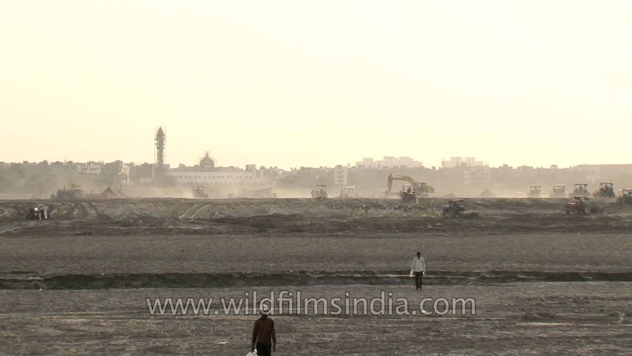
Uttar Pradesh·monsoon · industry
Big construction project near Delhi/NCR region, on the ecologically sensitive Yamuna / Jamna / Jamuna river-bed near NOIDA, with hundreds of tractors and trucks working away to lift river-bed sand, dredge the riverine alluvial flood plain a…

river · hills
Kalesar Forest Rest House lies on the Yamuna river, on a spur or promontary over the river valley below, just as it enters the plains from the Himalayan foothills, near the confluence with the Giri nadi.

forest · river
Don't you just want to walk that lovely path above the falls, and peer over the ledge or the edge of the precipice and see the water falling to the brown monsoon lagoon below, surrounded by thick forests and a stream emanating from the flow…

river
What a wonderful set of imagery from the Old India - no pollution, dirt, corruption or compromise in sight! This is the way India used to be, and as it still remains, in pockets. And this is the India we love, and fight on for...
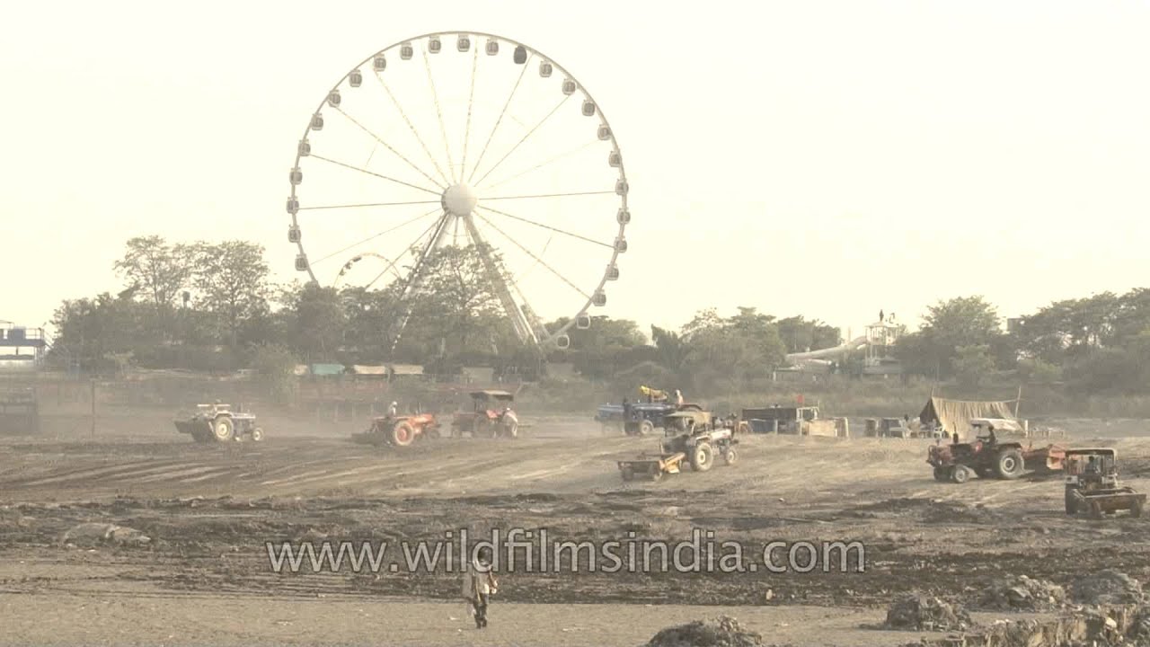
Uttar Pradesh·industry · river
Huge construction project near Delhi/NCR region, on the ecologically sensitive Yamuna / Jamna / Jamuna river-bed near NOIDA, with hundreds of tractors and trucks working away to lift river-bed sand, dredge the riverine alluvial flood plain…

lake · river
Sunset over the salt pans of Sambhar Lake in Rajasthan. The Sambhar Salt Lake, India's largest inland salt lake, sits 96 km south west of the city of Jaipur (Northwest India) and 64 km north east of Ajmer along National Highway 8 in Rajasth…

hills · river
An aerial view of Niti Valley reveals a glacial-fed river winding through a wide sandy bed with multiple braided channels. The water shows a clear turquoise-to-greenish hue, typical of Himalayan rivers during non-monsoon periods.

hills · aerial
An aerial view captures the Ksasi River flowing through a verdant valley in the East Khasi Hills of Meghalaya, India, likely near Shella or Dawki, close to the Bangladesh border.

river · architecture
Sights of possible dangers and destruction after heavy rains hit Karnataka in the monsoon. An overflowing dam submerges the walkway across the dam.
Every clip here is available to license. Get in touch