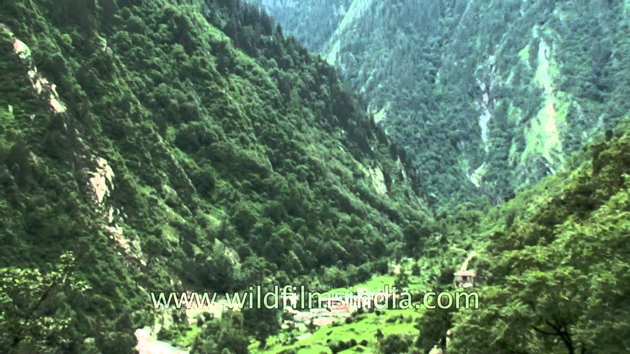
Lush green Uttarakhand
forest · hills
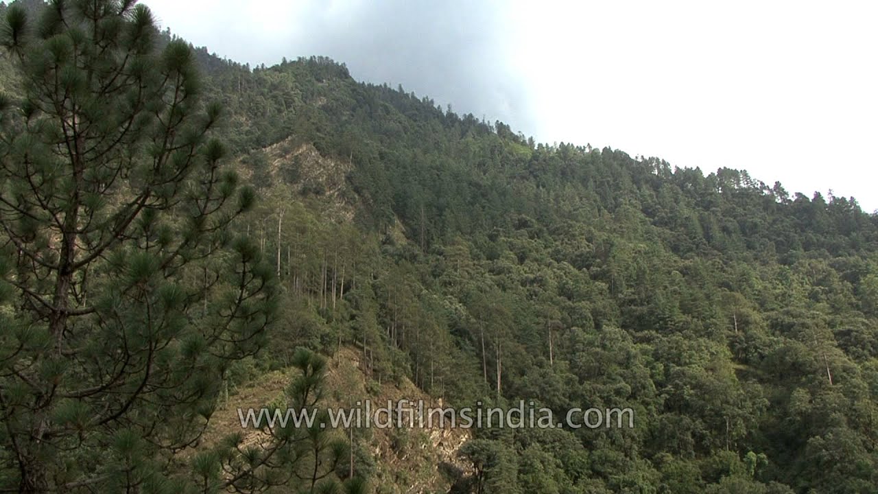
Uttarakhand has a total area of 53,484 km², of which 93% is mountainous and 65% is covered by forest. Most of the northern part of the state is covered by high Himalayan peaks and glaciers.
Your archive
Uttarakhand · 3,550 clips · page 153 of 155
forest · hills
Uttarakhand has a total area of 53,484 km², of which 93% is mountainous and 65% is covered by forest. Most of the northern part of the state is covered by high Himalayan peaks and glaciers.
temple · festival
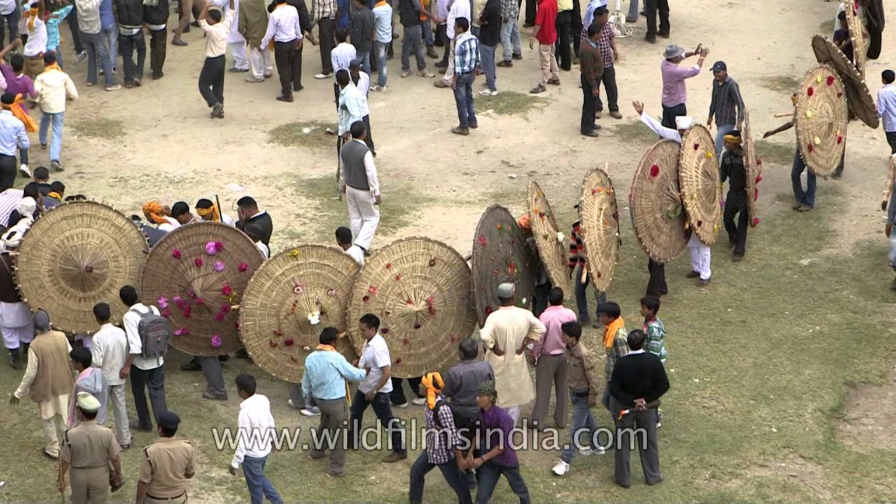
Uttarakhand, the land known for its sanctity and religious fervor, is a cauldron of religious festivity.

Yoga session at a spa resort in the Himalaya.

Hot sulphur water spring at Tapovan, en route Nanda Devi, beyond Auli and Joshimath, in Uttarakhand. One can see Lata Kharak's peak in the backdrop, above Tapoban village.

forest · coastline
Chopta is a village located in Uttarakhand state, India and a base for trekking to Tungnath, third temple of Panch Kedar which is at a distance of 3.5 km.

farmland · hills
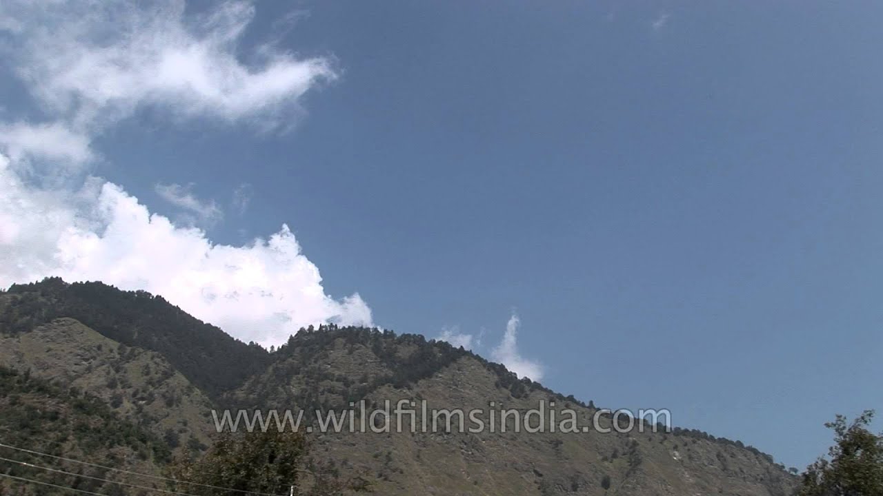
An Indian woman reaps her wheat crop in Uttarakhand. Uttarakhand consists of hilly tracts as well as tarai areas where wheat is an important crop during rabi.

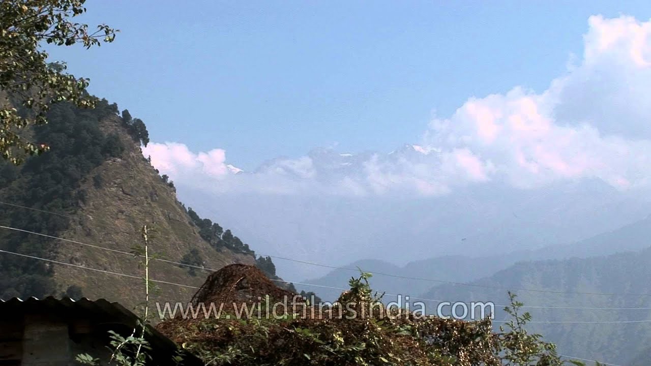
Sunset through Cheer Pines trees and over clouds, in Uttarakhand.

temple · river
Lohaghat is a town and a nagar panchayat in Champawat district in the Indian state of Uttarakhand. This is a hill station with many tourist spots around.

hills · coastline
Abbott Mount is one of the highest habitable point in the Upper Kumaon hill ranges in Uttarakhand. Abbott Mount is located at a height of 7,000 ft above sea level, 435km from Delhi and 9 km from Lohaghat.
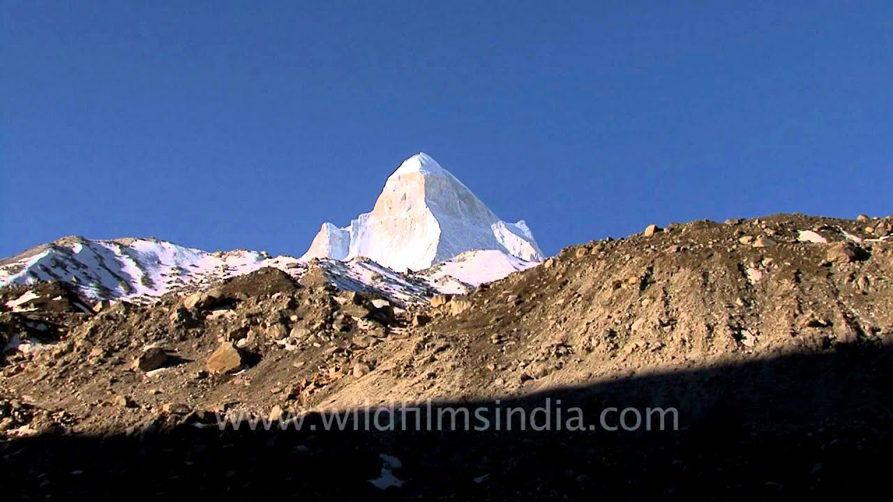
Time lapse over the peak of Shivling above Goumukh / Gomukh and below the Gangotri glacier in Garhwal, Uttarakhand, source of the Ganges / Ganga river.

livestock
This clip shows a time-lapse of clouds with Bistorta flowers in a monsoon meadow below Lamkhaga pass above Harsil in Uttarakhand, India. A Garhwali shepherd is shearing wool from the sheep at the end of the monsoons.

temple · festival
Uttarakhand, the land known for its sanctity and religious fervor, is a cauldron of religious festivity.
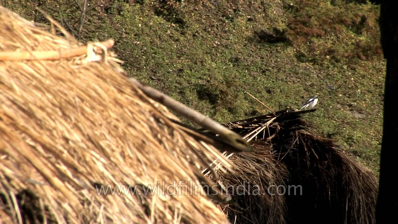

Travel to the Himalayan village of Lakhat near Chausar in Uttaranchal in North India. Images of the picturesque landscapes of the lower Himalayas with a cover of mist amongst the evergreen conifer trees and grassy slopes along the hillsides…

festival
Kumbh Mela is a unique festival that is held in the holy town of Haridwar in Uttaranchal. It is the largest concentration of religious gathering in the world. Held once in 12 years this festival is a must visit during a trip to India.

ceremony · temple
Travel to the Himalayan village of Lakhat near Chausar in Uttaranchal in North India. Images of the picturesque landscapes of the lower Himalayas with a cover of mist amongst the evergreen conifer trees and grassy slopes along the hillsides…

Heracleum species - nepalense, pinnatum or wallichii, in the Valley of Flowers, Uttarakhand, India.

hills · flowers
Valley of Flowers National Park is an Indian national park, is renowned for its meadows of endemic alpine flowers and outstanding natural beauty. It is located in Uttarakhand state.

wildlife · forest
Elephants Mating. Rare footage from deep in the forests of Corbett National Park, Uttarakhand, India.

village
Uttarakhand officially the State of Uttarakhand, formerly known as Uttaranchal, is a state from the northern part of India. Uttarakhand State Rural Part, with population of about 70.4 lakh is India's the 10th least rural populous state.
Elsewhere in the archive