
River Mandakini flows from Kedarnath, in Uttarakhand
river · temple
Mandakini river flows from the valley of Kedarnath and the bridge that connects to Kedarnath temple, Uttarakhand. Mandakini is a tributary of the Alaknanda River.
Your archive
Uttarakhand · 3,550 clips · page 140 of 155
river · temple
Mandakini river flows from the valley of Kedarnath and the bridge that connects to Kedarnath temple, Uttarakhand. Mandakini is a tributary of the Alaknanda River.
ceremony · festival
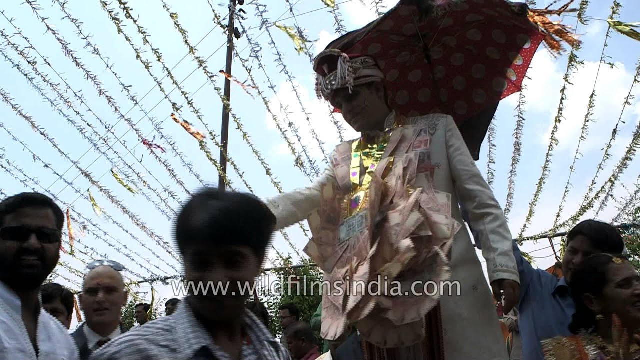
Kumaoni groom wearing sherwani and sehra readies himself for the baraat, a procession of the from and his attendants from his house to the bride's - Uttarakhand, Kumaoni weddings are very simple but are solemnized with a number of rituals a…

ceremony · festival
Relatives applying 'haldi' to the Kumaoni groom in Uttarakhand. Kumaoni weddings are very simple but are solemnized with a number of rituals and traditions.

hills · forest
White-tailed Nuthatch in Uttarakhand, India. The White-tailed Nuthatch (Sitta himalayensis) is a species of bird in the Sittidae family.

temple · architecture
Gurudwara Shri Reetha Sahib is sitauted in the Reetha Sahib Village Distt Champawat, Uttarakhand. It is 209 KM from GURUDWARA SHRI NANAKMATA SAHIB. SHRI GURU NANAK DEV JI, had visited this place.

river · temple
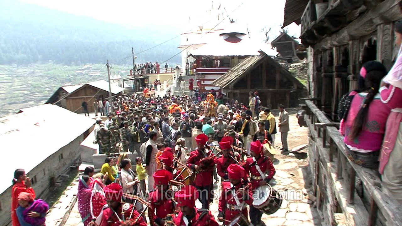
As Autumn begins in Garhwal, idol of Goddess Ganga is shifted from Gangotri temple to Mukhba and the valley is filled with peculiar sights and sounds.
temple · river
As Autumn begins in Garhwal, idol of Goddess Ganga is shifted from Gangotri temple to Mukhba and the valley is filled with peculiar sights and sounds.

river · temple
Gangotri is situated at an altitude of 3,048mts above sea level at the Uttarakashi district of Uttarakhand state. Located on the banks of the holy Bhagirathi River is one of the Char Dhams of Uttarakhand.

river · temple
Gangotri is situated at an altitude of 3,048mts above sea level at the Uttarakashi district of Uttarakhand state. Located on the banks of the holy Bhagirathi River is one of the Char Dhams of Uttarakhand.

temple · river
An old woman in Garhwal walks down to the courtyard in front of Gangotri temple, and sits with her village women friends.
monsoon
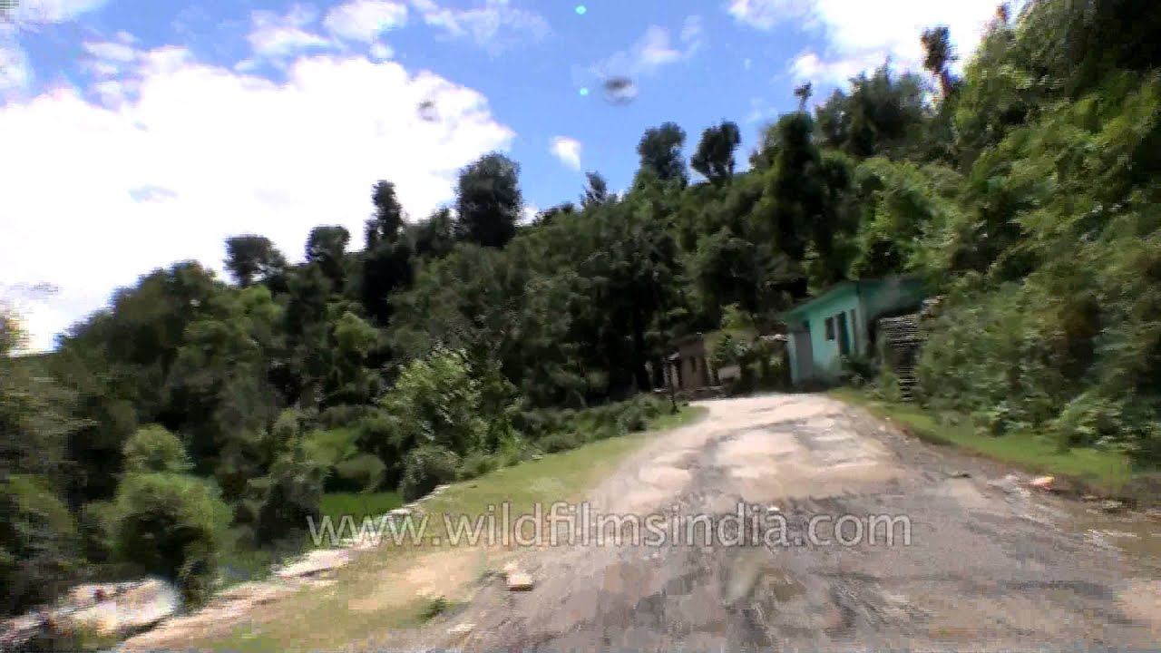
Heavy rainfall and flood on July 16 and 17 resulted in floods that damaged National highway Roads and houses in the Uttarakhand.

monsoon · highway
Heavy rainfall and flood on July 16 and 17 resulted in floods that damaged National highway Roads and houses in the Uttarakhand.
monsoon
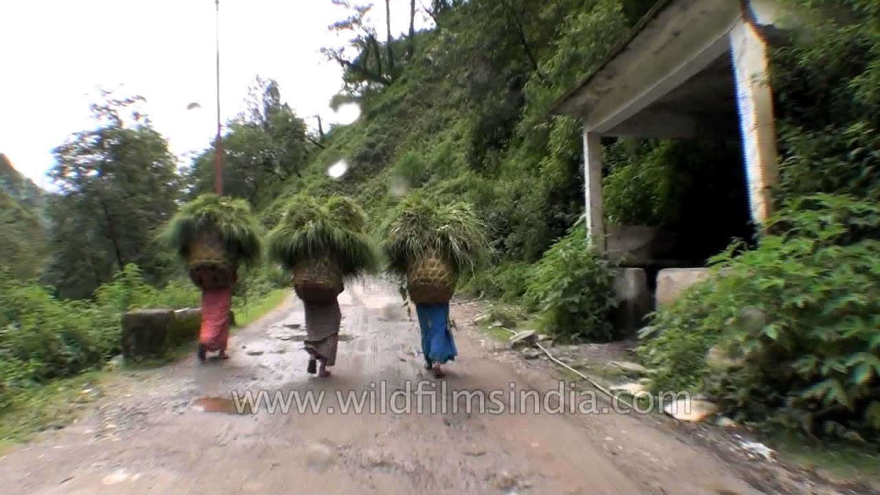
Heavy rainfall and flood on July 16 and 17 resulted in floods that damaged National highway Roads and houses in the Uttarakhand.

monsoon
Heavy rainfall and flood on July 16 and 17 resulted in floods that damaged houses and roads in the Uttarakhand. It was the biggest aerial evacuation ever in man's history.
monsoon
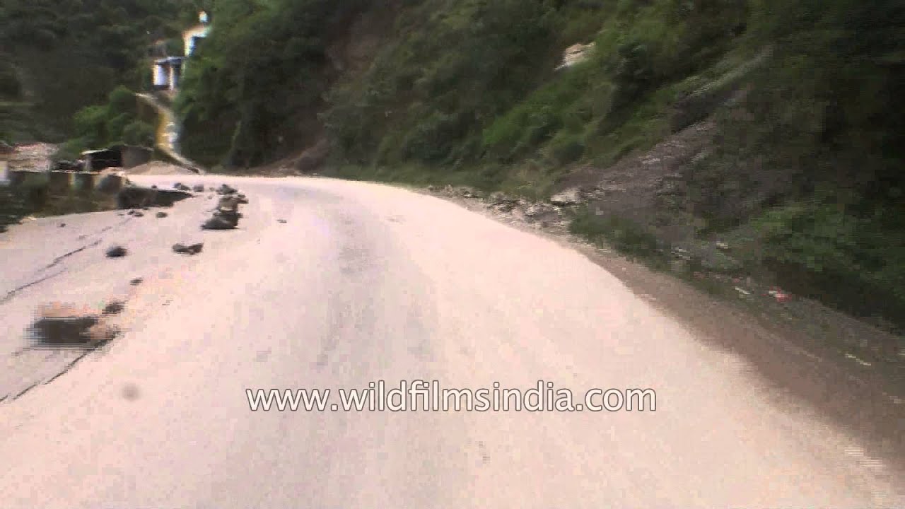
On the way to Silli from Rudraprayag. Heavy rainfall and flood on July 16 and 17 resulted in floods that damaged National highway Roads and houses in the Uttarakhand.

Uttarakhand·river
Ramganga West River originates from Doodhatoli ranges in the district of Pauri Garhwal, Uttarakhand state of India. The Ramganga River flows to south west from Kumaun Himalaya.

hills · flowers
Moving clouds over Valley of flowers. Valley of Flowers National Park is an Indian national park located in Uttarakhand state. Valley was declared a national park in 1982, and now it is a World Heritage Site.

hills
A stag beetle (family Lucanidae) on a plant stem in Uttarakhand, India. Stag beetles belong to the family Lucanidae, known for enlarged mandibles in males that are used in competition.

We filmed these freshly born / hatched glow worms hatching from their pupae / the pupa, at the Wilderness Orchard and botanical gardens in Uttarakhand, India. Just like fireflies, they glow in the dark.

hills · river
Mussoorie is located at about 36 km from Dehradun. Mussoorie is a hill station in Uttarakhand and is well-connected to Dehradun by roadways. However, the best way to travel from Dehradun to Mussoorie is by car, a journey of over an hour.

Uttarakhand·industry
Tehri Dam Construction in Uttaranchal or as it is now called Uttarakhand. Old Tehri town was submerged in the process, leaving behind a ghost town. The old clock tower stands in mute testimony to the changing times...

monsoon
The Ganga looks shallow and wide after it has almost changed course in areas, a month of the floods that destroyed many villages in Uttarakhand. This is Uttarkashi town of Garhwal.

monsoon
Heavy rainfall and flood on July 16 and 17 resulted in floods that damaged National highway No. 58 in the Uttarakhand.
Elsewhere in the archive