
Bhishma tanks roll down the Rajpath during the Republic Day parade, 2018, in Ladakh
The first contingent of Rajputana Rifles goes past the saluting base carrying the ASEAN and ten ASEAN country's flags.
Your archive
Ladakh · 1,281 clips · page 12 of 56
The first contingent of Rajputana Rifles goes past the saluting base carrying the ASEAN and ten ASEAN country's flags.

hills · wildlife
A small herd of kiang, also known as Tibetan wild asses, moves across the rugged mountain slopes of Ladakh, India. The animals are seen along a steep, rocky hillside surrounded by the region's high-altitude cold desert terrain.
aerial · river
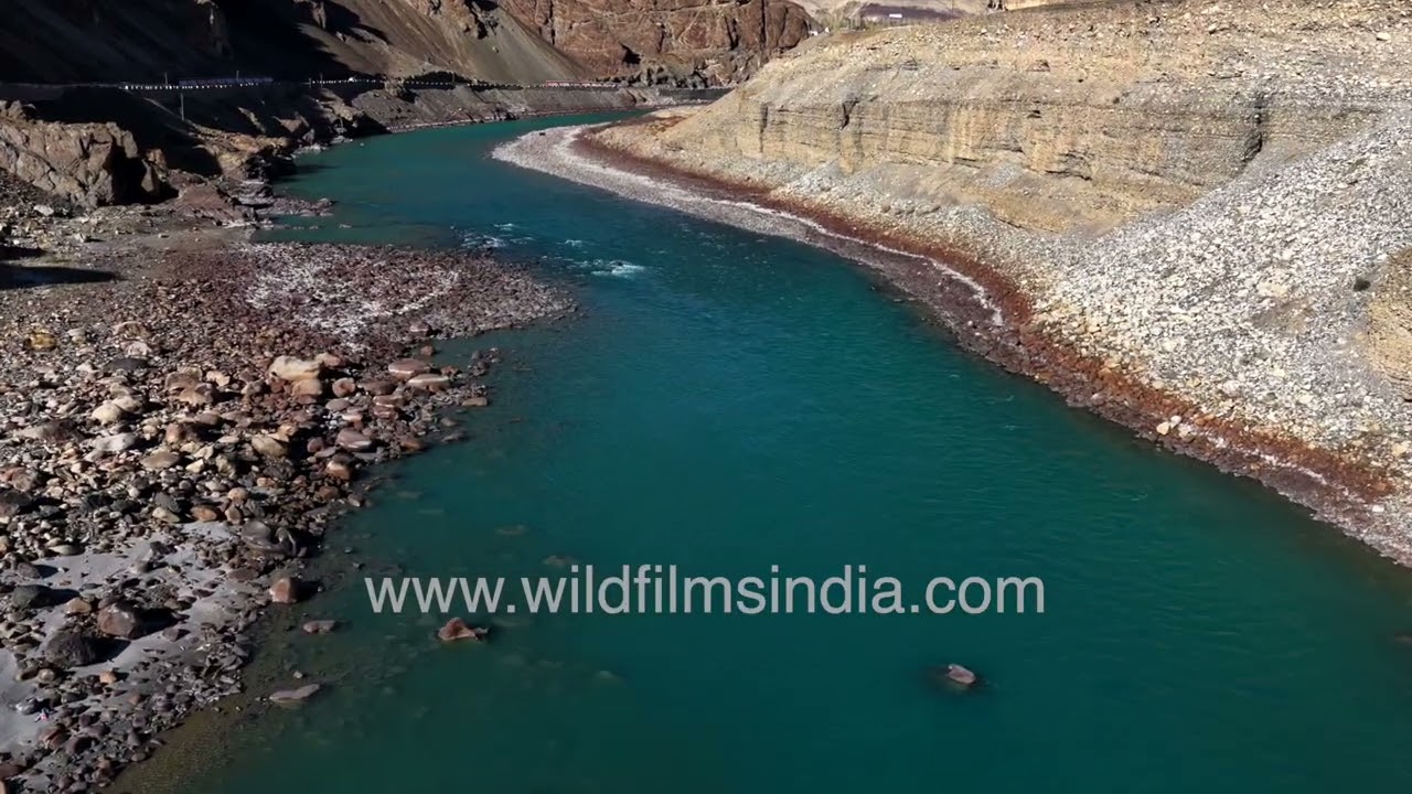
Experience a breathtaking drone view of the aquamarine Indus River as it winds through the dramatic landscapes near Lamayuru Monastery in Ladakh, India.

aerial · highway
High-altitude terrain near Hanle in the Changthang region of the Indian Himalayas. Vast and isolated landscapes of Hanle Road in Ladakh, where long stretches of mountain highway pass through barren high-altitude plains surrounded by rugged…
highway · hills
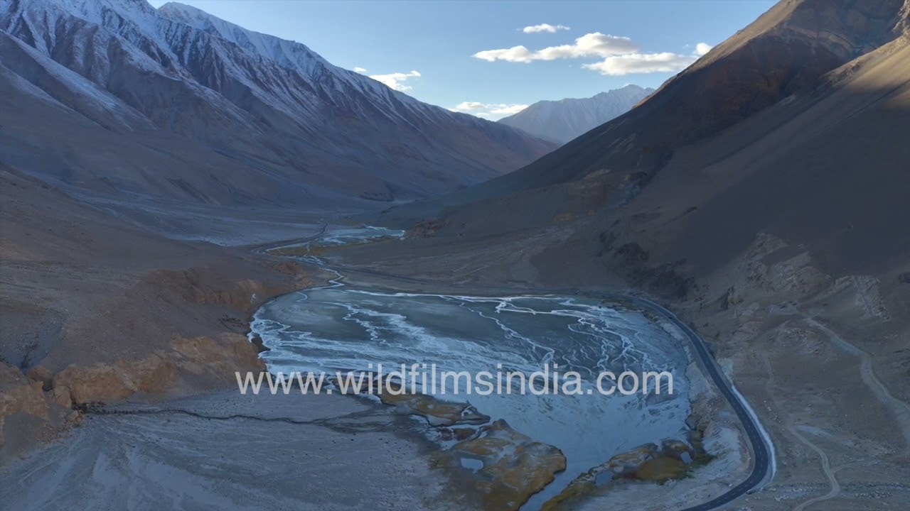
The Pangong Lake Road in Ladakh, India, shows a high-altitude cold desert environment. The foreground features marshy plains with silver-blue water channels formed by glacial melt, creating wetland pockets within the arid terrain.

Among the Hanle plains and marshes which are the breeding grounds of the Black-necked Crane, and overlooking the Hanle Observatory stands the Hanle Gompa which is more a fort than a monastery. Note Hanle is fortified.

highway
Distance between Pang and Upshi is 125 Kms. The road from Pang will take you to the famous Moore Plains; situated in a plateau, you will be hard-pressed to believe this relatively flat piece of land is located at an altitude of 15,400ft.

highway
Distance between Pang and Upshi is 125 Kms. The road from Pang will take you to the famous Moore Plains; situated in a plateau, you will be hard-pressed to believe this relatively flat piece of land is located at an altitude of 15,400ft.
highway
Distance between Pang and Upshi is 125 Kms. The road from Pang will take you to the famous Moore Plains; situated in a plateau, you will be hard-pressed to believe this relatively flat piece of land is located at an altitude of 15,400ft.

highway
Distance between Pang and Upshi is 125 Kms. The road from Pang will take you to the famous Moore Plains; situated in a plateau, you will be hard-pressed to believe this relatively flat piece of land is located at an altitude of 15,400ft.

highway
Distance between Pang and Upshi is 125 Kms. The road from Pang will take you to the famous Moore Plains; situated in a plateau, you will be hard-pressed to believe this relatively flat piece of land is located at an altitude of 15,400ft.

snow · hills
The team hiking and taking regular breaks and soaking the beauty and serenity of the valley. The snow covered terrain calls for occasional breaks and acclimatisation to the snow caped summits.

livestock
A cute cow and a ram with a huge head keep each other company in a Ladakh village in India. The cold makes the sheep better adapted with its thick coat.
festival · hills
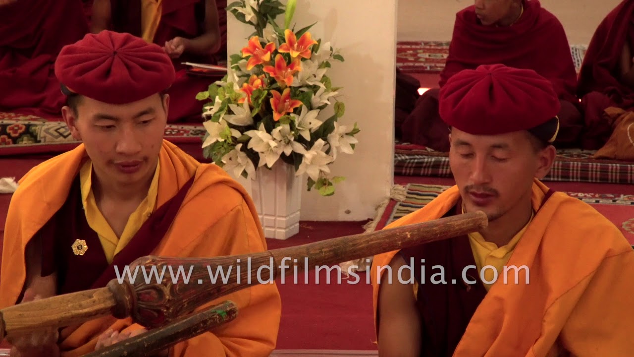
Hemis is an idyllic village in Ladakh, in Northern India . The town is just over 40 km southeast of the town of Leh. Hemis is home to the Hemis Gompa a pre- 11th century monastery that was re-established in 1672.

river
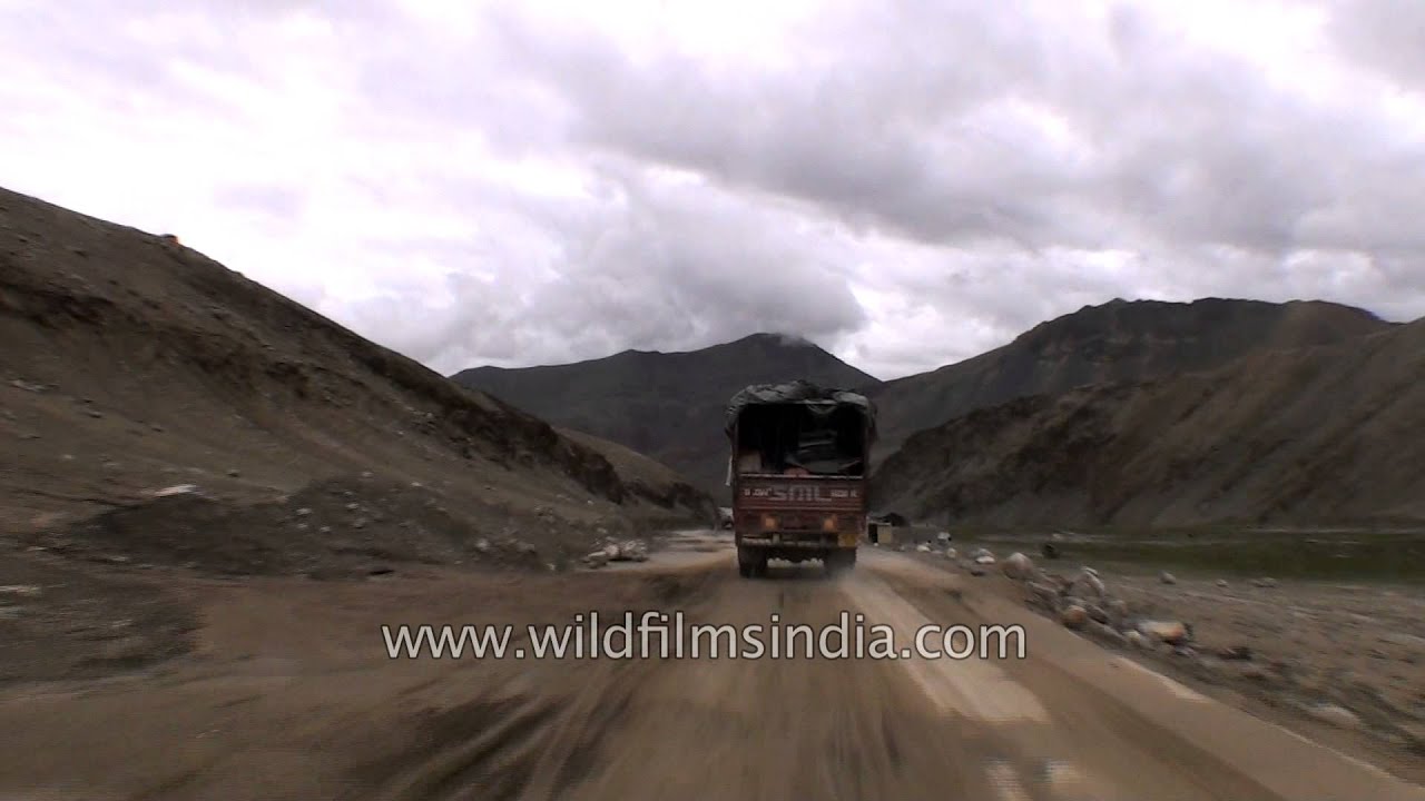
Indian Army trucks passing through Chang La pass in Ladakh. The Chang La is a high mountain pass in Ladakh, India. It is the third highest motorable road in the world. The Chang La is on the route to Pangong Lake from Leh.

snow · hills
A group of naturalists sip their tea as they search for Snow Leopard in the barren mountains of Ladakh. The snow leopard is a large cat native to the mountain ranges of Central and South Asia.

village · river
Clear view of Stakana Monastery can be seen on the way to Leh from Upshi village. Nominal traffic is on Leh - Upshi road. The Stakna monastery lies at a distance of 25 Kms from Leh on the left bank of the river Indus.

village
Kyigu Drak Gonpa is a small monastery in Ladakh and not one of the better known ones, either. This Ladakh monastery is precariously perched atop a series of rock pillars in an old village in India.

hills · river
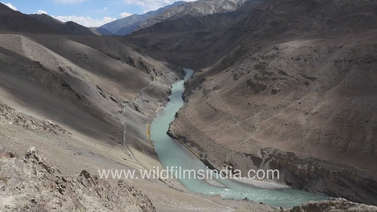
Zanskar river originates from the Himalayas, meets Indus river which originates from China and flows into Pakistan. Near Nimmu or Nimo in Ladakh is the point where the confluence between Zanskar and Indus rivers happens.

hills · village
An aerial view of the high-altitude landscape surrounding Rongo Village in the Changthang region of Ladakh, India. Vast cold desert plains stretch across the terrain, intersected by a long road and a meandering river system.
hills · river
wildfilmsindia visited the Zanskar and Indus river confluence in Ladakh, at Saspul - Nimmu sangam, in October 2022, and found this brilliant blue river confluence.
river · aerial
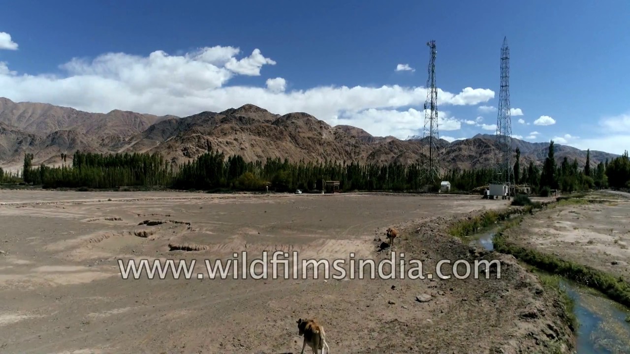
Aerial view of the dry desert of Ladakh and the patches of farms along and around the river Indus.

festival
Phyang Monastery, Phyang (or Phiyang) Gompa is a Buddhist monastery located in Fiang village, just 15 or 16 kilometres west of Leh in Ladakh, northern India. It was established in 1515.
Elsewhere in the archive