
View of Kuari Pass - Uttarakhand
hills
View of Kuari Pass in the Indian state of Uttarakhand and one can also see the snow covered peaks of Himalayan mountain range. Uttarakhand formerly Uttaranchal, is a state in the northern part of India.
Your archive
13,676 clips · page 392 of 595
hills
View of Kuari Pass in the Indian state of Uttarakhand and one can also see the snow covered peaks of Himalayan mountain range. Uttarakhand formerly Uttaranchal, is a state in the northern part of India.

hills
The barley crops have interesting patterns run through them, as the wind caresses their stalks... Sheep pass by the trekking route into the Har-ki-dun valley, below the twin villages of Osla and Sima.

river · hills
On the trek up from Taluka and Shankri towards Osla-Sima, one follows the Tons river up-valley, into the Govind Pashu Vihar National Park, Uttarakhand.

river · hills
Village boys take off their shoes to cross river Aglar as the water increases. They are unable to stand properly in moving water. The water flows fast and it is difficult to keep balance on the rocky and uneven bottom.

river · hills
Village boys take of their shoes and starts crossing heavily flowing water of river Aglar. They are unable to stand properly in moving water. The water flows fast and it is difficult to keep balance on the rocky and uneven bottom.

festival · village
Villagers walking down the hills to take part and witness in Maund Mela or fish killing festival which take place every year at Aglar river in Garhwal region of Uttarakhand, India.

hills
The Garhwal Himalayas are mountain ranges located in the state of Uttarakhand, India. The mountain ranges comprise two regions: Garhwal division and Kumaon division.

hills
The Garhwal Himalayas are mountain ranges located in the state of Uttarakhand, India. The mountain ranges comprise two regions: Garhwal division and Kumaon division.

hills · dance
View of Bhubaneswar city as seen from the top of Khandagiri hills in Odisha, India. Just 7 kms west of Bhubaneswar are the twin hills of Khandagiri and Udaygiri, the next major Odishan historical monument after Ashoka's rock-cut edict.

river · hills
The Mahanadi is a major river in East Central India. It drains an area of around 141,600 square kilometres (54,700 sq mi) and has a total course of 858 kilometres (533 mi). The river flows through the states of Chhattisgarh and Odisha.

hills
Visitors feeding Hanuman langurs near Khandagiri, Odisha. Gray langurs or Hanuman langurs, the most widespread langurs of South Asia, are a group of Old World monkeys constituting the entirety of the genus Semnopithecus.

Uttarakhand·river · hills
In the neighbourhood of twin villages Osla - Sima along the Tons River. Supin River is in Uttarkashi District of Uttarakhand. This small river is a tributary of the Tons River. Supin River feeds the Supin Valley.

hills · forest
Herd of sheep walking down the hills of Har-ki-dun trek. The Har - Ki - Dun trek is one of the most famous treks in the Garhwal Himalayas, and is also used as an introductory trek for the first time trekker! The valley of Har-ki-Doon is lo…

hills · forest
An old lady gets up into the high mountains of Garhwal on a mule. One can see the Deusu buggyal or meadow on the other side of the river valley of Ruinsara.

hills · forest
The Har - Ki - Dun trek is one of the most famous treks in the Garhwal Himalayas, and is also used as an introductory trek for the first time trekker! The valley of Har-ki-Doon is located at the base of Fateh Parvat, at an elevation of 355…

river · hills
Agricultural land in the middle of the river, smoke coming out of a chimney, greenery around the shores of the river and also kids sitting on the shores of River Mahanadi. The Mahanadi is a major river in East Central India.
Odisha·hills · river
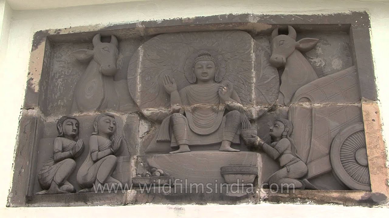
Visitors throng the Shanti Stupa at Dhauli Giri, Bhubaneswar - Odisha, statues of Lord Buddha is crafted in the entire wall of the Temple.
Odisha·hills · river
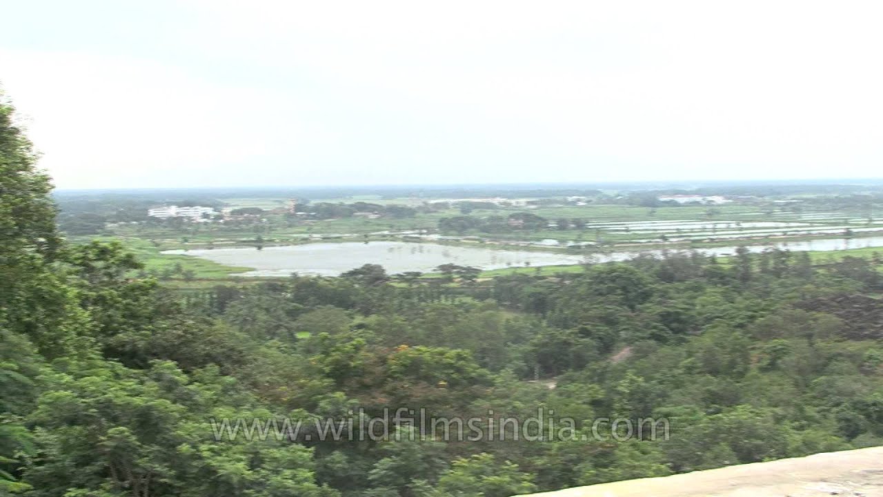
Close up shot of Shanti Stupa at Dhauli Giri, Bhubaneswar - Odisha. Panoramic view of the entire location nearby. Dhauli hills are located on the banks of the river Daya, 8 km south of Bhubaneswar in Odisha (India).

hills
View of stone carved caves of Udayagiri and Khandagiri Caves in Odisha, Inida. Udayagiri and Khandagiri Caves are partly natural and partly artificial caves of archaeological, historical and religious importance near the city of Bhubaneswar…

Madhya Pradesh·birds · river
A lone Crested Hawk Eagle sits by Ken River and drinks water from it in Panna National Park, Madhya Pradesh, India. The Changeable Hawk-Eagle or Crested Hawk-Eagle (Nisaetus cirrhatus) is a bird of prey species of the family Accipitridae.

Madhya Pradesh·birds · river
A lone Crested Hawk Eagle sits by Ken River and drinks water from it in Panna National Park, Madhya Pradesh, India. The Changeable Hawk-Eagle or Crested Hawk-Eagle (Nisaetus cirrhatus) is a bird of prey species of the family Accipitridae.

hills
Dayara Bugyal is perched at an altitude of 3,048 mts above sea level offering splendid views of the Himalayan range. Bugyal in the local language means "high altitude meadow".

river · hills
The Ken River is one the major rivers of the Bundelkhand region of central India, and flows through two states, Madhya Pradesh and Uttar Pradesh. It is a tributary of the Yamuna.
Related subjects