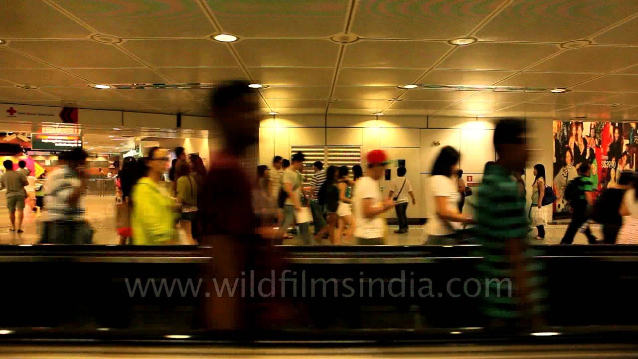
Taking the underground maze of malls from Orchard in Singapore
farmland · highway
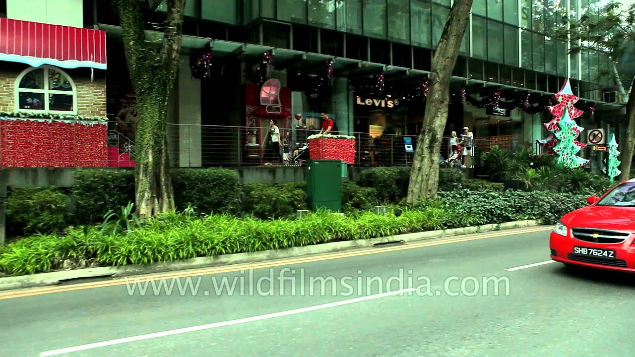
Taking the underground maze of malls from Orchard in Singapore. Orchard Road is a 2.2 kilometre-long boulevard that is the retail and entertainment hub of Singapore.
Your archive
7,576 clips · page 319 of 330
farmland · highway
Taking the underground maze of malls from Orchard in Singapore. Orchard Road is a 2.2 kilometre-long boulevard that is the retail and entertainment hub of Singapore.
river · coastline
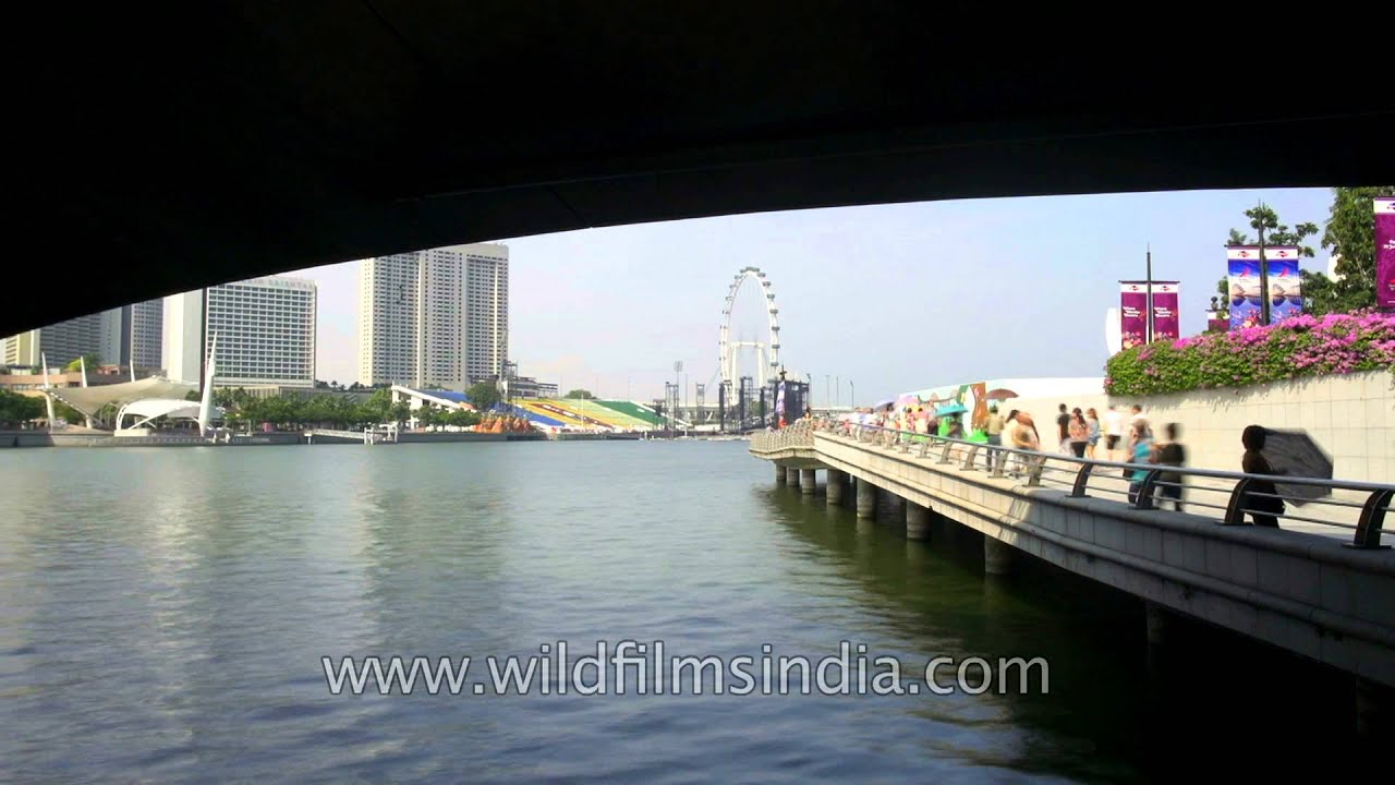
The Singapore River is a river in Singapore that flows from the Central Area, which lies in the Central Region in the southern part of Singapore before emptying into the ocean.

highway · architecture
The Esplanade Bridge is a 260 metre-long (850 ft.) road bridge that spans across the mouth of the Singapore River in Singapore with the Esplanade - Theatres on the Bay on its northern abutment and the Merlion on the southern.

farmland · highway
People in large numbers walk underground in Singapore below Orchard road. Orchard MRT Station (NS22/TE14) is located on the North South Line of the Mass Rapid Transit and is located along Orchard Road, Singapore.

coastline · highway
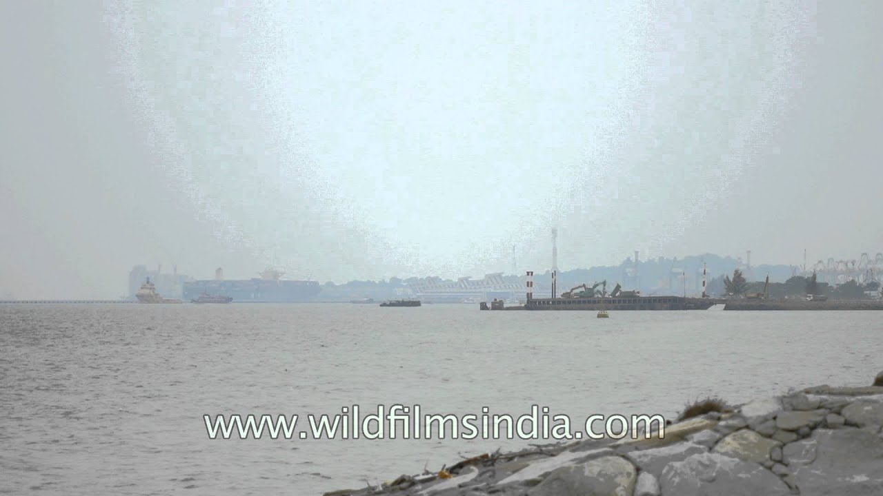
The East Coast Park is a beach park located on the southeastern coast of Singapore. It was opened in the 1970s, when the government completed reclaiming land off the coast at Katong which extends from Changi to Tanjong Rhu.
coastline · highway
The East Coast Park is a beach park located on the southeastern coast of Singapore. It was opened in the 1970s, when the government completed reclaiming land off the coast at Katong which extends from Changi to Tanjong Rhu.
coastline · highway
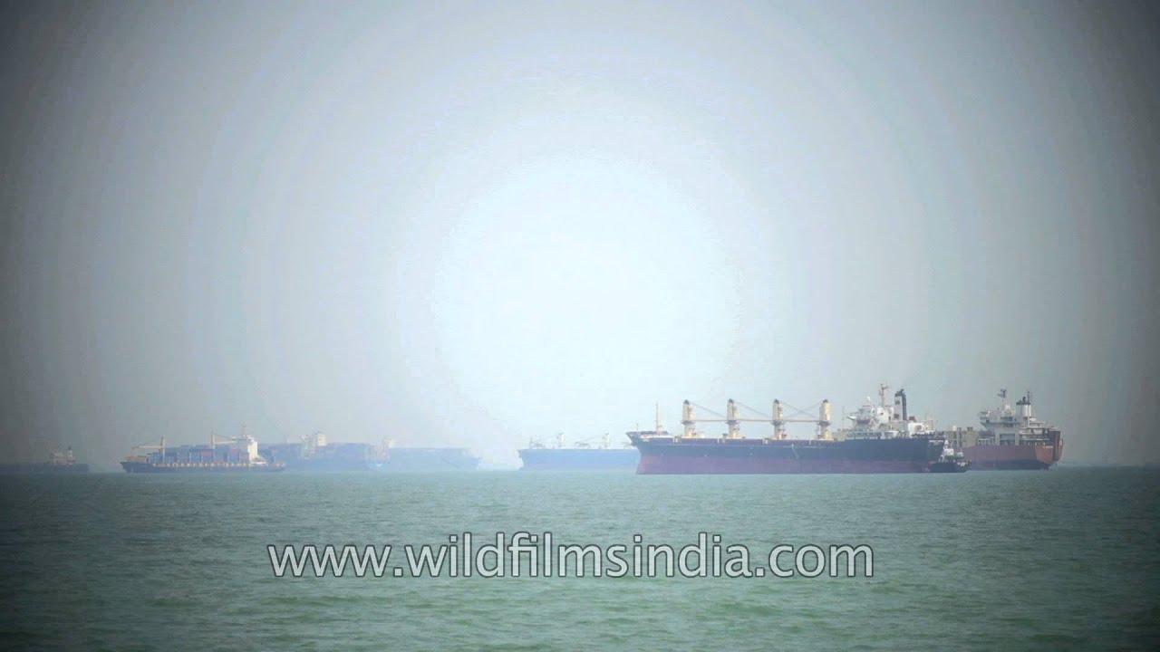
The East Coast Park is a beach park located on the southeastern coast of Singapore. It was opened in the 1970s, when the government completed reclaiming land off the coast at Katong which extends from Changi to Tanjong Rhu.
farmland · highway
Orchard Road had its humble origins as an unnamed country road lined with fruit orchards, nutmeg plantations, and pepper farms in the early 1830s.

highway
Life is lived in multiple layers in the sky, in Singapore city! See green roof-top vegetable and flower gardens, swimming pools, terraces in downtown Singapore, as seen from the Grand Hyatt on 10 Scotts Road.

river · highway
A fresh gushing waterfall can be seen as one travels towards Nyalam in Tibet from Nepal. Nyalam is a small Tibetan town near the Nepal border.
highway · architecture
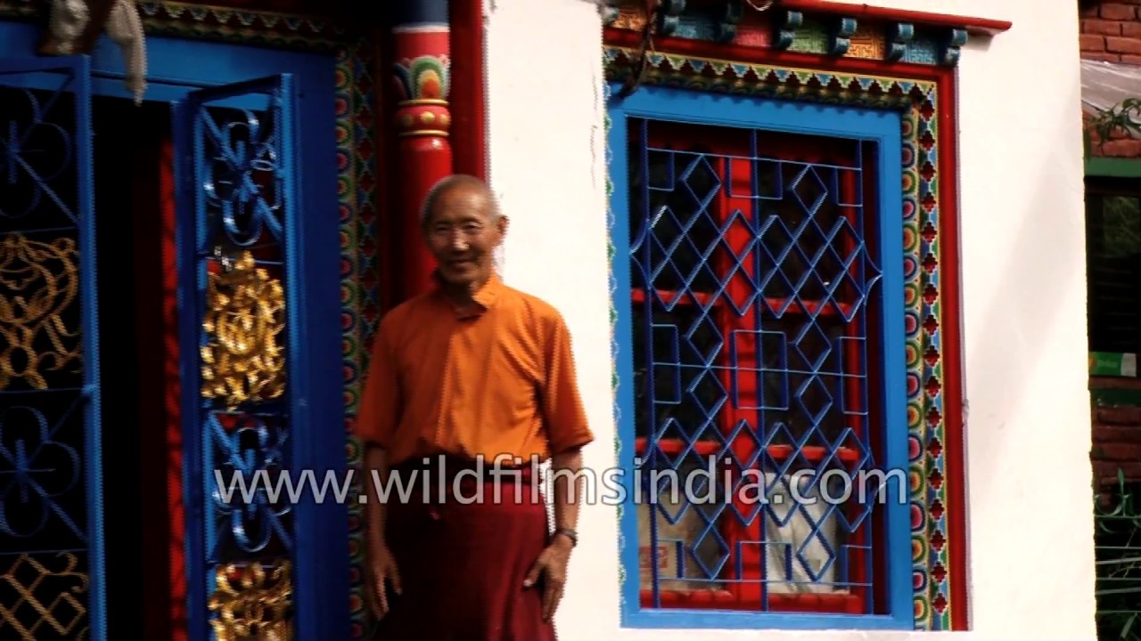
Tibetan monks visit a monastery at Nyalam. The monastery is decorated with colourful prayer flags. Nyalam is a small Tibetan town near the Nepal border.

highway · architecture
Driving on uneven roads of Nyalam town towards cornfield in Tibet. Nyalam is a small Tibetan town near the Nepal border.

highway
A convoy of cars driving through the Tibetan plateau on a smooth tarmac road to Saga county, Xigazê.

highway · river
Driving towards Kyakyaru on a rainy day. Saga or Kyakyaru is a town and township and seat of Saga County in Shigatse Prefecture in southern Tibet.

highway · hills
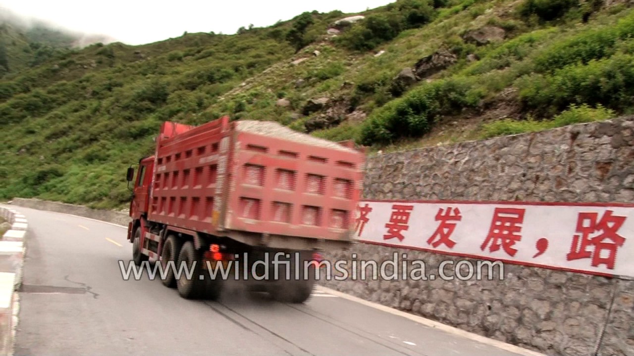
Chinese jugaad type tractors race each other laden with Tibetan travellers, heading to the Nepal Kodari border, in a monsoon trans-Himalayan rainfall system.
highway · river
Rainy drive view towards Mansarovar from Nyalam in Tibet. The Nyalam to Mansarovar highway, there is beautiful green view along the road side and one can also see check dam along the roadside.
highway
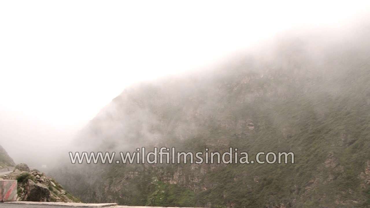
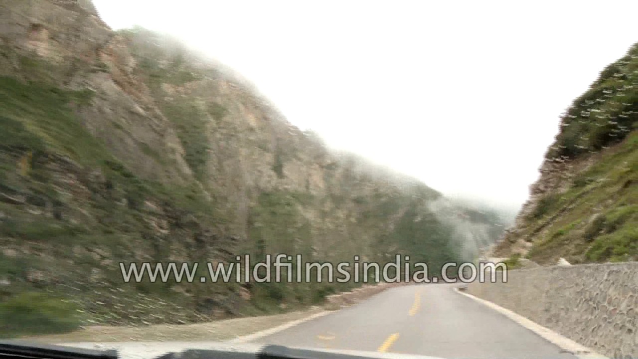
A slow drive on National Highway number 318. Nyalam County is a county in Tibet's Shigatse Prefecture. It borders on Nepal. Nyalam County is the perfect destination for nature lovers. Thick clouda covering the mountain can be seen.
highway
A slow drive on National Highway number 318. Nyalam County is a county in Tibet's Shigatse Prefecture. It borders on Nepal. Nyalam County is the perfect destination for nature lovers. It lies on National Highway 318.

river · highway
A view of Nyalam to Saga road. Clear blue sky, lush green mountains and a lake can be seen in the clip. Nyalam is a small Tibetan town near the Nepal border. It is the county seat of Nyalam County in Shigatse Prefecture.

river · highway
A drive from Nyalam to Saga. One can see the valleys, wide open spaces. A view of Nyalam to Saga road. Clear blue sky, mountains and a lake can be seen in the clip. Nyalam is a small Tibetan town near the Nepal border.

highway · river
View of the main local town of Saga. Lakes, wide open spaces, clouds, trucks, and locals walking down the road can be seen in the clip. Most of the houses are painted with bright colors like neon, blue, orange, green and yellow.

highway
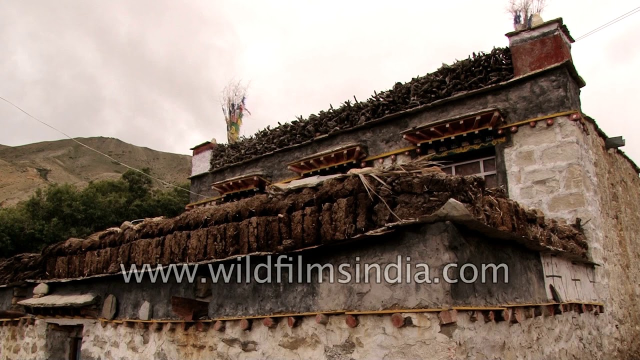
Driving through Tibet in 1970's Land Cruiser one can also see the lifestyles, culture, landscapes of Saga. With just one main road to pass, houses so closely attached to the road, one can see all the travellers on the road.
highway
A view of barren mountains in Zhangmu en route Mansarovar in Tibet autonomous region of China. A board on the road reads Milaraba Buddhist practice cave. One can see the Milaraba cave across the road.
Related subjects