
Aerial view of the sprawling expanse of Delhi NCR metropolis
highway · aerial
Aerial view of Dwarka as seen from a flight heading towards Indira Gandhi Airport, New Delhi. Buildings of Dwarka can be seen clearly from flight.
Your archive
2,307 clips · page 52 of 101
highway · aerial
Aerial view of Dwarka as seen from a flight heading towards Indira Gandhi Airport, New Delhi. Buildings of Dwarka can be seen clearly from flight.

highway · aerial
A beautiful aerial shot of Delhi city taken from an aeroplane at night. The flight lands at the Indira Gandhi International Airport, New Delhi...

Assam·aerial
Aerial view of Delhi NCR as seen from a flight heading towards Indira Gandhi Airport in Delhi from Lokpriya Gopinath Bordoloi International Airport in Guwahati, Assam.

aerial
Aerial view of illuminated IGI Airport and Delhi city at night. Indira Gandhi International Airport is the primary international airport of the National Capital Region of Delhi, India, situated in Palam, 15 km (9.3 mi) south-west of the New…

aerial
Flights from Leh to Delhi pass over Haryana on their descent towards the Delhi Airport. One gets nice aerial views of the fields and rivers of Haryana.

aerial
An aerial view of Connaught Place / Circus, the inner and outer circles, the new Metro stop within, and the roads leading into and out of the maelstrom.
Haryana·aerial
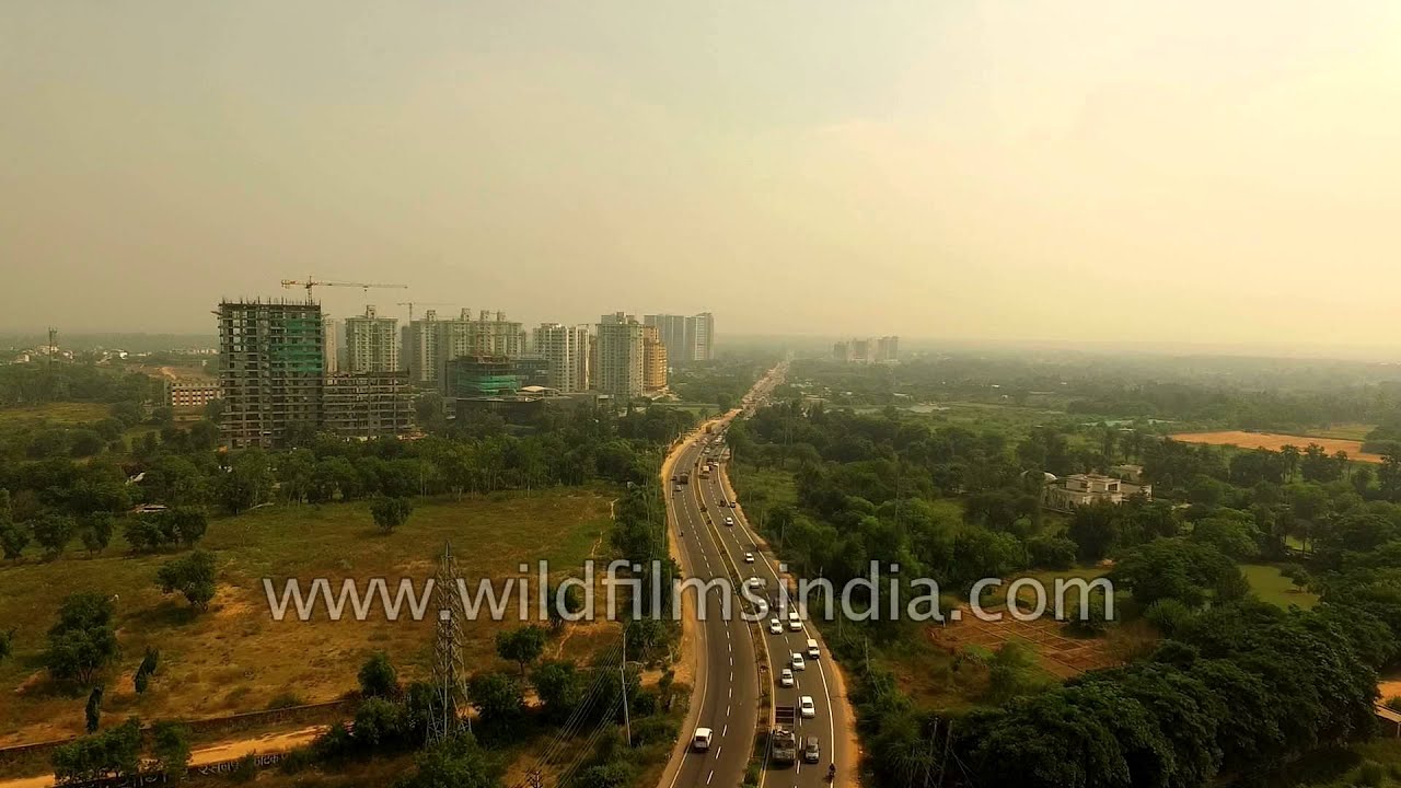
Aerial journey from South Delhi to Gurgaon. Gurgaon is a city in the Indian state of Haryana located immediately south of the National Capital Territory of Delhi, 32 kilometres southwest of New Delhi.

aerial · industry
This aerial view of the Okhla industrial Area in New Delhi is a picture of change and transition.
Haryana·aerial
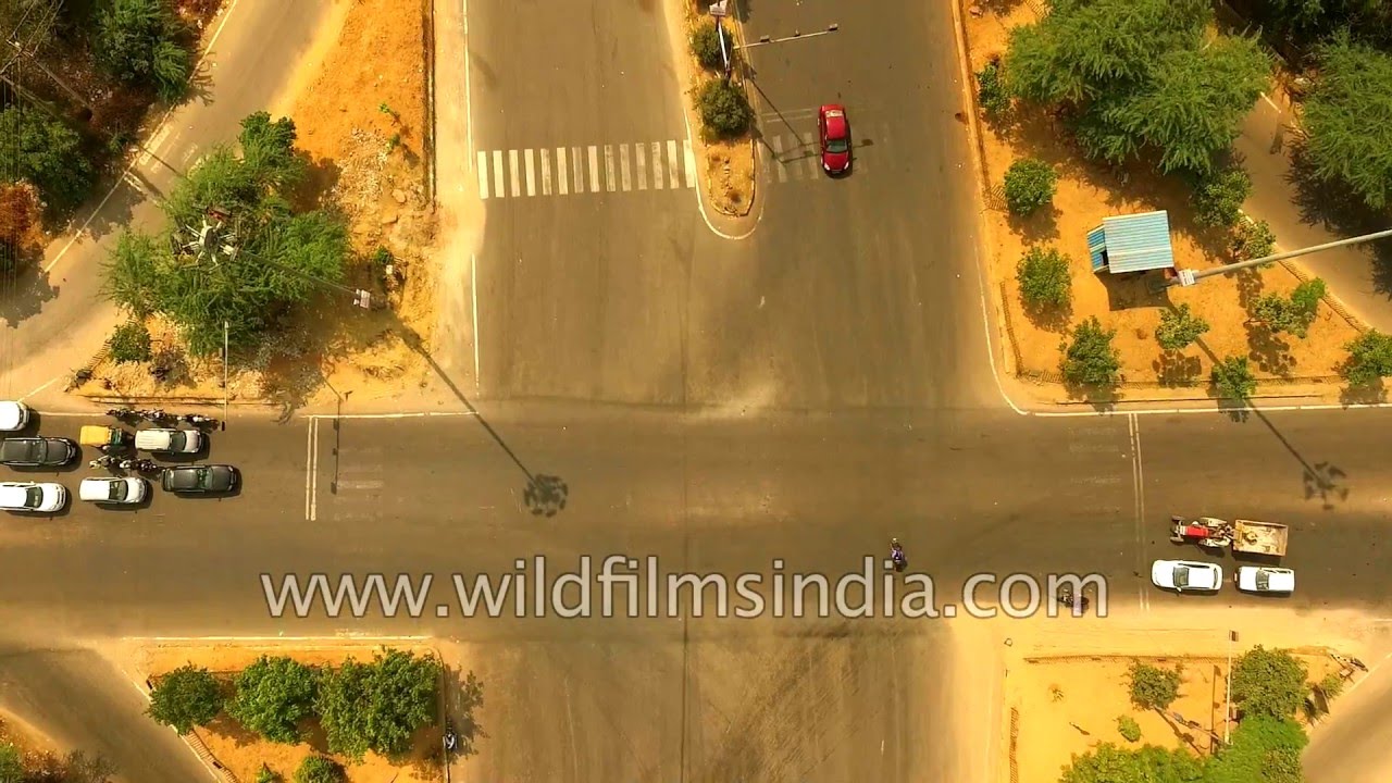
Aerial journey from South Delhi to Gurgaon. Gurgaon is a city in the Indian state of Haryana located immediately south of the National Capital Territory of Delhi, 32 kilometres southwest of New Delhi.

aerial
One can see Bird's eye view of Delhi city, shoot from the window of a plane.
aerial · highway
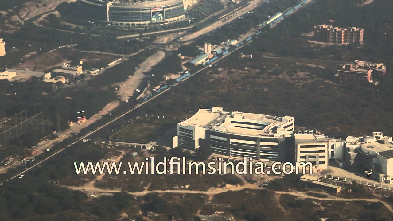
An aerial view of Delhi's urban sprawl. View of Faridabad, Tughlakabad, Saket, Devli village and Khanpur are clearly visible from the air.
Haryana·aerial
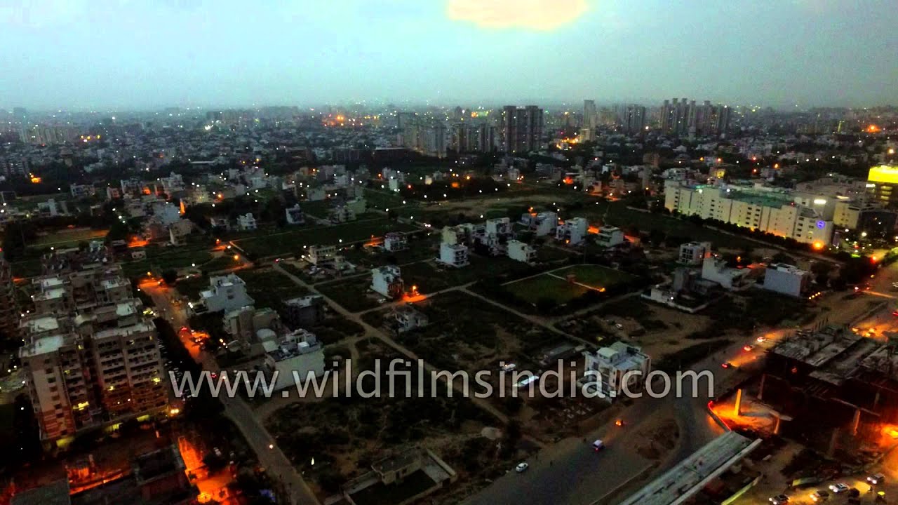
Flying over Gurgaon from South Delhi. Gurgaon is a city in the Indian state of Haryana located immediately south of the National Capital Territory of Delhi, 32 kilometres southwest of New Delhi.
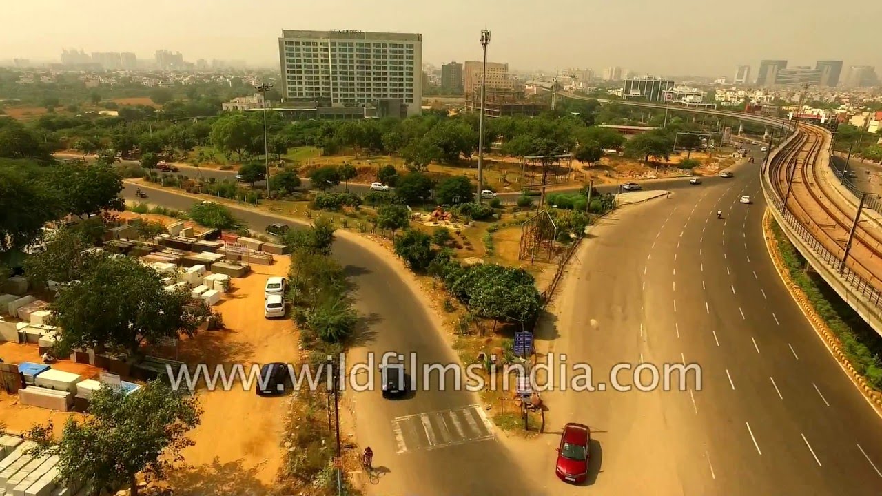
Haryana·highway · aerial
Aerial journey from Mehrauli-Gurgaon road to DLF Aralias and Ghata road. Gurgaon is a city in the Indian state of Haryana located immediately south of the National Capital Territory of Delhi, 32 kilometres southwest of New Delhi.
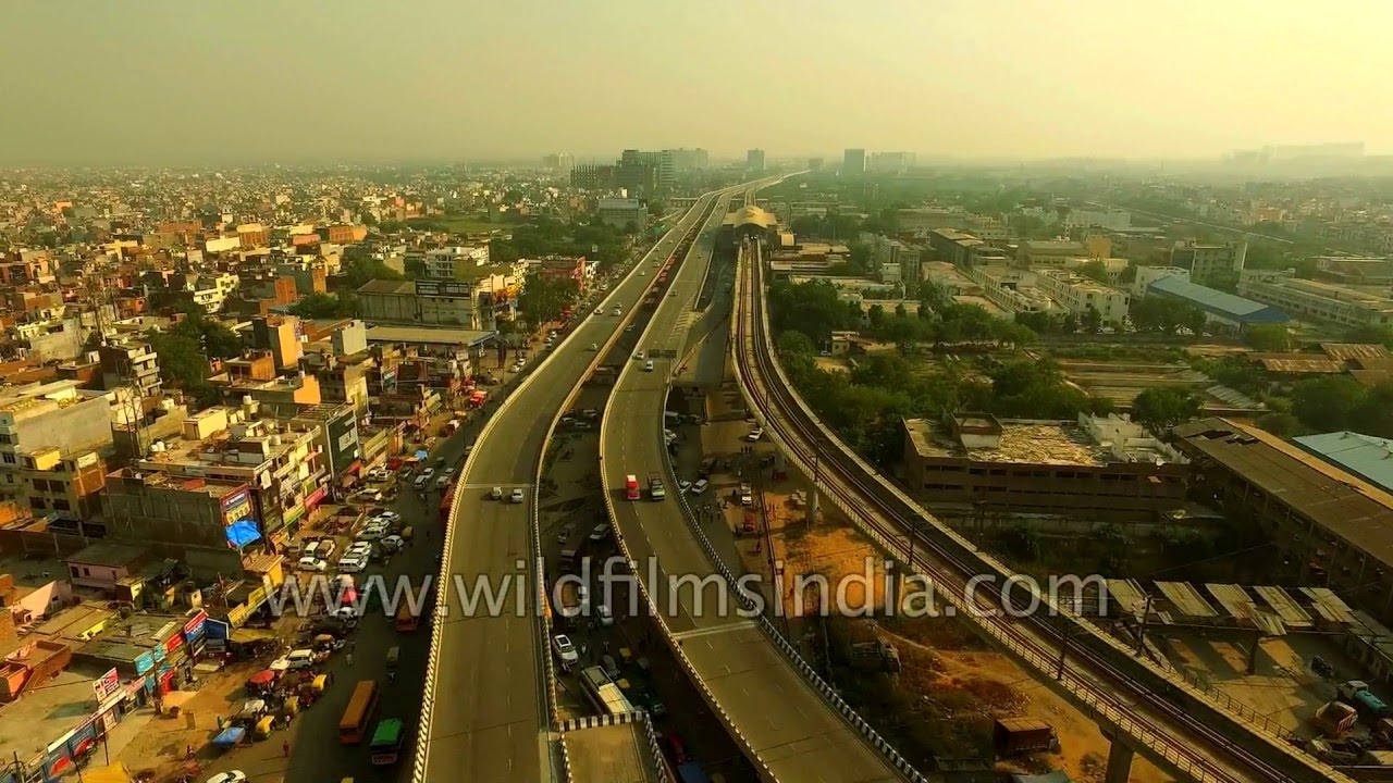
Haryana·highway · aerial
Aerial journey to Faridabad from Badarpur border via National Highway 2. It is a busy National Highway in India that runs through the states of Delhi, Haryana, Uttar Pradesh, Bihar, Jharkhand, and West Bengal.
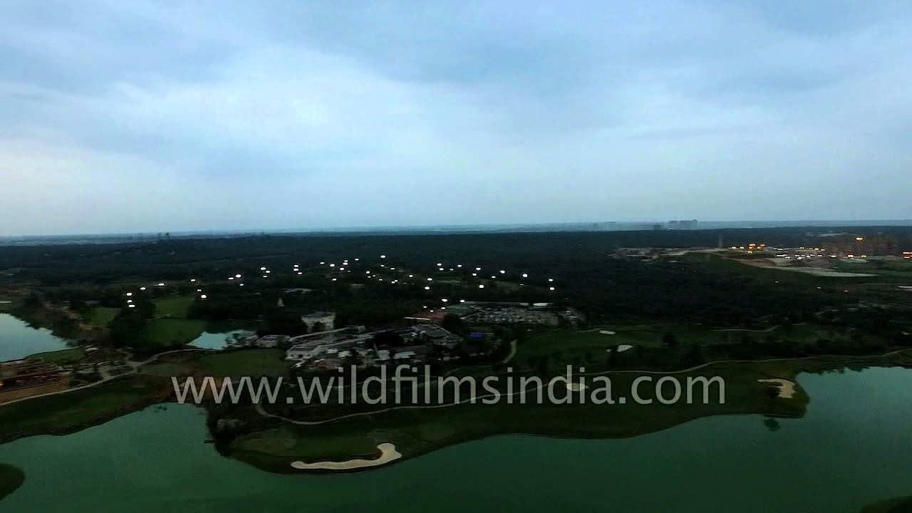
Haryana·aerial
Flying over Gurgaon from South Delhi. Gurgaon is a city in the Indian state of Haryana located immediately south of the National Capital Territory of Delhi, 32 kilometres southwest of New Delhi.
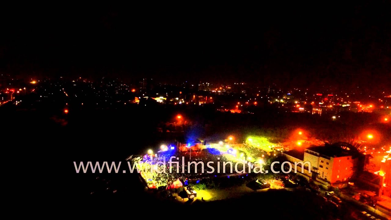
Haryana·aerial
Flying over Gurgaon from South Delhi. Gurgaon is a city in the Indian state of Haryana located immediately south of the National Capital Territory of Delhi, 32 kilometres southwest of New Delhi.

aerial
Aerial view of illuminated high rise buildings of Gurgaon. Gurgaon is a city in the Indian state of Haryana located immediately south of the National Capital Territory of Delhi, 32 kilometres southwest of New Delhi.
Haryana·aerial
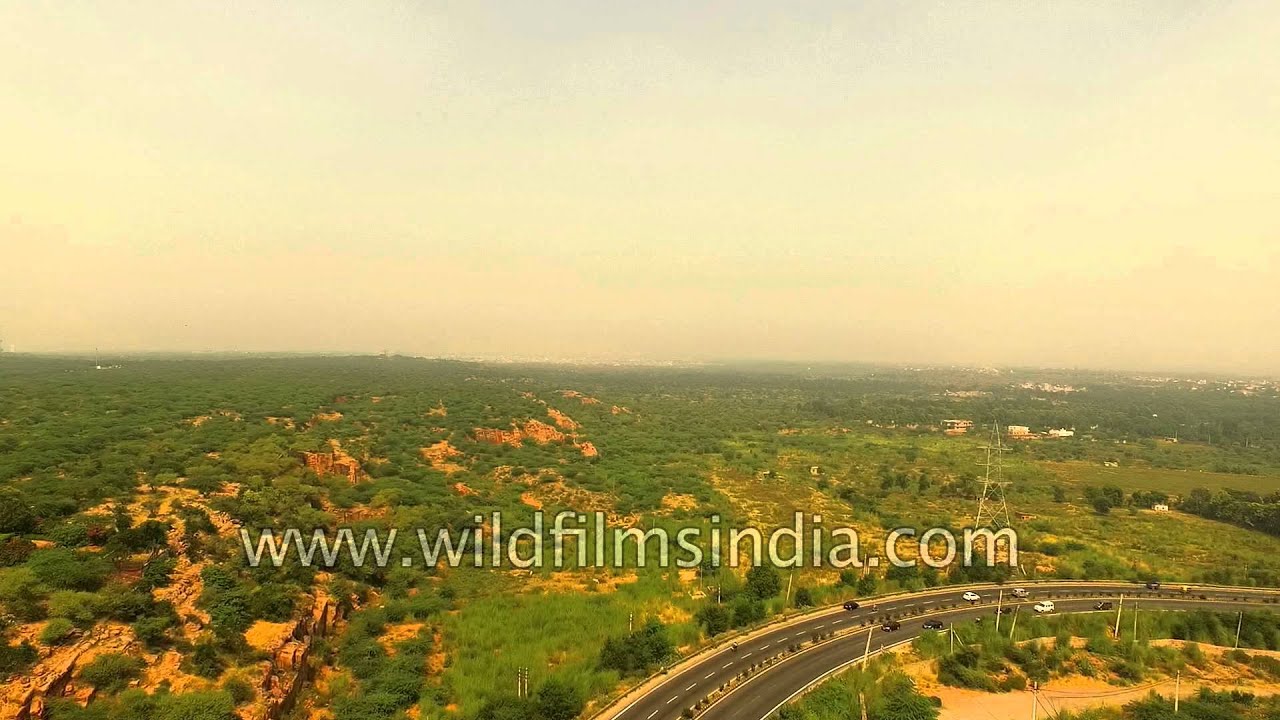
Flying over Gurgaon from South Delhi. Gurgaon is a city in the Indian state of Haryana located immediately south of the National Capital Territory of Delhi, 32 kilometres southwest of New Delhi.

aerial
Aerial View of New Delhi's Connaught Place or Circus, India. Lots of traffic in Lutyens' Delhi!

highway · aerial
Aerial view of Dwarka as seen from a flight heading towards Indira Gandhi Airport, New Delhi. Buildings of Dwarka can be seen clearly from flight.

Haryana·highway · aerial
Aerial journey to Faridabad from Badarpur border via National Highway 2. It is a busy National Highway in India that runs through the states of Delhi, Haryana, Uttar Pradesh, Bihar, Jharkhand, and West Bengal.

Haryana·architecture · aerial
Aerial view of illuminated high rise buildings and monsoon clouds move in over millennium city of Gurgaon.
Haryana·aerial
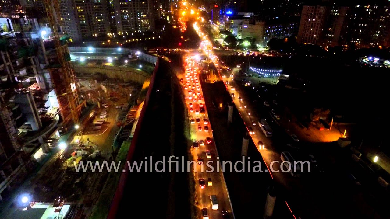
Flying over Gurgaon from South Delhi. Gurgaon is a city in the Indian state of Haryana located immediately south of the National Capital Territory of Delhi, 32 kilometres southwest of New Delhi.
Related subjects