
Rajhans Island where Chilika Lake meets the Bay of Bengal
Odisha·aerial · coastline
From above, Rajhans Island appears as a striking narrow land strip dividing two different water bodies.
Your archive
2,307 clips · page 10 of 101
Odisha·aerial · coastline
From above, Rajhans Island appears as a striking narrow land strip dividing two different water bodies.

Odisha·temple · aerial
An aerial view of the sacred Shree Jagannath Temple shows the temple complex and surrounding town shrouded in mist. Due to the foggy weather, the full view of Puri is not clearly visible from above.
coastline · aerial
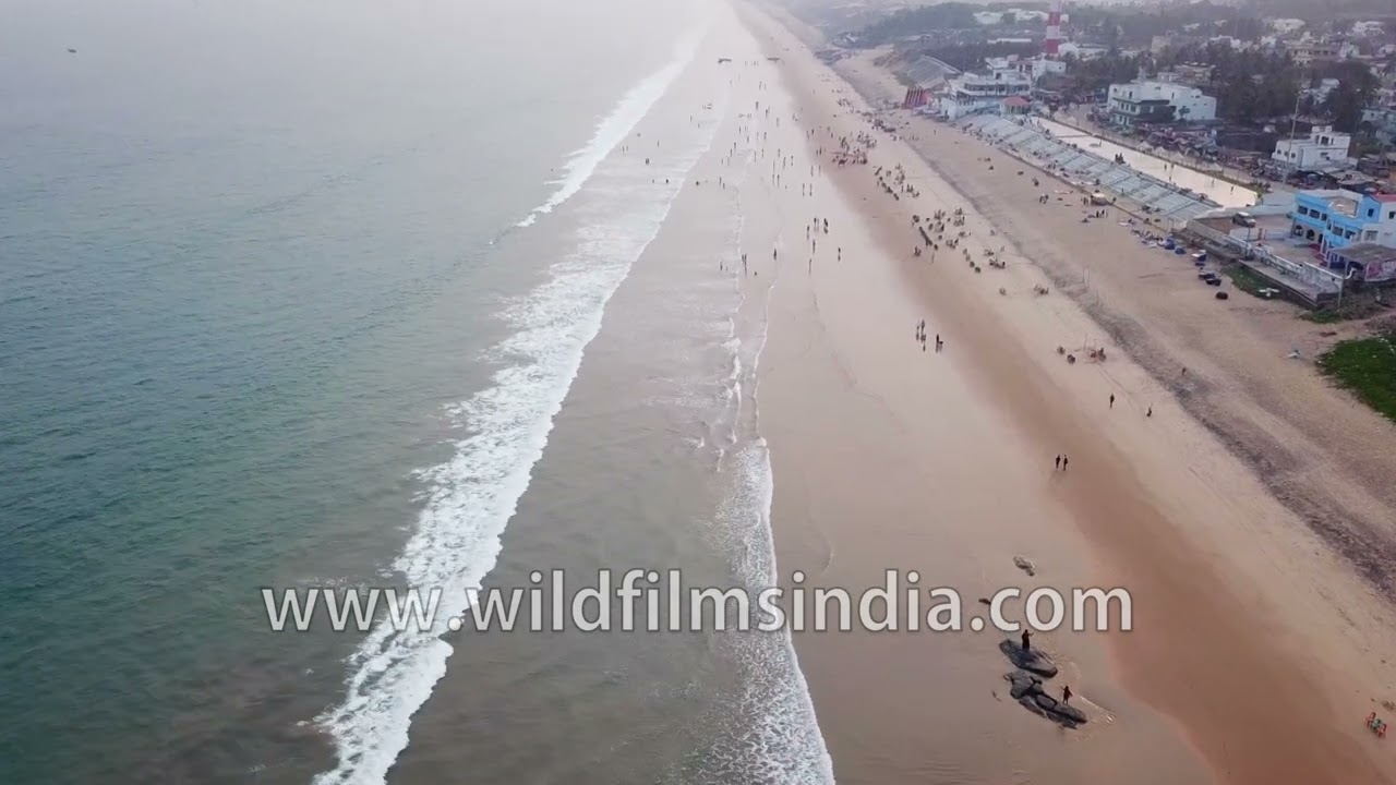
A stunning aerial view of Gopalpur Beach reveals the long sandy shoreline meeting the deep blue waters of the Bay of Bengal. Gentle waves roll toward the coast while the beach stretches peacefully along the horizon.

festival · aerial
An exciting motorbike stunt show featuring wheelies and thrilling riding skills performed at Tuirial Airfield during the Winter Festival 2018 in Mizoram, India.

river · architecture
A scenic view shows a long bridge stretching across the wide waters of the Mahanadi River and Kathajodi River in Odisha, India.

Odisha·temple · aerial
A breathtaking aerial view of the magnificent Konark Sun Temple reveals the historic monument rising beautifully amid lush green vegetation in Konark, Odisha, India.

farmland · coastline
An aerial view reveals neat geometric patterns of salt farms and evaporation pans near Gopalpur-on-Sea in Odisha, India. The vast network of rectangular salt fields forms striking patterns across the landscape.
temple · aerial
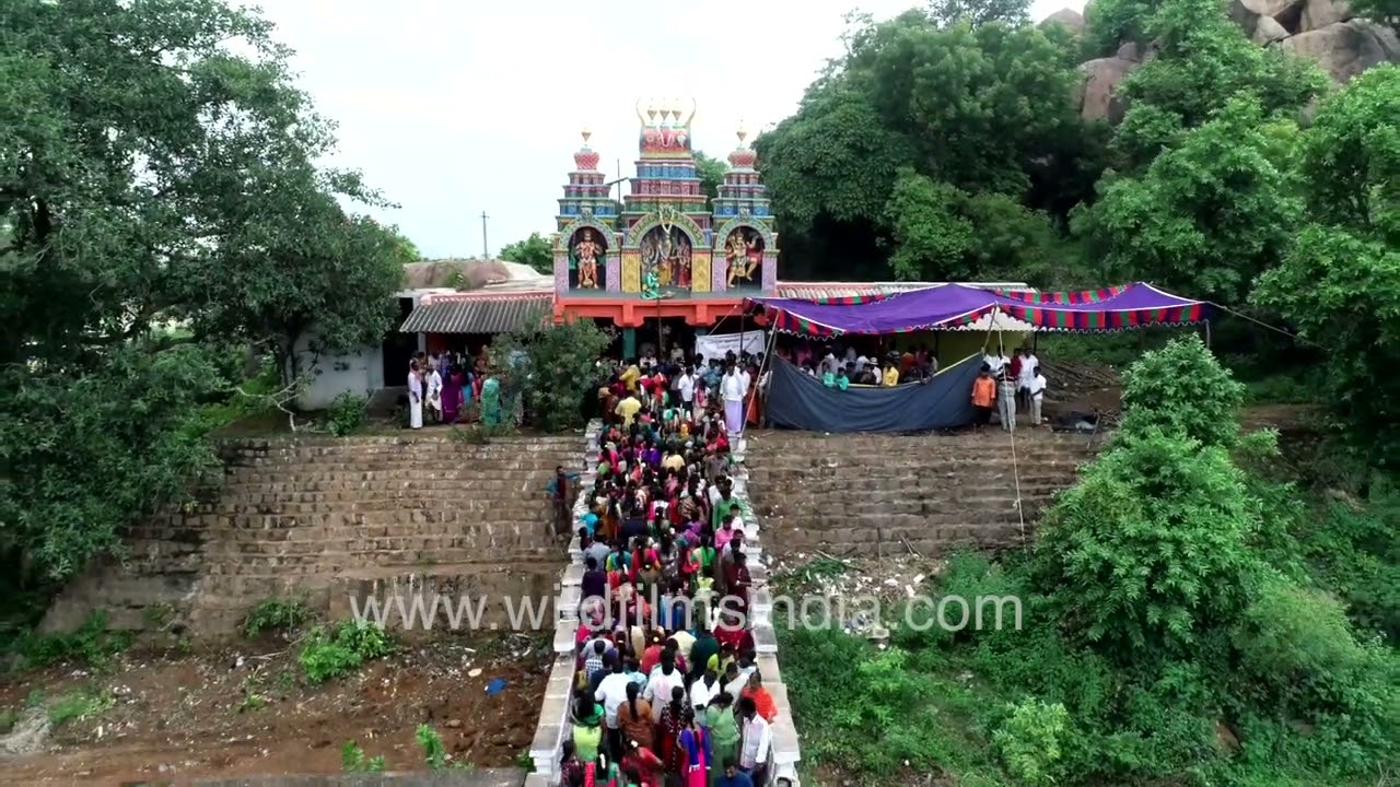
Aerial drone footage shows the steep and long staircase leading up the hillside to Jenu Goodu Betta Anjaneya Swamy Temple in Karnataka, India. The colourful temple sits high above the valley, surrounded by hills and forest.
coastline · aerial
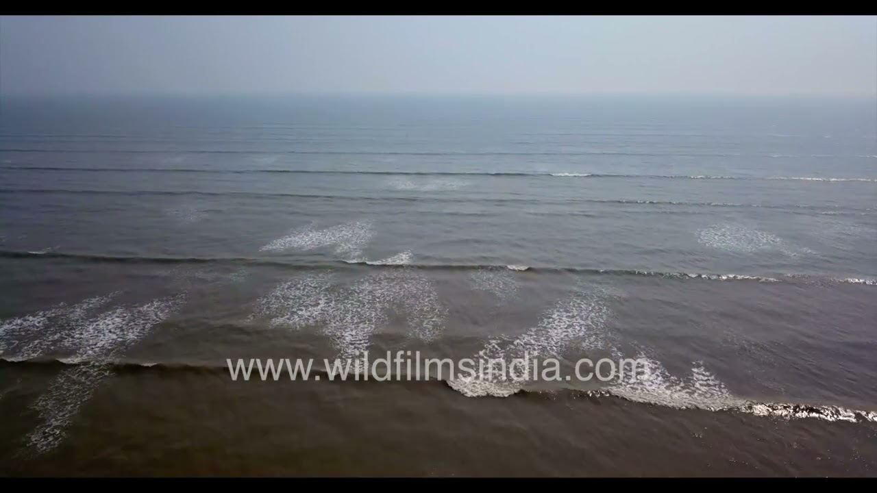
A sweeping aerial perspective captures the beauty of Chandipur Beach in Odisha, where rhythmic waves glide gently across the vast shoreline.
aerial · industry
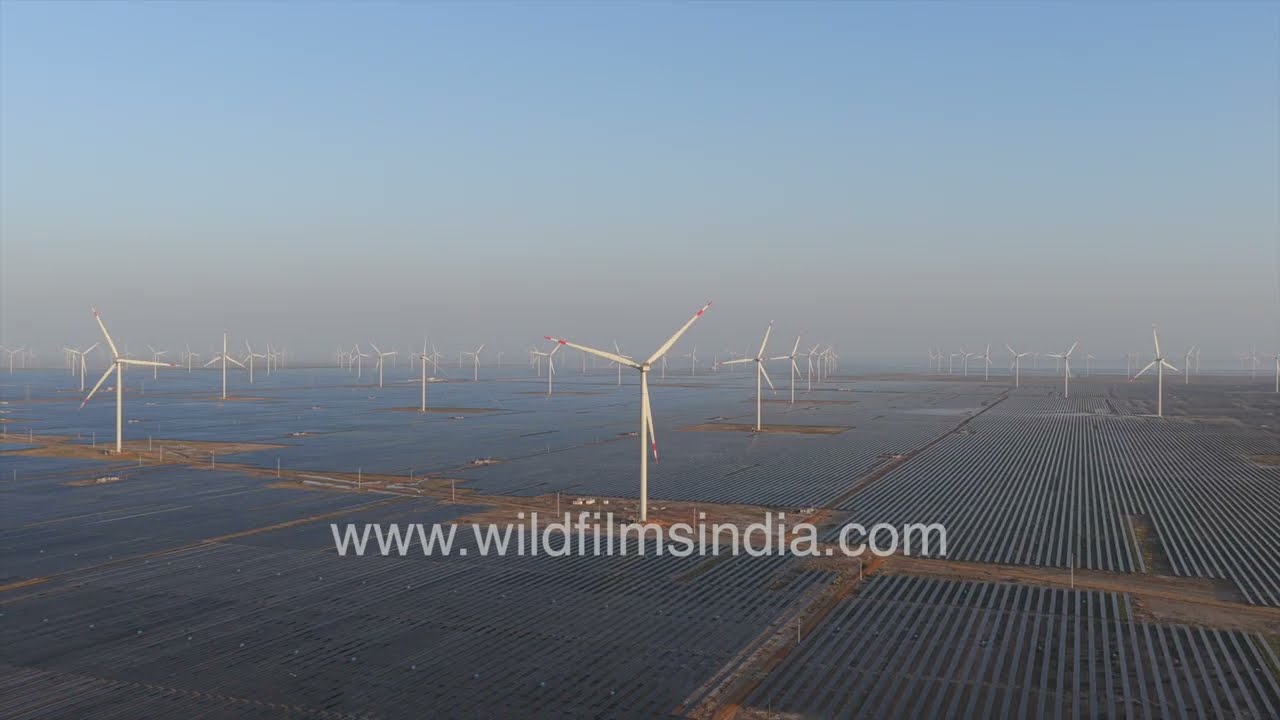
This aerial view captures the vast scale and geometric precision of an Adani Solar Park, showcasing one of India’s major renewable energy infrastructures.

Kanpur, Uttar Pradesh·aerial · highway
An aerial perspective of Kanpur reveals a densely populated urban landscape typical of a major North Indian industrial city.

Uttar Pradesh·river · aerial
An aerial view of Manikarnika Ghat during Dev Deepawali reveals a powerful and symbolic section of Varanasi’s sacred riverfront.

aerial · industry
An aerial view of an Adani Renewables solar power plant reveals a vast expanse of photovoltaic (PV) panels arranged in precise geometric rows across the landscape.

Uttar Pradesh·aerial · ceremony
An aerial perspective of Varanasi during Dev Deepawali reveals a breathtaking panorama of one of the world’s oldest continuously inhabited cities glowing along the sacred Ganges River.

Uttar Pradesh·river · architecture
A breathtaking aerial view captures the densely packed urban architecture lining the historic ghats of Varanasi along the sacred Ganges River.
village · aerial
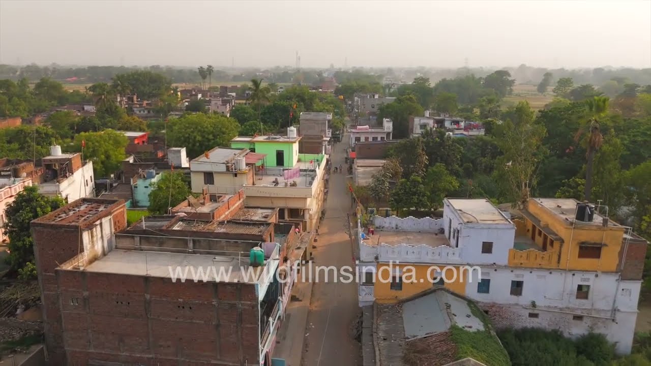
A serene aerial view of a rural settlement in Gopalganj district, India, captures the quiet beauty of village life at sunrise.

village · aerial
This stunning aerial view captures the peaceful rural landscape of Gopalganj district in Bihar, where agriculture, waterways, and village life blend into a timeless countryside scene.
aerial · river
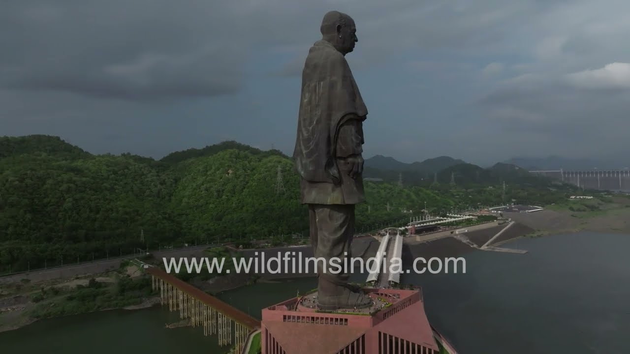
Experience a breathtaking aerial view of the magnificent Statue of Unity, the world’s tallest statue, standing proudly at 182 meters.
aerial · forest
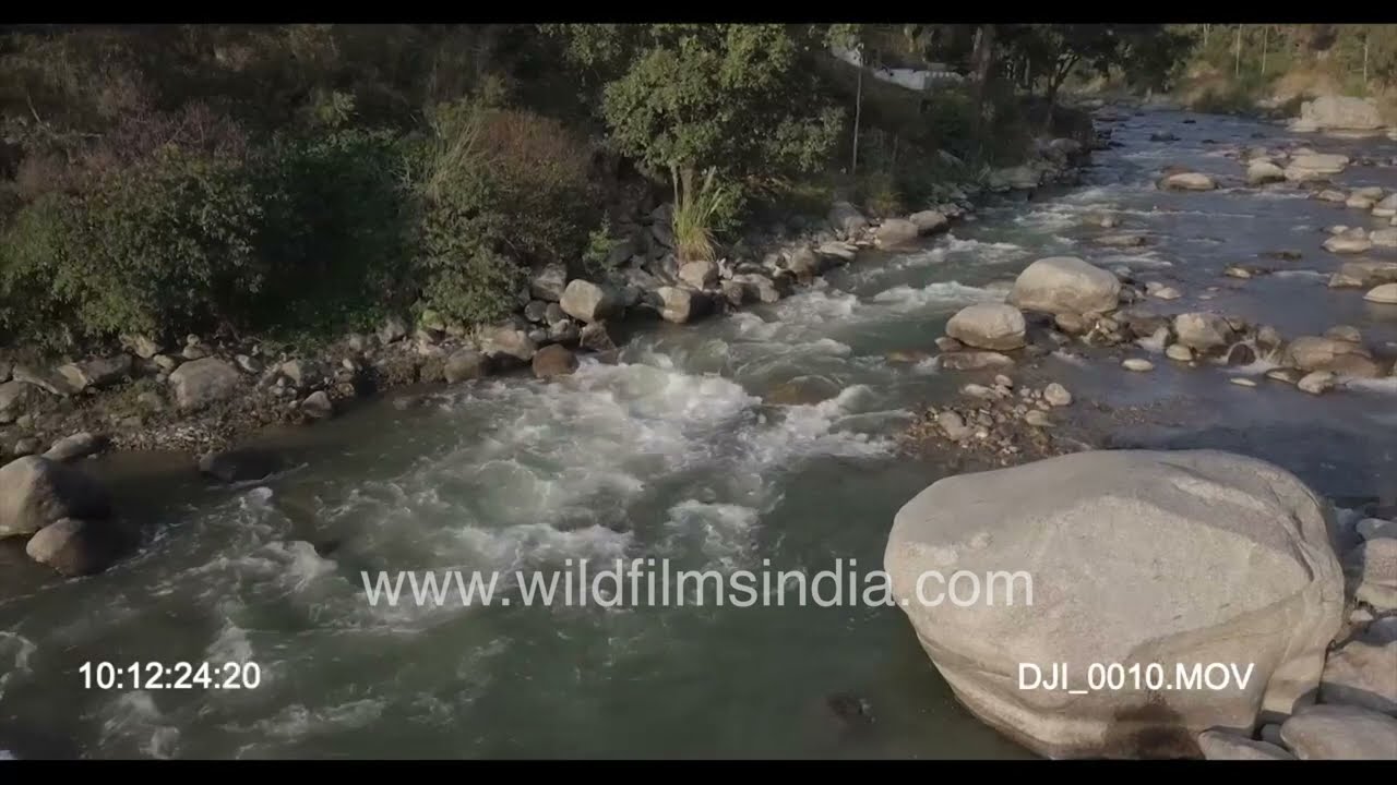
Arunachal Pradesh 4K footage compilation of Assam border forests, sub-montane streams and villages, as seen aerially, in this aerial view, from the air.
wildlife · aerial
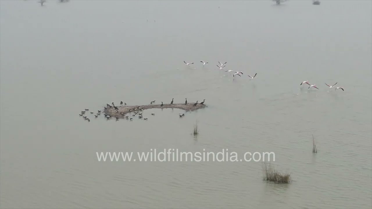
An aerial perspective of Sambhar Lake reveals a surreal landscape where shimmering salt flats stretch endlessly across Rajasthan’s horizon.
river · aerial
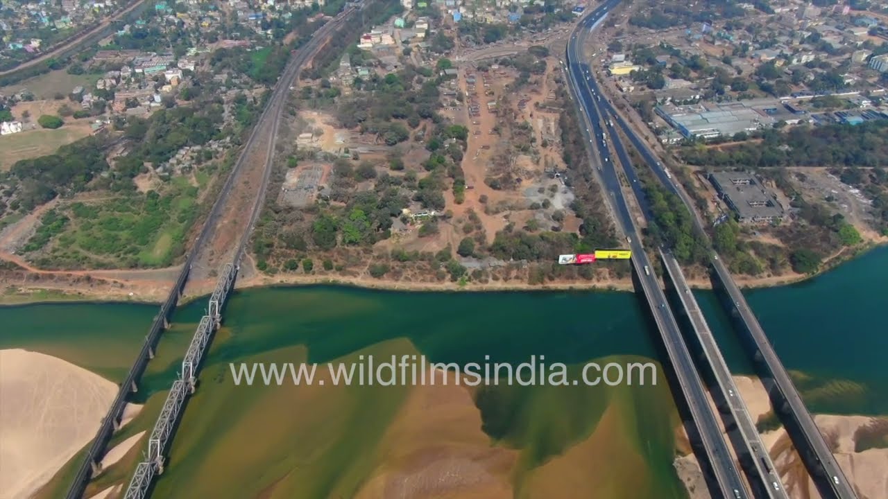
Experience a breathtaking aerial view of the rail and road bridges spanning the mighty Mahanadi River near Cuttack, one of the oldest and most historic cities in Odisha.

farmland · village
An aerial view of Udham Singh Nagar reveals an expansive rice-growing landscape shaped by a vast patchwork of green and brown fields.
village · aerial
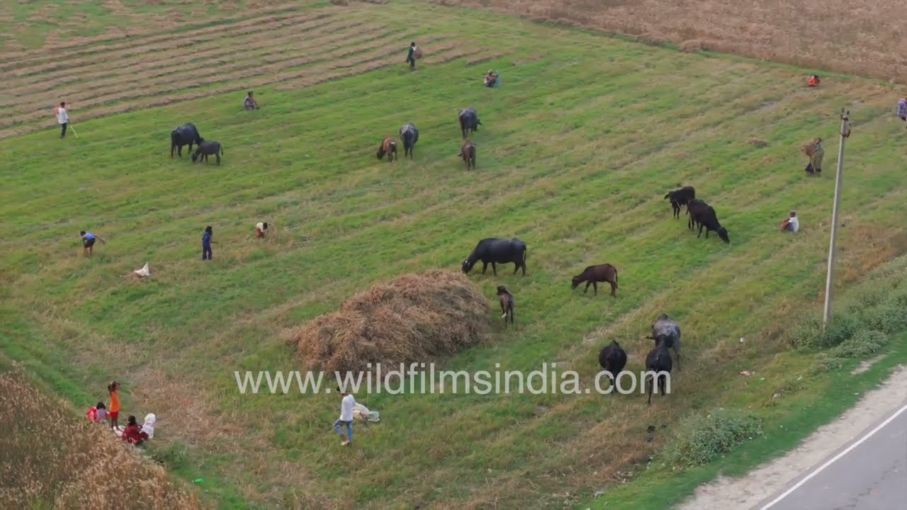
The location shown is Baluhi Bazar village in Gopalganj, Bihar, likely representing a small town or rural settlement typical of northern India, though the exact spot cannot be confirmed with absolute certainty.
Related subjects