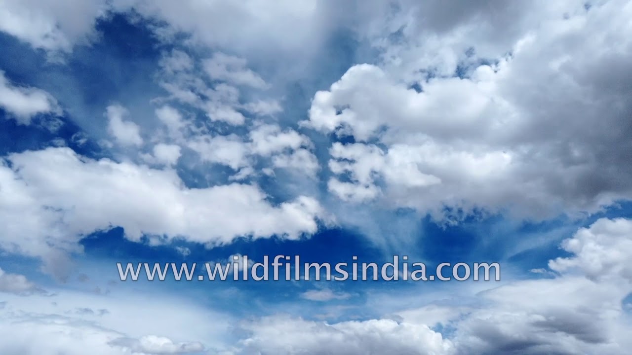
Timelapse of cloud over Pangong Tso and Ladakh
Ladakh·lake · river
Pangong Tso-lake in the Changthang region of Ladakh has emerged as one of the most wanted places to visit among domestic tourists in recent times.
Your archive
Search results
Search results
1,246 clips in river · page 43 of 52
Ladakh·lake · river
Pangong Tso-lake in the Changthang region of Ladakh has emerged as one of the most wanted places to visit among domestic tourists in recent times.
flowers · industry
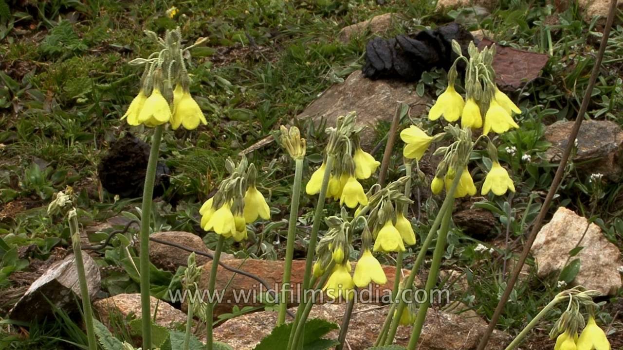
An alpine meadow covered in rare bloom! A June visit to north Sikkim in India yields a rich species list of primulas and Rhododendrons, including Primula strumosa (the yellow one is not sikkimensis!) and glomerata (the blue species) and the…

West Bengal·river
Workers spreading tea leaves in withering troughs for drying at the Glenburn tea estate in Darjeeling.

Jammu and Kashmir·highway · river
The distance between Bharatpur to Sarchu on Himachal-Jammu and Kashmir border is 38kms approximately. It takes around one hour to reach Sarchu on Himachal-Jammu and Kashmir border from Bharatpur on Keylong-Leh Road, Himachal Pradesh.

Jammu and Kashmir·highway · river
The distance between Bharatpur to Sarchu on Himachal-Jammu and Kashmir border is 38kms approximately. It takes around one hour to reach Sarchu on Himachal-Jammu and Kashmir border from Bharatpur on Keylong-Leh Road, Himachal Pradesh.

Jammu and Kashmir·highway · river
The distance between Bharatpur to Sarchu on Himachal-Jammu and Kashmir border is 38kms approximately. It takes around one hour to reach Sarchu on Himachal-Jammu and Kashmir border from Bharatpur on Keylong-Leh Road, Himachal Pradesh.
river · bazaar
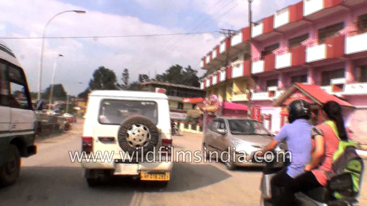
The distance between Bilaspur to Mandi is 66 kms via NH21 in the Indian state of Himachal Pradesh. It takes two hours to reach Mandi from Bilaspur, Himachal Pradesh. Bilaspur is a district of Himachal Pradesh state, India.

Himachal Pradesh·highway · river
The distance between Bharatpur to Sarchu on Himachal-Jammu and Kashmir border is 38kms approximately. It takes around one hour to reach Sarchu on Himachal-Jammu and Kashmir border from Bharatpur on Keylong-Leh Road, Himachal Pradesh.
Jammu and Kashmir·highway · river
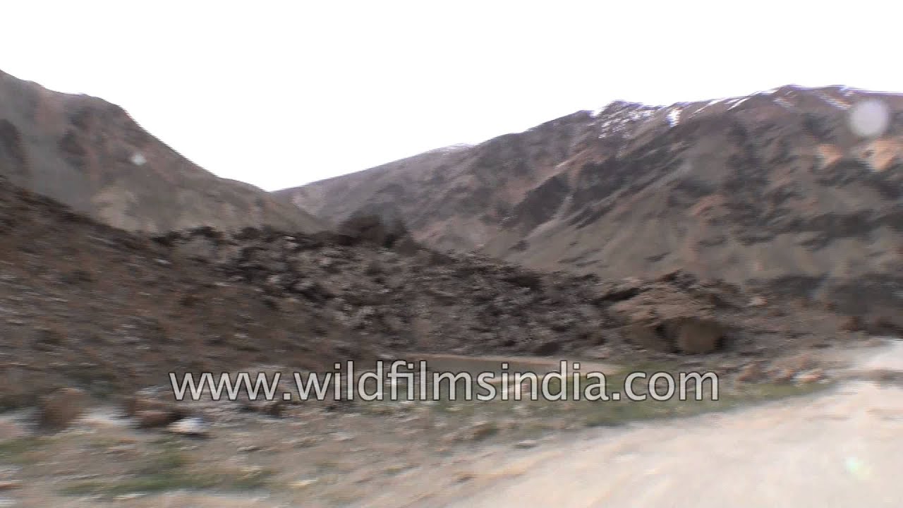
The distance between Bharatpur to Sarchu on Himachal-Jammu and Kashmir border is 38kms approximately. It takes around one hour to reach Sarchu on Himachal-Jammu and Kashmir border from Bharatpur on Keylong-Leh Road, Himachal Pradesh.

river · highway
The distance between Baralacha La Pass to Bharatpur in Himachal Pradesh is 5Kms approximately. It takes around an hour to reach Bharatpur from Baralacha La Pass.

Uttarakhand·river · festival
Sadhus and Hindu devotees sit under a tree near a temple on the banks of River Ganges in Haridwar, one of the seven holiest (Sapta Puri) to Hindus.

Rishikesh, Uttarakhand·river · hills
On 7th February 2021, a sudden glacial surge of water gushed down the riverine course of the Rishi Ganga and thus the Dhauli Ganga, and into the Alaknanda river valley, all the way down from Chamoli in Garhwal to the lower reaches of the Ga…
river · highway
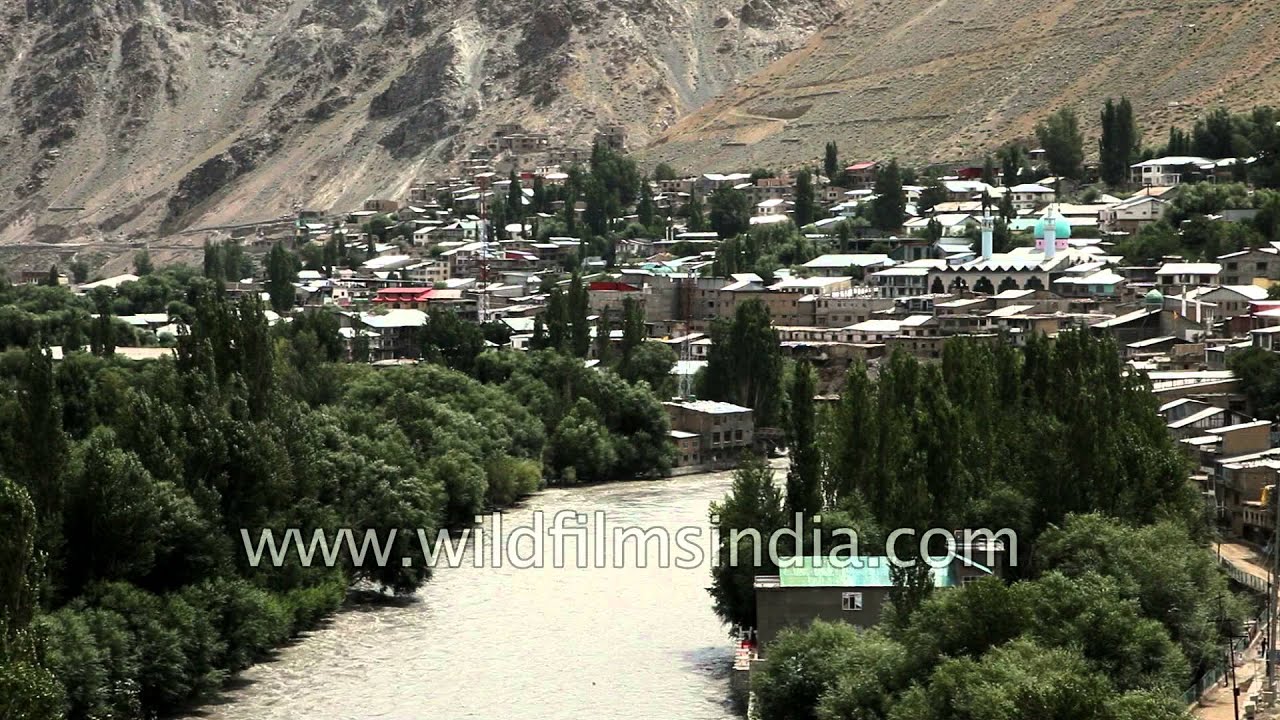
Kargil is a city in the Kargil district of Ladakh, in the Indian state of Jammu and Kashmir. It is the second largest town in Ladakh after Leh.

river · lake
We cross an Indian Army Tata truck (2 tonner) coming from the Indo-Tibet border. Tangtse village on Leh- Pangong Tso road. Tangtse lies on the valley floor through which the Harong stream flows.

temple · hills
Hundreds of pilgrims gather for Yamunotri Yatra in Uttarakhand. Devotees are carrying a palanquin of the deity at Yamunotri temple. Yamunotri is one of the Char Dham and it is also first place to visit in the Char Dham Circuit.

hills · river
Around 8 kms from Gangtok Tashi View Point located on the Gangtok – North Sikkim Highway offers the spectacular view of Mt. Kanchenjunga and Mt. Siniolchu. Tashi View Point was built by late king of Sikkim - Sri Tashi Namgyal.

Uttarakhand·lake · river
The gem of Uttarakhand - Nainital is a charming hill station that sits prettily at the green foothills of the Kumaon ranges in the Himalayas.

snow · river
Winter in the higher reaches of the Himalaya means frozen streams, a thick blanket of snow, snow covered Deodar trees and icicles. See all this and more just above Harsil on the way to Gangotri.
Arunachal Pradesh·lake · river
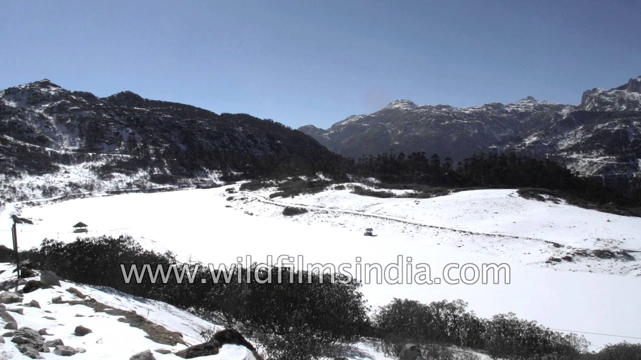
As one goes to higher altitudes in the Himalayas, one comes across amazing patterns of winding roads and highways.

hills · river
View snow covered Jumolhari mountain as seen from Drukgyal Dzong in Bhutan. Jomolhari or Chomolhari sometimes known as "the bride of Kangchenjunga”, is a mountain in the Himalayas, straddling the border between Yadong County of Tibet, China…

hills · river
A trout stream gurgles past even as a middle altitude road leads to higher altitude reaches of Kashmir in India. Kashmir is the northwestern region of the Indian subcontinent.

river · hills
Close view of a Map for the Border Security Force (BSF) responsibility area of Nathanpur, Assam, India. The Border Security Force (BSF) is a Border Guarding Force of India.
hills · farmland
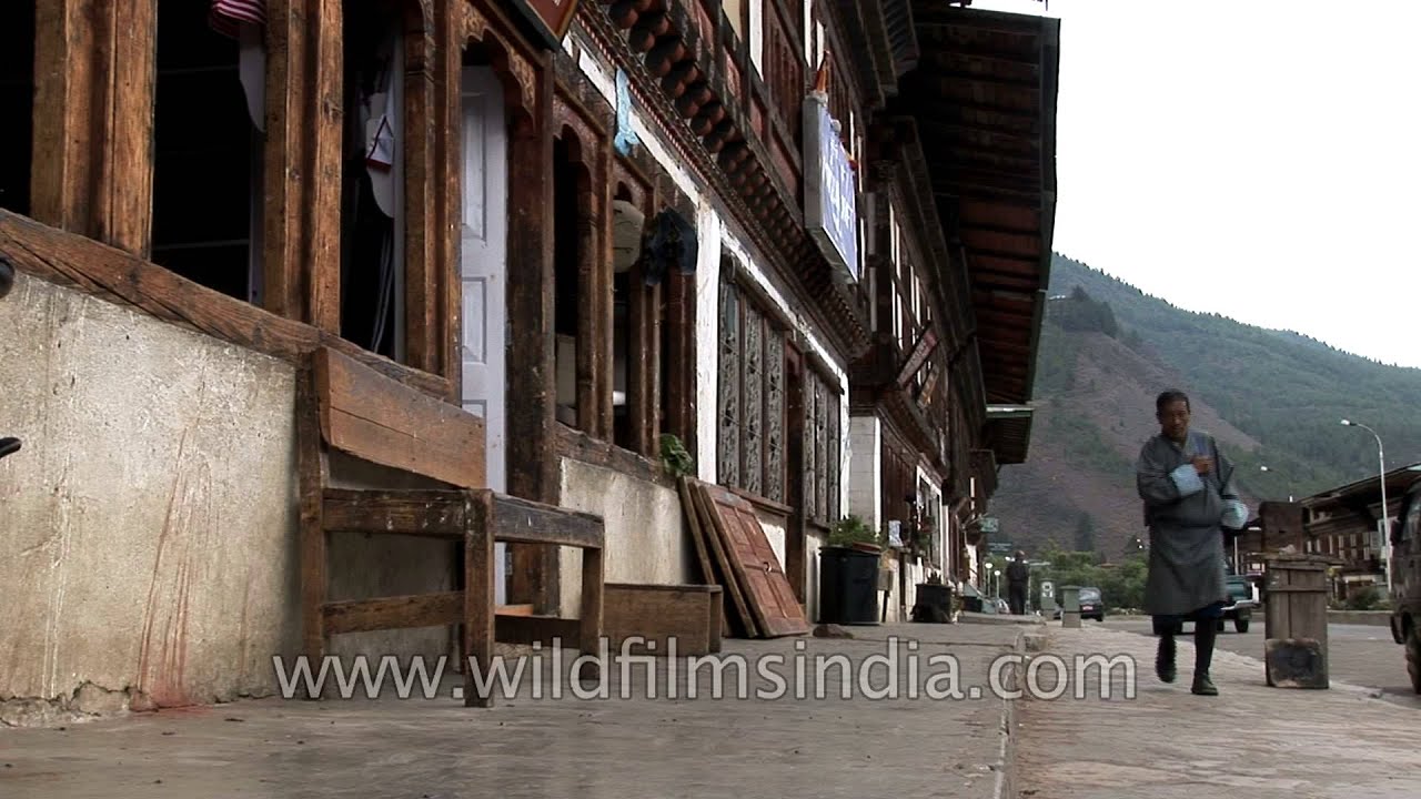
Bhutan (Dzongkha: འབྲུག་ཡུལ་; Wylie transliteration: ʼbrug-yul "Druk Yul"), officially the Kingdom of Bhutan, is a landlocked state in South Asia located at the eastern end of the Himalayas.

Uttarakhand·wildlife · river
Without the Ramganga river there would be no Corbett. It is the largest of the precious few perennial sources of water in the Park. In fact, for a brief period (from 1954 to 1957) the Park was known as Ramganga National Park.
Every clip here is available to license. Get in touch