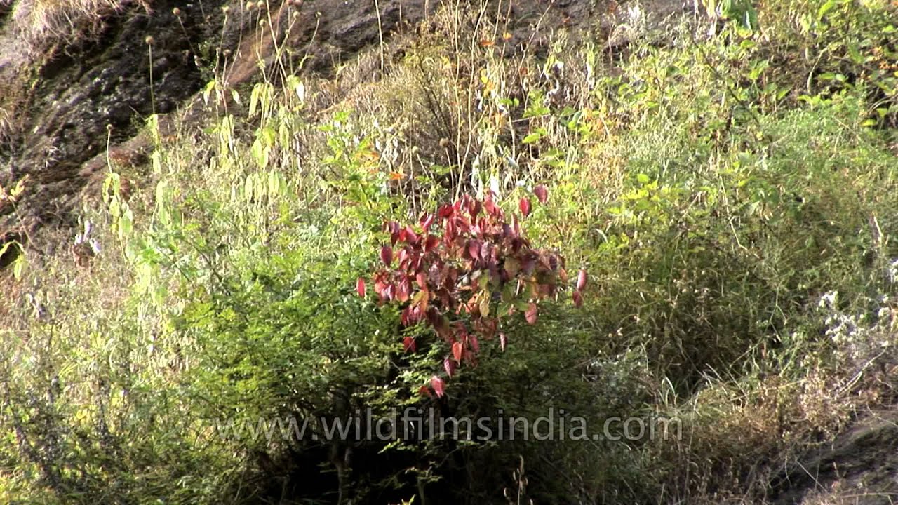
Wild flora on the Gidara trek in Uttarakhand
flowers · snow
Wild flora on the Gidara trek in Uttarakhand. Dayara Bugyal along with its twin Gidara Bugyal is perhaps one of the most beautiful alpine meadows in India.
Your archive
Search results
Search results
7,161 clips · page 198 of 299
flowers · snow
Wild flora on the Gidara trek in Uttarakhand. Dayara Bugyal along with its twin Gidara Bugyal is perhaps one of the most beautiful alpine meadows in India.
flowers · monsoon
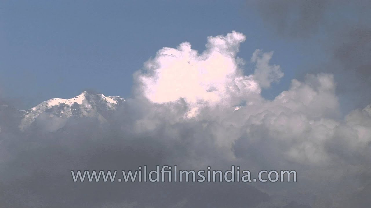
Mt. Srikanth seen from Gidara Bugyal along with Bhagirathi peaks and Kalanag peak. A splendid natural scenery awaits on the trek to Gidara and Dayara Bugyal from Barsu village in Uttarakashi district in Uttarakhand.

hills · forest
Uttarakhand has a total area of 53,484 km², of which 93% is mountainous and 65% is covered by forest. Most of the northern part of the state is covered by high Himalayan peaks and glaciers.
snow · river
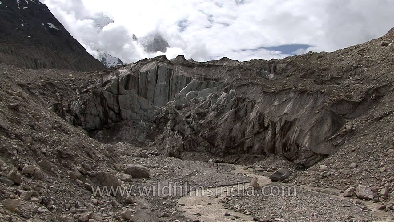
The frozen mountain stands strong as the holy Hindu river Bhagirathi flow out of a snout in Gaumukh in Uttarakhand. Gomukh, the terminus or snout of the Gangotri Glacier, from where Bhagirathi river originates.

Uttarakhand·hills
The mountains of the western Himalaya are crowded with hill-station developments and ill-planned towns such as Mussoorie, with urban sanitation problems, non-earthquake-proof buildings and over-crowding, not to speak of massive shortages of…

Ladakh·lake · river
Pangong Tso, Tibetan for "long, narrow, enchanted lake", also referred to as Pangong Lake, is an endorheic lake in the Himalayas situated at a height of about 4,350 m (14,270 ft). It is 134 km (83 mi) long and extends from India to Tibet.
lake · river
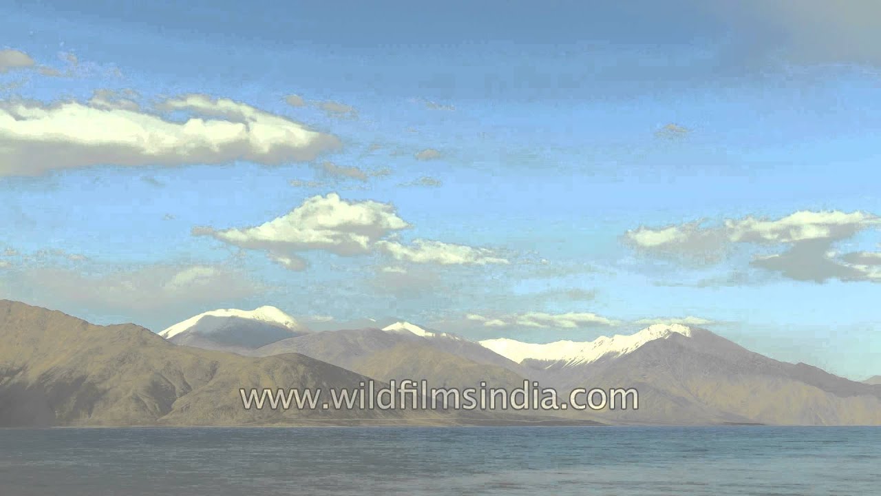
Pangong Tso, Tibetan for "long, narrow, enchanted lake", also referred to as Pangong Lake, is an endorheic lake in the Himalayas situated at a height of about 4,350 m (14,270 ft). It is 134 km (83 mi) long and extends from India to Tibet.

lake · river
Pangong Tso, Tibetan for "long, narrow, enchanted lake", also referred to as Pangong Lake, is an endorheic lake in the Himalayas situated at a height of about 4,350 m (14,270 ft). It is 134 km (83 mi) long and extends from India to Tibet.
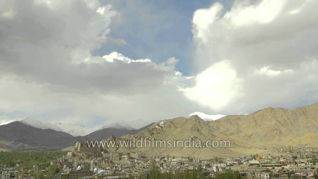
Ladakh·hills
Clouds passing over the Leh city and the huge barren mountains of Ladakh. A fantastic establishing shot of Leh, Ladakh! This would make for a perfect feature film introduction plate for Leh city or Bollywood...

hills
Smoky clouds billowing over the mountains of Ladakh with the Himalayan mountains in the backdrop...
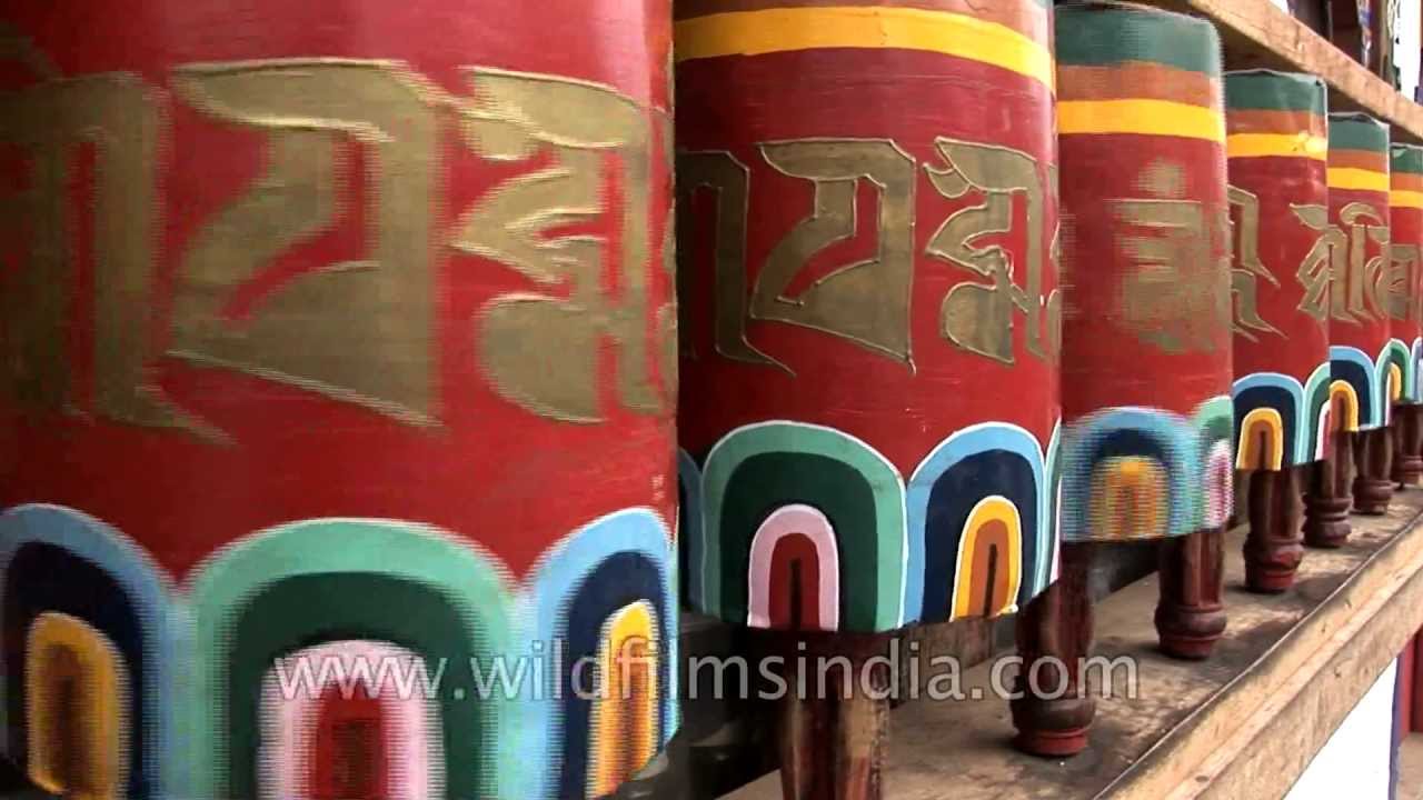
Bhutan·hills · river
Paro has the privilege of hosting Bhutan's lone airport. The Paro Chhu valley is an excellent trout stream and runs through the valley.
Bhutan·hills · river
Paro hosts Bhutan's lone airport and the valley comprises a range of bucolic imagery including traditional Bhutanese homes, dzongs or fortified monasteries and green rice fields as far as the eyes can see.

hills · river
Paro hosts Bhutan's lone airport and the valley comprises a range of bucolic imagery including traditional Bhutanese homes, dzongs or fortified monasteries and green rice fields as far as the eyes can see.
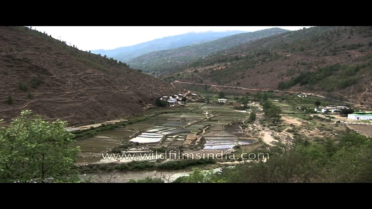
hills · river
Paro hosts Bhutan's lone airport and the valley comprises a range of bucolic imagery including traditional Bhutanese homes, dzongs or fortified monasteries and green rice fields as far as the eyes can see.
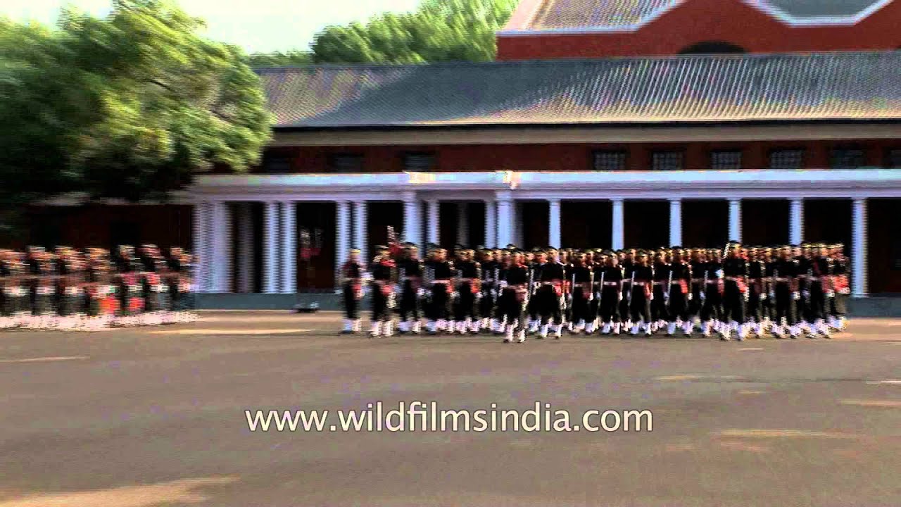
Uttarakhand
Companies parade at the passing out parade at the Indian Military Academy in Dehradun. The Indian Military Academy is located in the foothills of the Himalayas, about 8 km west of Dehradun in the northern Indian state of Uttarakhand.
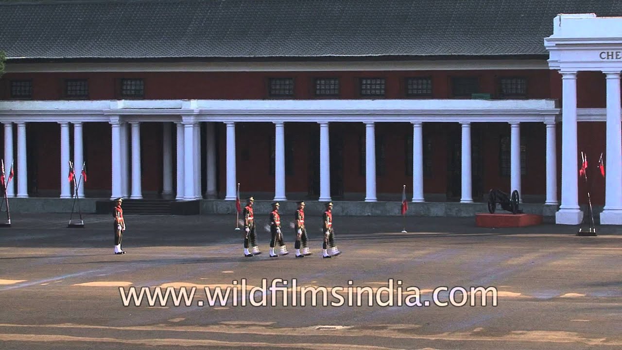
Cadets march smartly during the passing out parade of the Indian Military Academy in Uttarakhand. The Indian Military Academy, Dehradun (also known as IMA) is the officer training Academy of the Indian Army. IMA was established in 1932.

Uttarakhand
The Indian Military Academy, Dehradun (also known as IMA) is the officer training Academy of the Indian Army. IMA was established in 1932.

Chandigarh, Punjab·river · lake
Sukhna Lake in Chandigarh, India is an artificial lake at the foothills of the Himalayas, the Shivalik hills. This 3 km² rainfed lake was created in 1958 by damming the Sukhna Choe, a seasonal stream coming down from the Shivalik Hills.

birds · wildlife
The Great Barbet (Megalaima virens) is an Asian barbet. Barbets are a group of near passerine birds with a worldwide tropical distribution. They get their name from the bristles which fringe their heavy bills.

Uttarakhand·birds · wildlife
The Great Barbet (Megalaima virens) is an Asian barbet. Barbets are a group of near passerine birds with a worldwide tropical distribution. They get their name from the bristles which fringe their heavy bills.

birds · wildlife
Himalayan Barbet removing the droppings of its chicks from its nest hole to avoid diseases and smells that may attract predators. The Great Barbet (Megalaima virens) is an Asian barbet.

birds · wildlife
The Great Barbet (Megalaima virens) is an Asian barbet. Barbets are a group of near passerine birds with a worldwide tropical distribution. They get their name from the bristles which fringe their heavy bills.

street food · hills
Kashmir food vendour selling the seekh tuji in the streets of Kashmir. Kashmir is the northwestern region of the Indian subcontinent.

Arunachal Pradesh·forest · river
Bhalukpong is a small town located along the southern reaches of the Himalayas in West Kameng district of Arunachal Pradesh in India. The town is located at 213m above sea level, 100 km from Bomdila, 52 km from Tezpur and 5 km from Tipi.
Every clip here is available to license. Get in touch