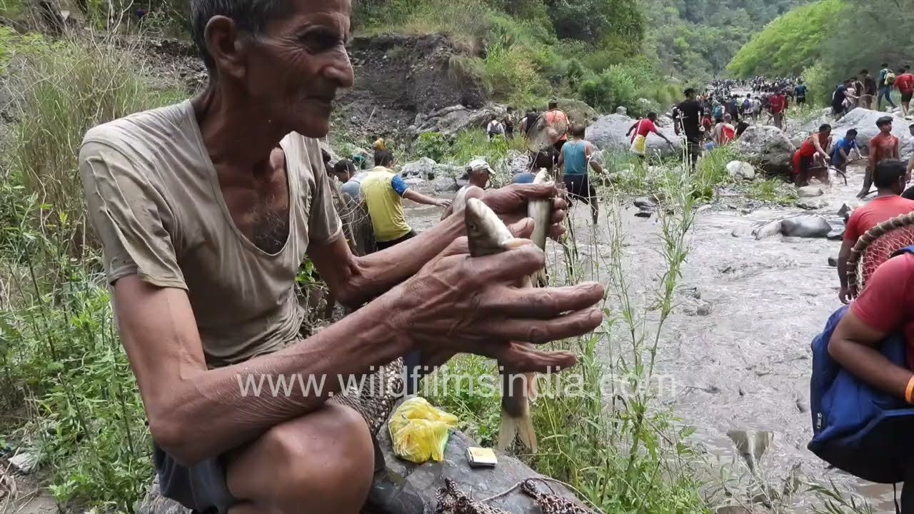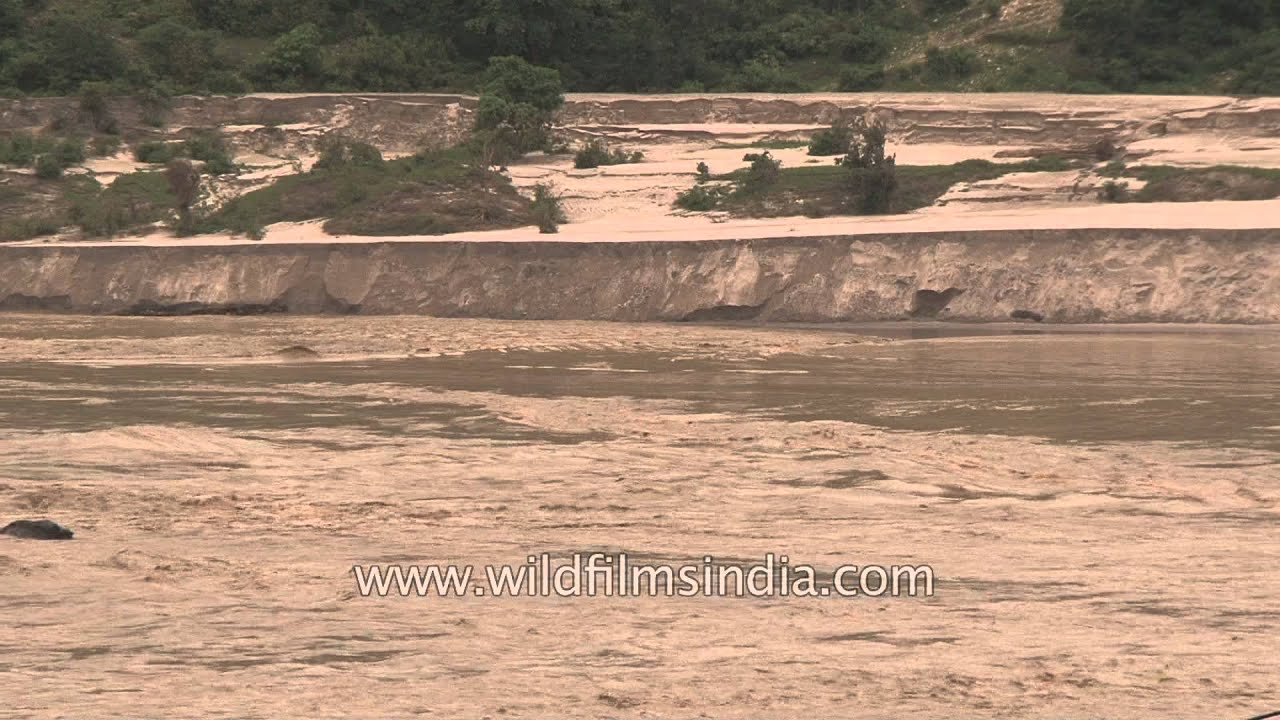
Uttarakhand flood calamity: Ganga attacks with ferocity!
monsoon
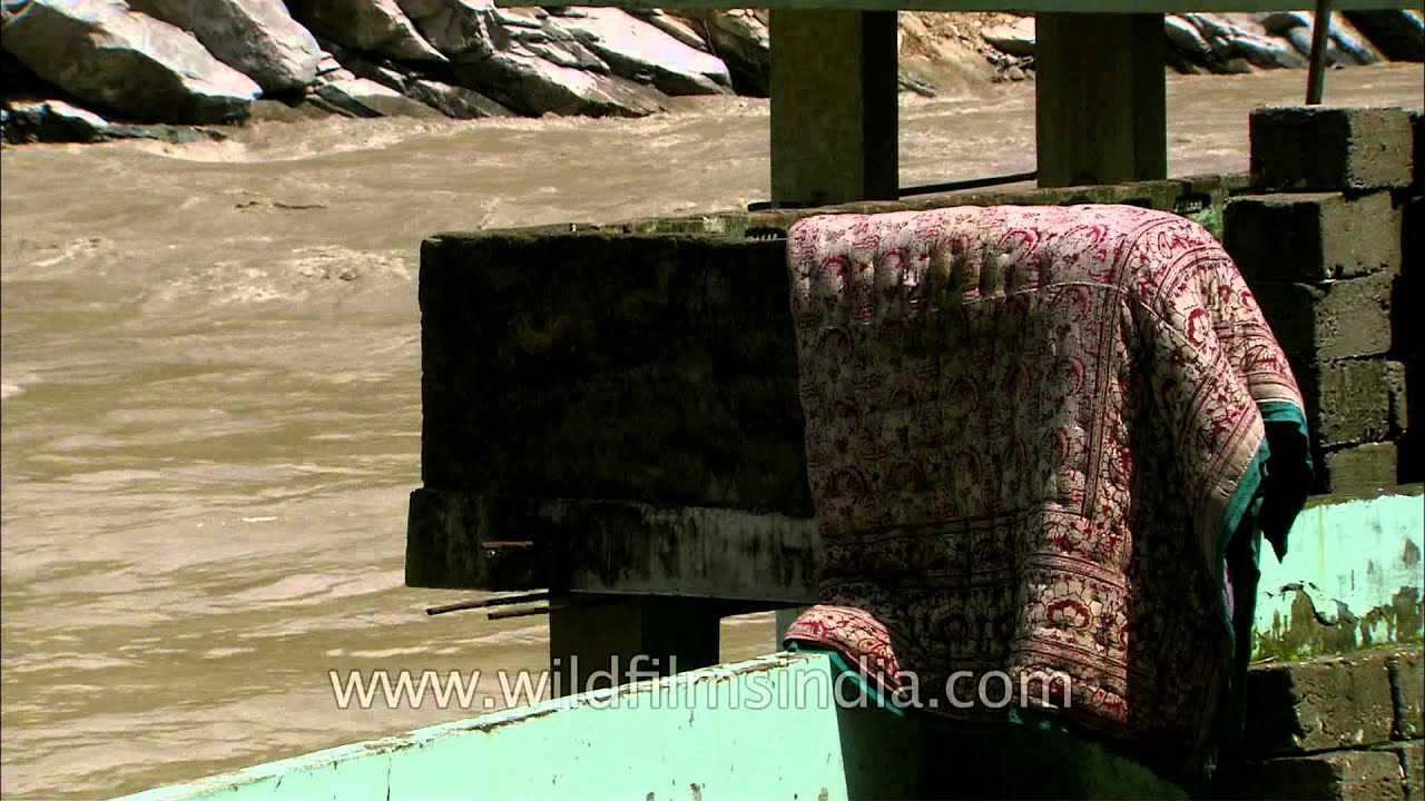
The flood waters of the Ganges attack the state of Uttarahand with great ferocity. June 2013 floods.
Your archive
Uttarakhand · 3,455 clips · page 89 of 151

monsoon
The flood waters of the Ganges attack the state of Uttarahand with great ferocity. June 2013 floods.

architecture · river
Dinesh, witness of Uttarakhand flood disaster speaks out. "My name is Dinesh, Agastyamuni Village, Rudraprayag District".

temple · forest
Neelkanth Mahadev Temple is a Hindu temple dedicated to Nilkanth (Lord Shiva). The temple is situated at a height of 1330 meters and is located about 32 km from Rishikesh in the Pauri Garhwal district of Uttarakhand, India.

festival · hills
Enthusiastic devotees in red cloths praying and offering homage to the God and Goddess of earth. Uttarakhand, formerly Uttaranchal, is a state in the northern part of India.

Uttarakhand·village
Smiling kids of Agora Village, Uttrakhand Uttarakhand formerly Uttaranchal, is a state in the northern part of India.

festival · music
Escape Festival of Naukuchiatal, Uttarakhand is an annual festival of Arts and Music. It's a three day escape into nature which is a diverse mix of creative expressions through contemporary music, photography, pottery, painting and other e…

hills · snow
A Himalayan Tahr (Hemitragus jemlahicus) walking through deep snow in Uttarakhand, India. The animal carefully moves across the snow-covered ground, making its way through a forest where the trees are blanketed in fresh snow.

industry · hills
The installation of a modern glass balcony railing system in Uttarakhand, India. Workers are seen assembling and securing a black-framed railing structure using power tools.

hills · wildlife
A group of Himalayan Tahrs (Hemitragus jemlahicus) grazing on the rugged mountain slopes of Uttarakhand in the Indian Himalayas.

hills · ceremony
This scenic footage captures beautiful wide shots of rocky mountain landscapes at Jalandhari Gad, Harsil, located near Gangotri Dhaam in the high Himalayas.

hills · aerial
This video captures a breathtaking drone push-in aerial shot of the peaceful Deolikhan village in Uttarakhand during a magnificent sunset.

Experience the peaceful beauty of Uttarakhand in the evening as the sky transforms into a breathtaking canvas of warm colours.

birds · wildlife
Watch a juvenile Steppe Eagle (Aquila nipalensis) perched on a tree in a peaceful green area.

Uttarakhand·highway
बद्रीनाथ धाम भगवान विष्णु का एक हिंदू मंदिर है। बद्रीनाथ से सड़क परिवहन की अच्छी कनेक्टिविटी होने के कारण, आप सड़क मार्ग से भी यहाँ पहुँच सकते हैं। बद्रीवन नर और नारायण नामक दो पर्वत श्रृंखलाओं से घिरा है। यह चार धामों में से एक है। यह 3,13…

monsoon
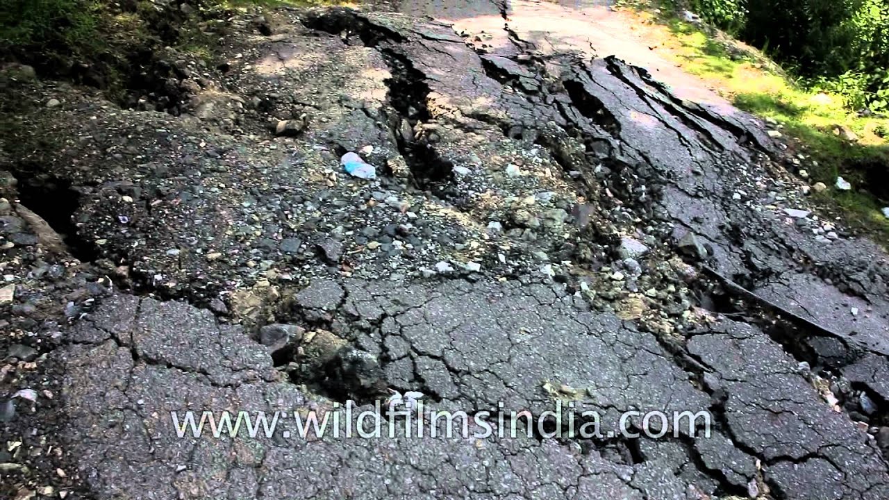
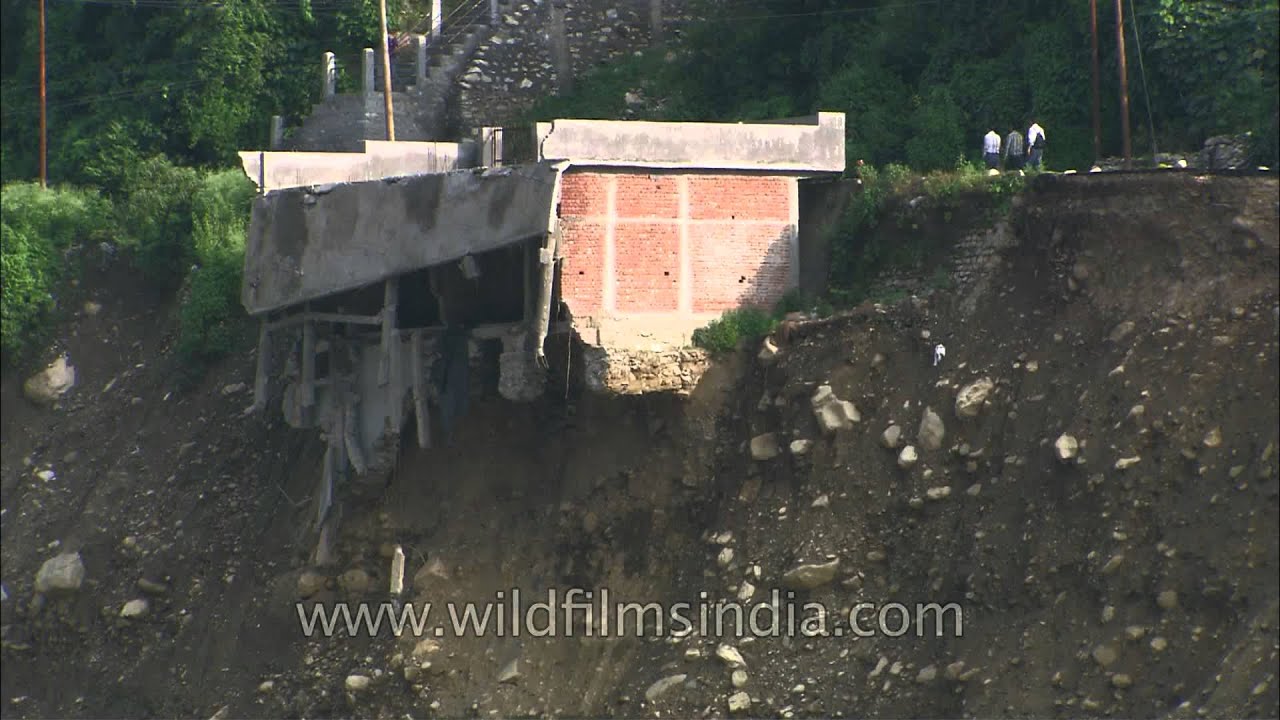
In June 2013, a multi-day cloudburst centered on the North Indian state of Uttarakhand caused devastating floods and landslides in the country's worst natural disaster since the 2004 tsunami.
farmland · livestock
A local farmer feeds a flock of Kadaknath chickens (Gallus gallus domesticus) in the Ghorakhuri region near Nainbagh, Uttarakhand. Known for their distinctive black feathers, skin, and meat, these birds are highly valued in India.

dance · festival
Choliya dancers performing at a Kumaoni baraat procession in Uttarakahnd, India. Choliya is a dance form practised in the Kumaun region of Uttarakhand.

hills
View of Kuari Pass in the Indian state of Uttarakhand and one can also see the snow covered peaks of Himalayan mountain range. Uttarakhand formerly Uttaranchal, is a state in the northern part of India.

monsoon
In June 2013, a multi-day cloudburst centered on the North Indian state of Uttarakhand caused devastating floods and landslides in the country's worst natural disaster since the 2004 tsunami.
monsoon
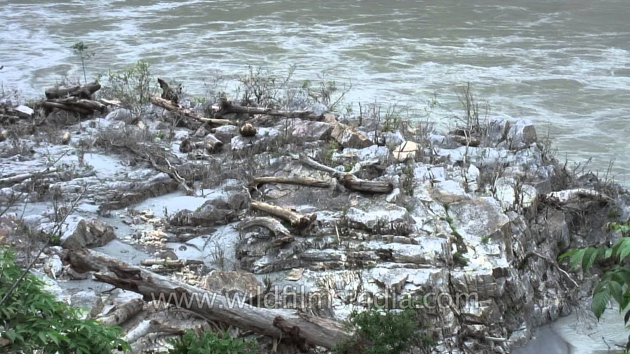
Heavy rainfall and flood on July 16 and 17 resulted in floods that damaged houses and roads in the Uttarakhand. Also, it has led to a total downgrading in business. Hotels and food joints wear a sad and deserted look.

hills · river
Hanging bridge over Tons river in Osla -Sima of Jaunsa-Bawar region in Uttarakhand. This is the only bridge which connects Osla and Sima.

farmland
Woman harvesting crops in a field - Kumaon region, Uttarakhand. Kumaon or Kumaun is one of the two regions and administrative divisions of Uttarakhand, a mountainous state of northern India, the other being Garhwal.

hills
Next to the fast flowing Jallandhri Garh torrent above the valley of Harsil in Garhwal, a camp-site is set up in an old stand of deodar trees.
Elsewhere in the archive