
View of Jatoli village of Uttarakhand
village
Jatoli Village is located in the Champawat district of Uttarakhand. It is located at a height of roughly 2500 mts.
Your archive
Uttarakhand · 3,550 clips · page 138 of 155
village
Jatoli Village is located in the Champawat district of Uttarakhand. It is located at a height of roughly 2500 mts.

hills · temple
View of hills and valley on way to Yamunotri in Uttarakhand. And the river Yamuna is flowing through the Yamunotri hills.

festival · ceremony
Devotees in large number gather for the Nanda Devi Raj Jat Yatra carrying the palanquin of the Goddess. Nanda Devi Raj Jat Yatra is one of the festival in Uttarakhand which is famous globally.

industry
A trainer demonstrates rappelling to a novice tourist at a rock behind the Har-ki-dun Forest Rest House in Uttarakhand, India. Abseiling, also called rappelling, is the controlled descent down a rock face using a rope.


flowers
The botanical term for wild rose is "species rose", which means just what it says — a species that occurs naturally, with no help from man — a true "wildflower." There are over 100 of these worldwide, some native to North America, many from…
hills · forest
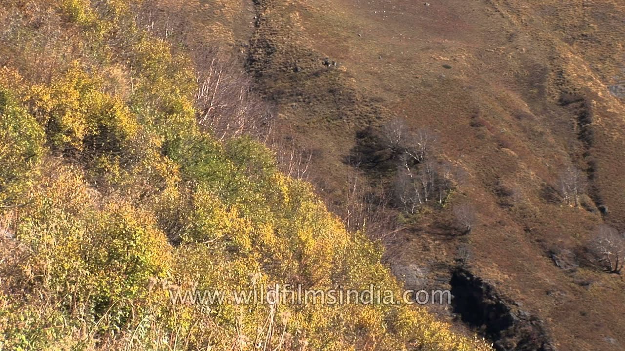
High altitude Himalayan Birch forests en route Sukhi Top in Uttarakhand, along the Gidara route that also heads on to Dayara buggyal.

ceremony · festival
'Havana' being performed at groom's house and his relatives are dancing and singing 'Ganesh Aarti' during a Kumaoni wedding in Uttarakhand. Kumaoni weddings are very simple but are solemnized with a number of rituals and traditions.

snow · temple
Time lapse of Kedarnath town, Uttarakhand. The path leading towards Kedarnath temple is covered with snow. Kedarnath is a town located in the Indian state of Uttarakhand and has gained importance because of Kedarnath Temple.


festival · temple
Uttarakhand, the land known for its sanctity and religious fervor, is a cauldron of religious festivity.

Champawat is a town and a nagar panchayat in Champawat district in the state of Uttarakhand, India. It is the administrative headquarters of Champawat district.

Champawat district is a district of Uttarakhand state in northern India. The town of Champawat is the administrative headquarters. The district is divided into five tehsils: Barakot, Champawat, Lohaghat, Pati, Purnagiri.

monsoon
In June 2013, a multi-day cloudburst centered on the North Indian state of Uttarakhand caused devastating floods and landslides in the country's worst natural disaster since the 2004 tsunami.

monsoon · highway
Damaged road in flood-hit Uttarakhand. Heavy rainfall and flood on July 16 and 17 resulted in floods that damaged National highway No. 58 in the Uttarakhand.
monsoon
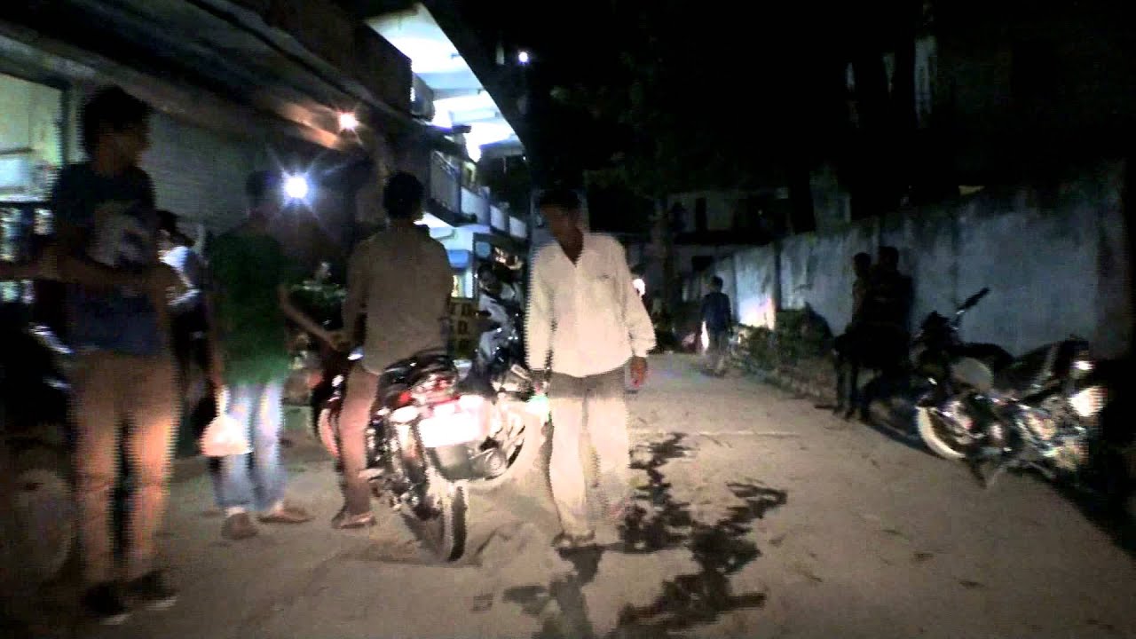
Drive through Joshiana of Uttarakhand. Heavy rainfall and flood on July 16 and 17 resulted in floods that damaged National highway No. 58 in the Uttarakhand.
monsoon · highway
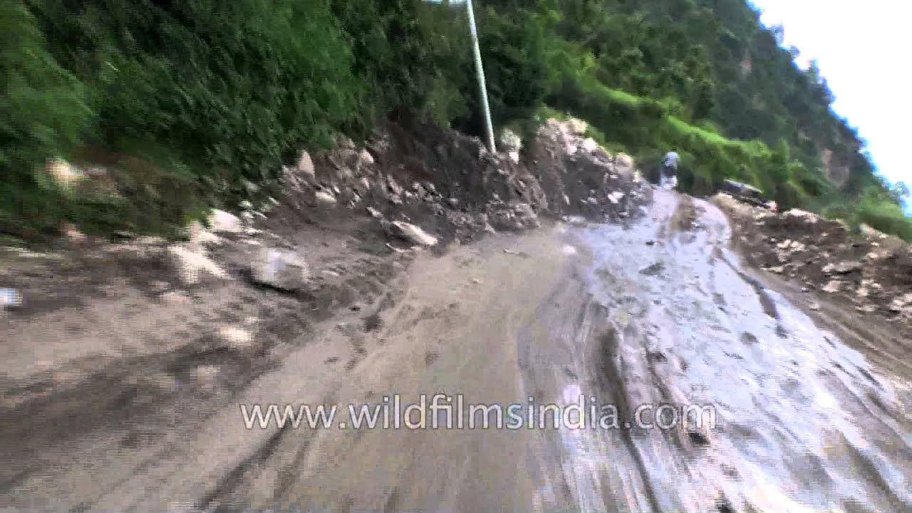
Drive through Guptkashi-Ukhimath Road. Heavy rainfall and flood on July 16 and 17 resulted in floods that damaged National highway Roads and houses in the Uttarakhand.

monsoon
On the way to Guptkashi from Ukhimath. Heavy rainfall and flood on July 16 and 17 resulted in floods that damaged National highway Roads and houses in the Uttarakhand.
river · monsoon
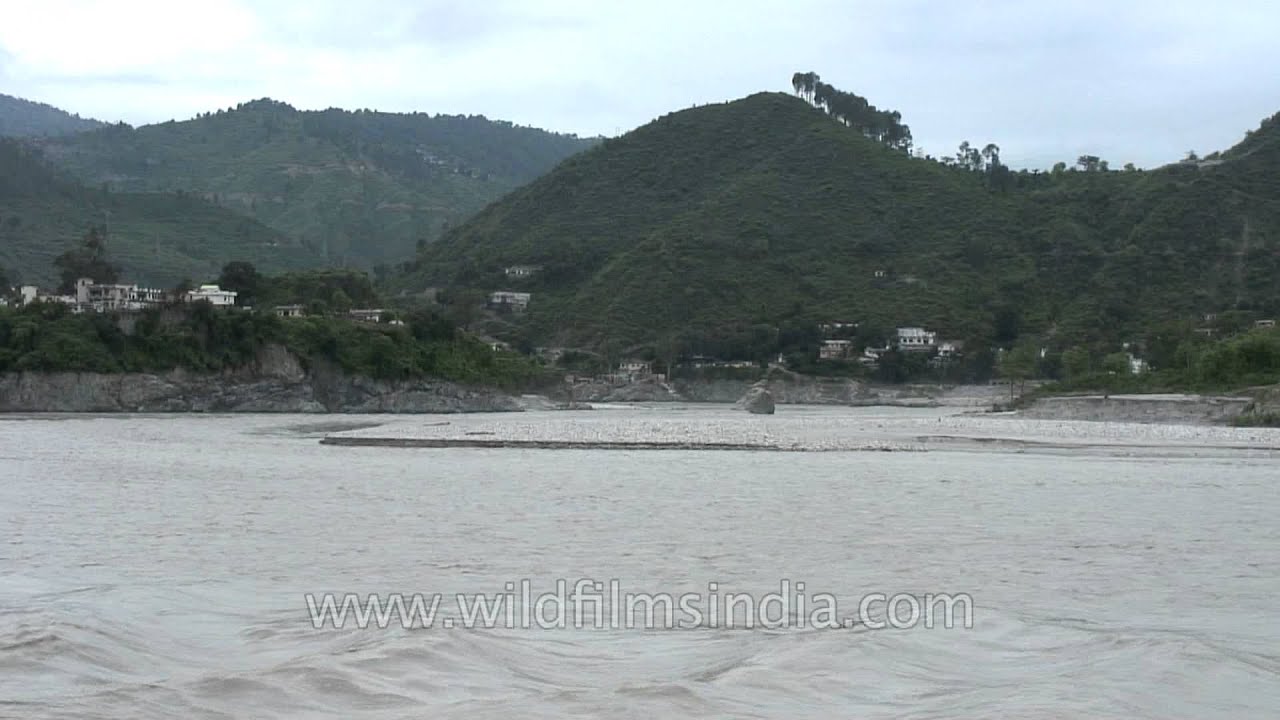
In June 2013, a multi-day cloudburst centered on the North Indian state of Uttarakhand caused devastating floods and landslides in the country's worst natural disaster since the 2004 tsunami.

monsoon · industry
Workers and officials struggle to improve road connectivity in the flood devastated state of Uttarakhand.

forest · hills
Uttarakhand has a total area of 53,484 km², of which 93% is mountainous and 65% is covered by forest. Most of the northern part of the state is covered by high Himalayan peaks and glaciers.
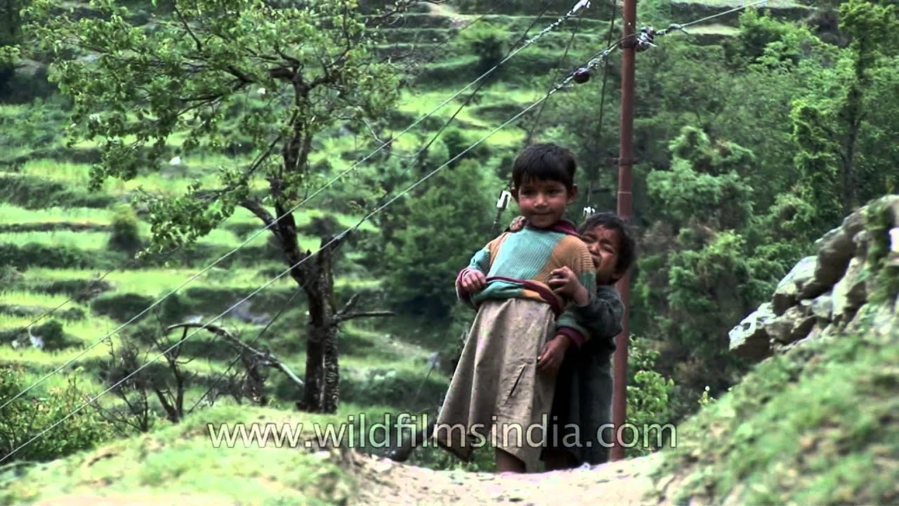
Sisterly love in Garhwal, Uttrakhand (en route Dodital, at Agoda village). Uttarakhand formerly Uttaranchal, is a state in the northern part of India.

wildlife · birds
The Grey-winged Blackbird is one of the finest songsters of India! Seen here in Uttarakhand, India. "The Grey-winged Blackbird male has black plumage on head, neck, back and top of underparts.
Elsewhere in the archive