
'Ananda in the Himalayas' Resort, Uttarakhand!
Ananda in the Himalayas! Ananda Spa Resort is a luxurious world class destination spa frequently visited by high profile people from within the country and abroad.
Your archive
Uttarakhand · 3,533 clips · page 118 of 154
Ananda in the Himalayas! Ananda Spa Resort is a luxurious world class destination spa frequently visited by high profile people from within the country and abroad.


temple · hills
Garhwal Rifles band accompanies Gangotri idol as it enters Mukhba village Much pomp and pageantry accompanies the winter movement of the Gangotri temple idol on its winter journey.
farmland
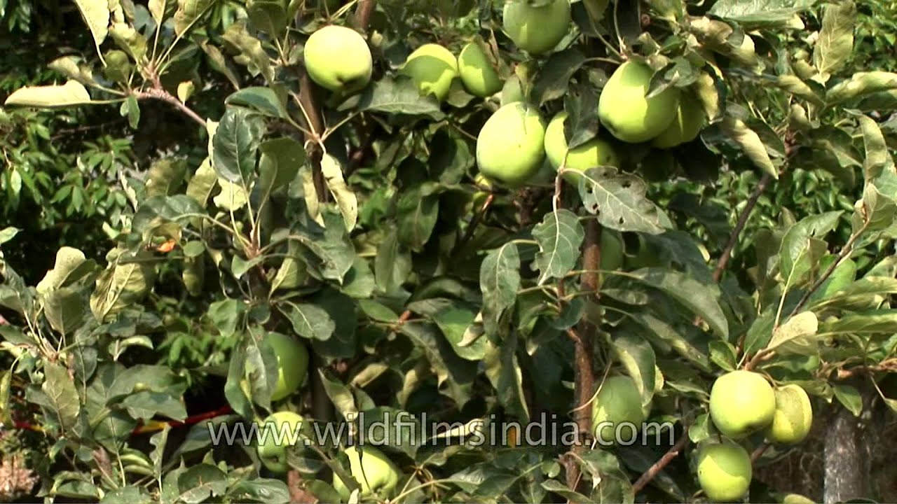
Green apples growing in an apple orchard owned by Dr. Kundan Singh Panwar, expert horticulturalist and consultant to Uttarakhand state government, on horticultural matters, at his Nainbagh fruit orchard in Uttarakhand state.

A Gray Langur takes care of its two babies atop a tree in Uttarakhand. Gray langurs or Hanuman langurs, the most widespread langurs of South Asia, are a group of Old World monkeys constituting the entirety of the genus Semnopithecus.

festival · ceremony
The best of Nanda Devi Raj Jat Yatra in Uttarakhand. The three-week-long Nanda Devi Raj Jat is a pilgrimage and festival of Uttarakhand in India.

river · wildlife
Gauri Kund is a Hindu pilgrimage site and base camp for trek to Kedarnath Temple, in Uttaranchal, India. It is situated at an altitude of more than 6000 feet in the Garhwal Himalayas.

snow · river
The mountain stands strong as the holy Hindu river Bhagirathi flows out of a snout in Gaumukh in Uttarakhand. Gomukh, the terminus or snout of the Gangotri Glacier, from where Bhagirathi river originates.

monsoon
In June 2013, a multi-day cloudburst centered on the North Indian state of Uttarakhand caused devastating floods and landslides in the country's worst natural disaster since the 2004 tsunami.

monsoon
In June 2013, a multi-day cloudburst centered on the North Indian state of Uttarakhand caused devastating floods and landslides in the country's worst natural disaster since the 2004 tsunami.

monsoon
Flash flood washed away roads in Uttarakhand. Heavy rainfall and flood on July 16 and 17 resulted in floods that damaged National highway Roads and houses in the Uttarakhand.

ceremony
Uttarakhandi women attending a wedding in Kumaon gets possessed by the Devi and becomes a medium, while they're in a trance. Rare footage from a real situation. May 2014.

A monkey that knows no bound sit high up on a tree in Jabarkhet, Uttarakhand. Langur, the general name given to numerous species of Asian monkeys belonging to the subfamily Colobinae.

Mayavati Charitable hospital forms a part of Advata Ashrama, Mayavati. It came into being in response to the pressing needs of the neighbouring villages, where live some of the poorest people of the country.

hills
Potentilla atrosanguinea and Anemone flowers in a Himalayan meadow, Kiarkuti, Harsil valley, Uttarakhand.

flowers
Anemones don't have real petals, but have sepals which look like petals. This flower has four (also five) obovate-oblong sepals, which makes it look like clematis. It is a robust perennial with erect hairy stems growing up to 1-2.5 ft.

village
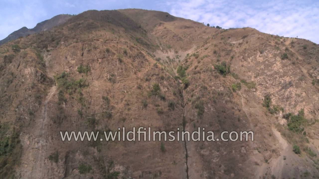
Lakhwar is a village situated in Kalsi Block of Dehradun district in Uttarakhand. Positioned in rural region of Dehradun district of Uttarakhand, it is one among the 204 villages of Kalsi Block of Dehradun district.
livestock
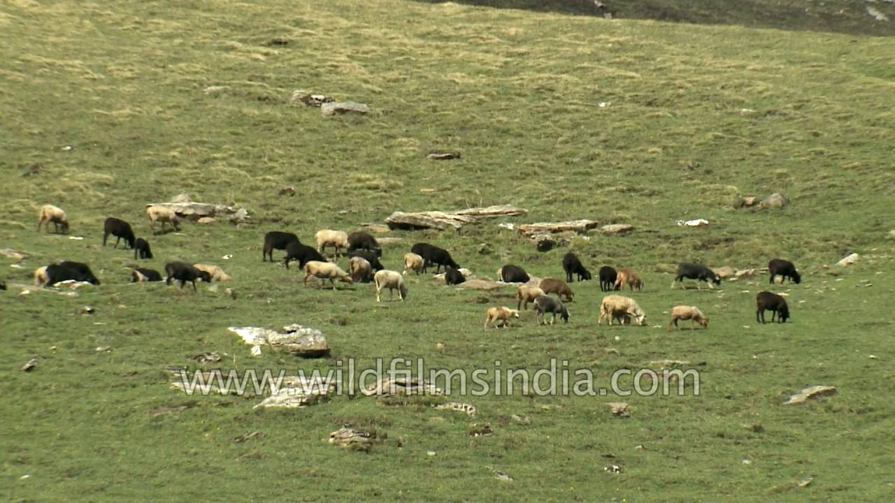
A large number of sheep feed themselves on grasses on green Himalayan meadows of Uttarakhand. Grazing is a method of feeding in which a herbivore feeds on plants such as grasses, or other multicellular organisms such as algae.

hills · river
Kumaon is the land of mythological stories and traditional values in Uttarakhand. Approx. 400 temples are situated in Kumaon. Chopta is situated between Kedarnath and Badrinath.

temple
View of Rudranath (Gopinath) Temple and one can also see the Shiva Lingas inside the temple in the state of Uttarakhand, India. Gopeshwar appears to have been major temple site located about 10km. away from Chamoli on the way to Ukhimath.

hills
Time lapse of moving clouds over the Nanda Ghunti mountain... Nanda Ghunti is a 6,309-metre-high (20,699 ft) mountain in Garhwal, India. It lies on the outer rim of the Nanda Devi Sanctuary. The mountain was first surveyed by T. G.

festival · ceremony
Top shoot of a village in Uttarakhand. One can see devotees head towards, carrying the palanquin of Goddess Nanda Devi during Raj Jat Yatra in Uttarakhand........
Elsewhere in the archive